


When we thought that this hiking season to the beautiful Swiss nature is over, the last October´s weekend weather allowed us to take one more trip to the mountains. This time it was our goal Stockhorn, 2.190 m high mountain in the Bernese Alps.
The typical shape of the Stockhorn northern wall overlooks the city Thun and gave the name to the local football stadium.
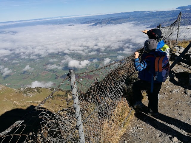
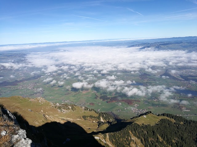
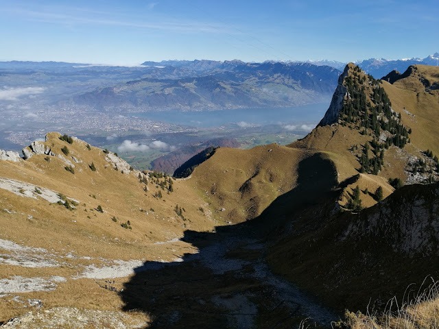
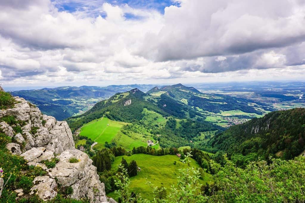
Thun is down below the clouds
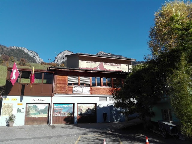
Arrival
The starting point for trips to the Stockhorn is Erlenbach
To the top
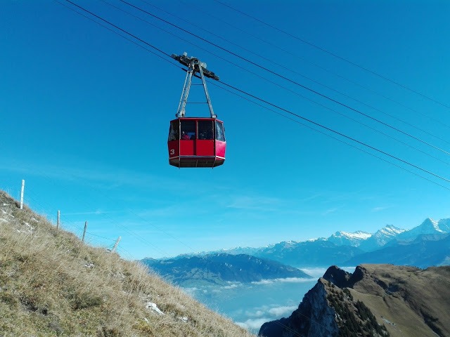
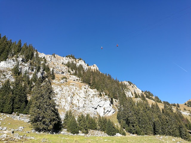
When I recently mentioned at my German course, that we would like to set out on the Stockhorn, I was advised to set off as soon as possible, otherwise, we will have to probably stand long queue for the cableway. It runs from the valley station only 2 times per hour and can accommodate only 60 people. We were lucky enough that we waited only about 15 minutes (which can seem like an eternity with three small children 🙂 )
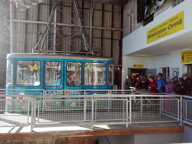
First, we went (packed like sardines) to the middle station Chrindi, which is located at a height of 1.642m.a.s.l. where we changed for another lift. It does even have a smaller transport capacity (probably counting on the fact that a lot of people get off there to set out to the top on foot), but it runs more often.
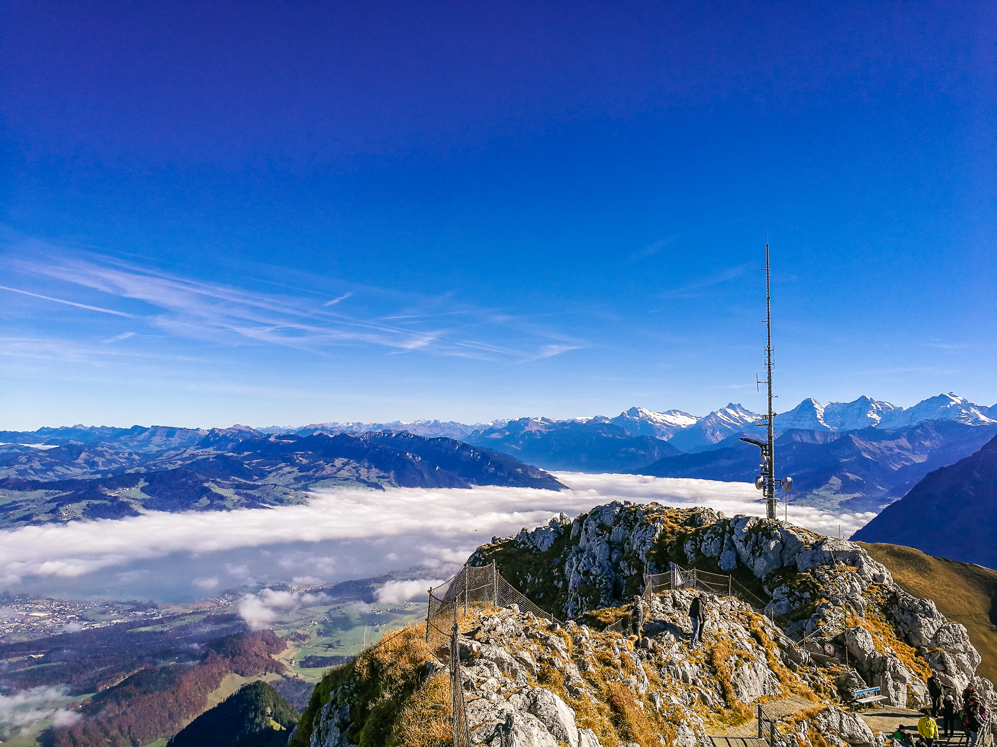
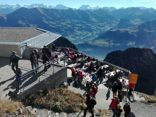
Panoramic view
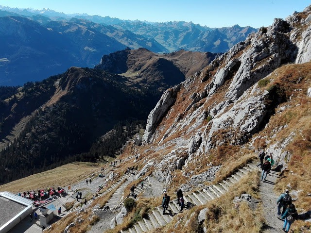
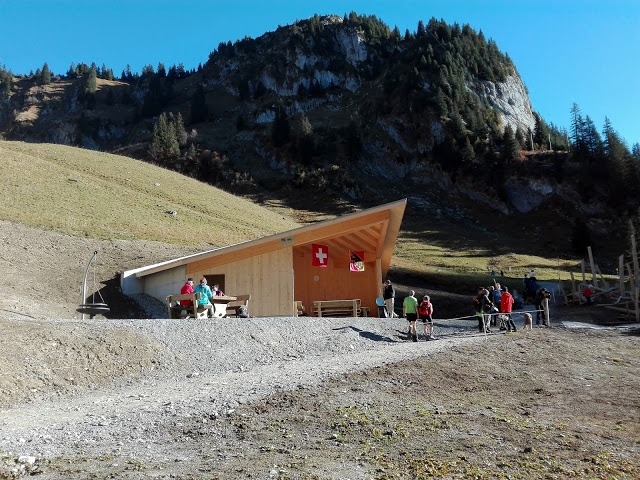
Right by the mountain station, there is a restaurant (part of it with the self-service, part serviced) with spectacular views. Here you can enjoy Sunday brunches (year-round) or moon-light dinners. Anyway, we were “only” enjoying the views from the south side of the mountain, comfortably seating on benches on the sun terrace.
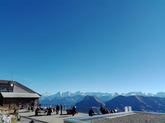
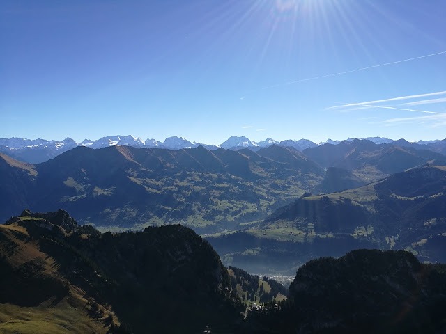
To enjoy the views of all sides, we had to walk about 5 minutes up to the very top of the Stockhorn. When we got there, there was a bit overcrowded with other tourists. Plus the tricky part was, that we had to climb over rocks, which were a bit slippery and it wasn´t advisable to fall. As a reward for this was little danger, we were greeted with the views of the Alps spreading far to France on one side, and Lake Thun partly covered by clouds and central Switzerland to the Jura Mountains on the other.
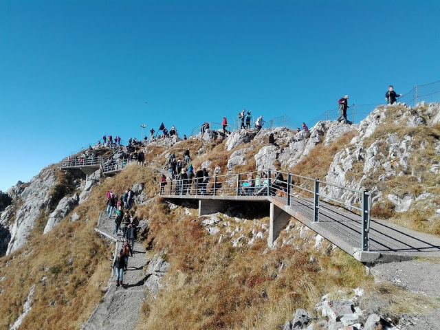
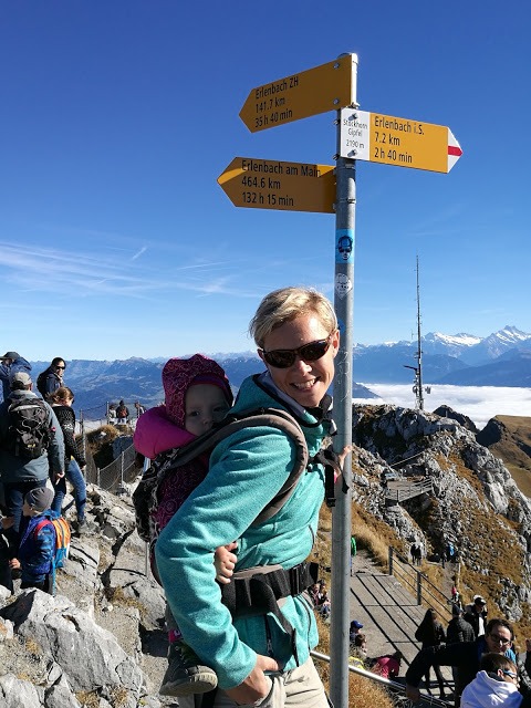
I thought that this was the panoramic view, about which I had read in the guide. But only then at home, I found that the main attraction is the panoramic viewing platform with a glass floor which is accessible by the tunnel through the north face of the Stockhorn. Oh well, OK, so maybe next time! At least we have something to look forward to 🙂
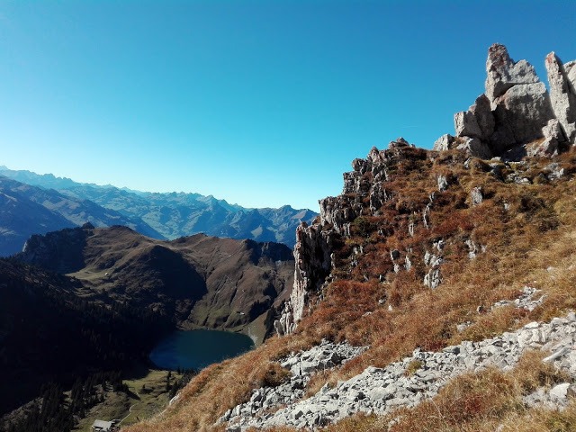
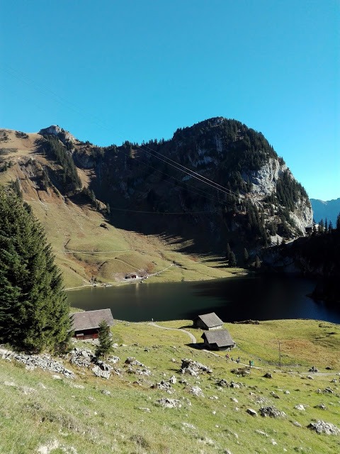
Descent to the Lake Hinterstocken
Our original intention for this trip was to go to the top of the Stockhorn by the cableway, to soak up the panoramic views and then
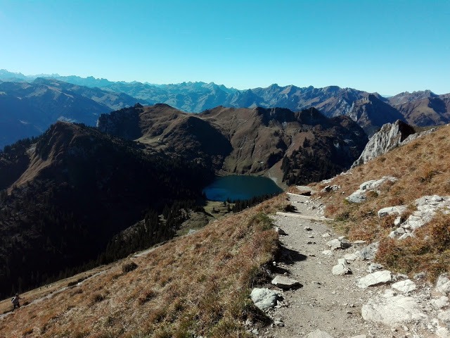
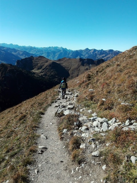
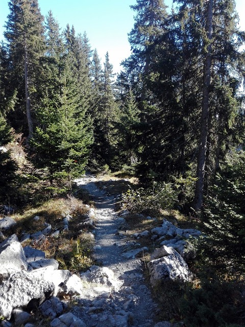
Part of the trail led zig-zag on the southern wall of Stockhorn and there was nowhere to hide from the quite sharp sunshine. But the trail was quite easy going and well we enjoyed beautiful views. The second part of the route turned into the forest at Oberstockenalp, which was quite a relief, but we had to pay more attention to the road and watch our steps (definitely not suitable for a stroller!). We managed this approx. 3,5 km long hike in an hour and a quarter and we descended 600 meters.
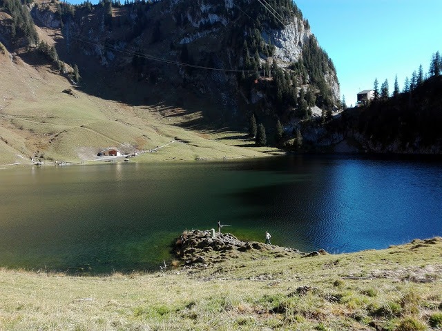
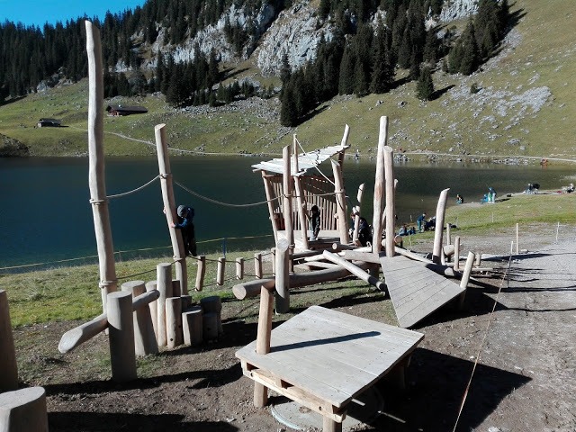
Hinterstockensee
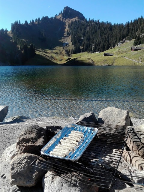
By the lake (which is also suitable for fishing), we headed to the picnic spot with a fireplace, playground
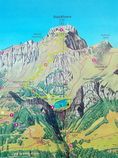
After refreshments in the form of roasted sausages we went back to the valley. Above you can see our hike on the map (we took trails No. 2, 3 and 11).
If you don´t want to miss any of my recent posts please sign up for my blog in the top right-hand corner of this page. Thank you 🙂 I will appreciate any time if you share my posts on Facebook or Twitter. It helps get my blog out to more people, who may like my posts. Be sure to follow me on Facebook, Pinterest, and Instagram.
And of course I look forward to reading all your comments.


5 Comments. Leave new
[…] Stockhorn […]
[…] Stockhorn […]
[…] Stockhorn […]
[…] 9. Stockhorn […]
[…] 9. Stockhorn […]