


One of the good things about blogging is that you can make new friends. And it’s even better to meet these friends you know only from the online world or social media personally. I was very pleased when one of the blog readers sent me a mail saying that he and his wife are following my blog and it would be nice to plan a trip together. So our hike took place on the border of Emmental and Berner Oberland in the middle of June. Surely you remember it was not so long ago I wrote about our skiing experience at Snowpark Eriz.
Getting there
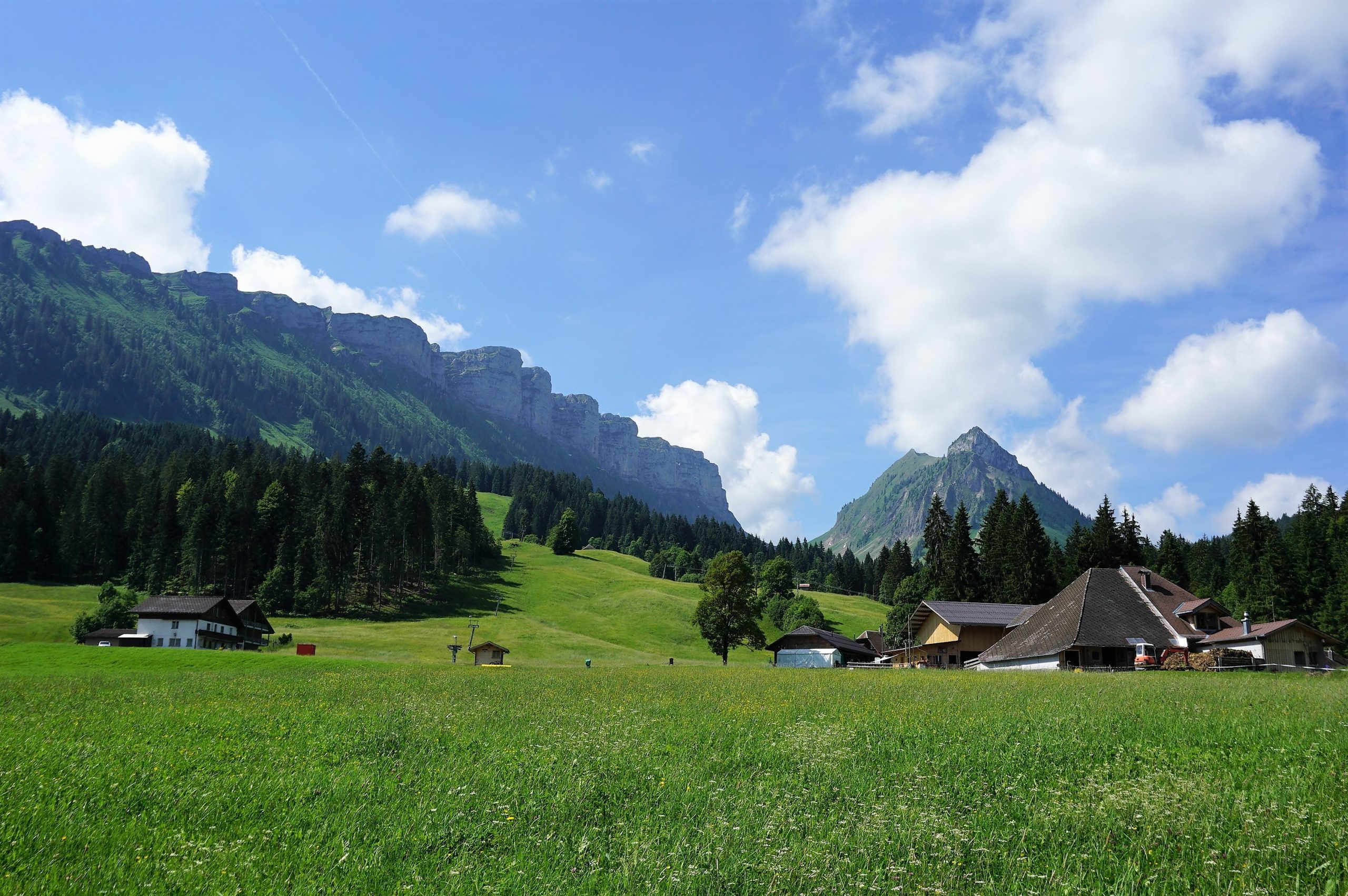
From Bern, you are here in 45 minutes by car. At first drive along the A6 motorway in the direction Thun, then take the exit Steffisburg. Approxim1ately after 10 kilometers, in Oberlangenegg, turn right. Then you must drive about 9 kilometers along a winding road. Parking costs are 4CHF/day (the parking meter doesn´t return cash, have the exact amount with you).
Public transport: From Thun, you can also take a bus, line 41, stop Innereriz, Säge (timetable available here).
Trail
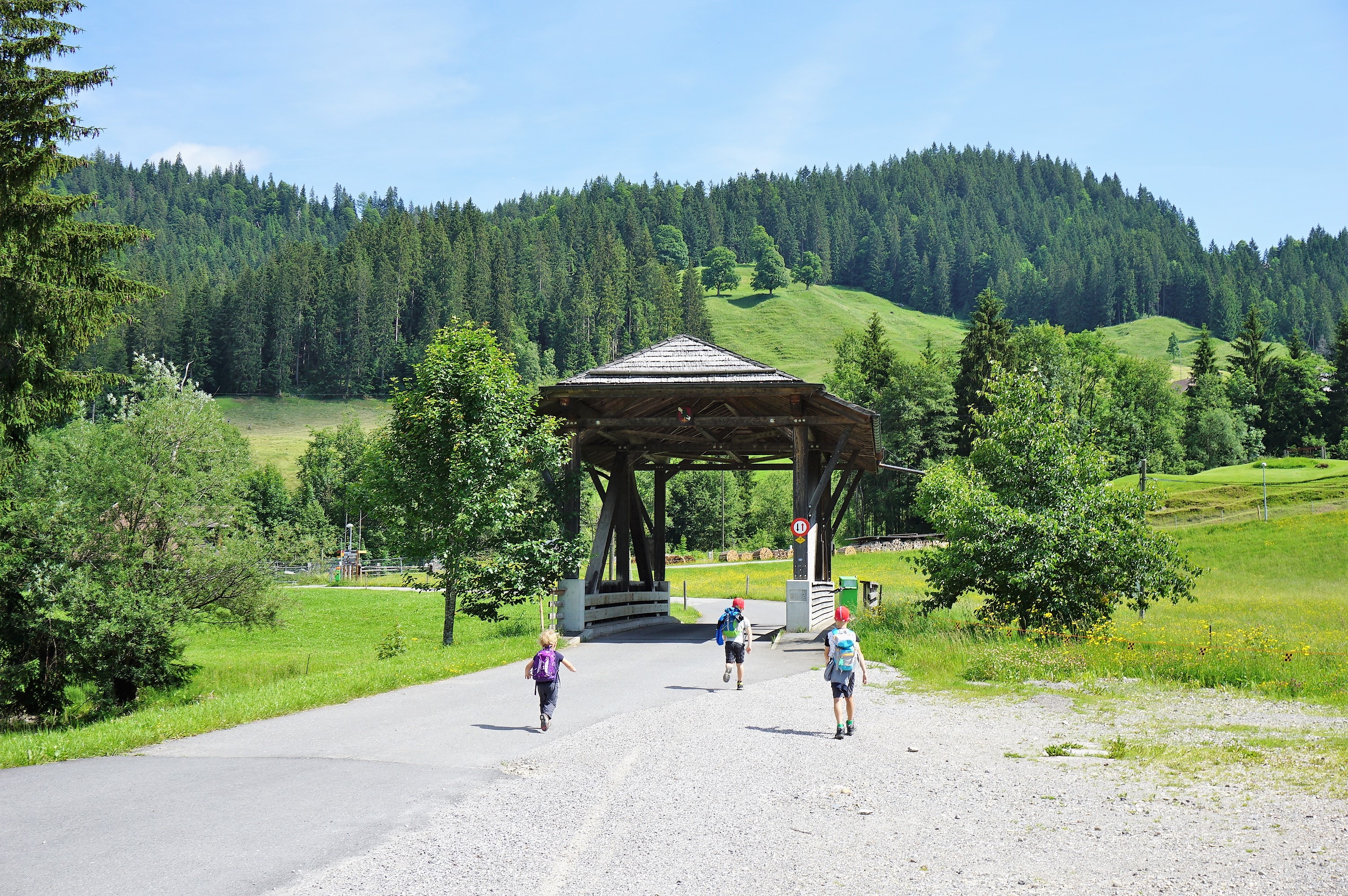
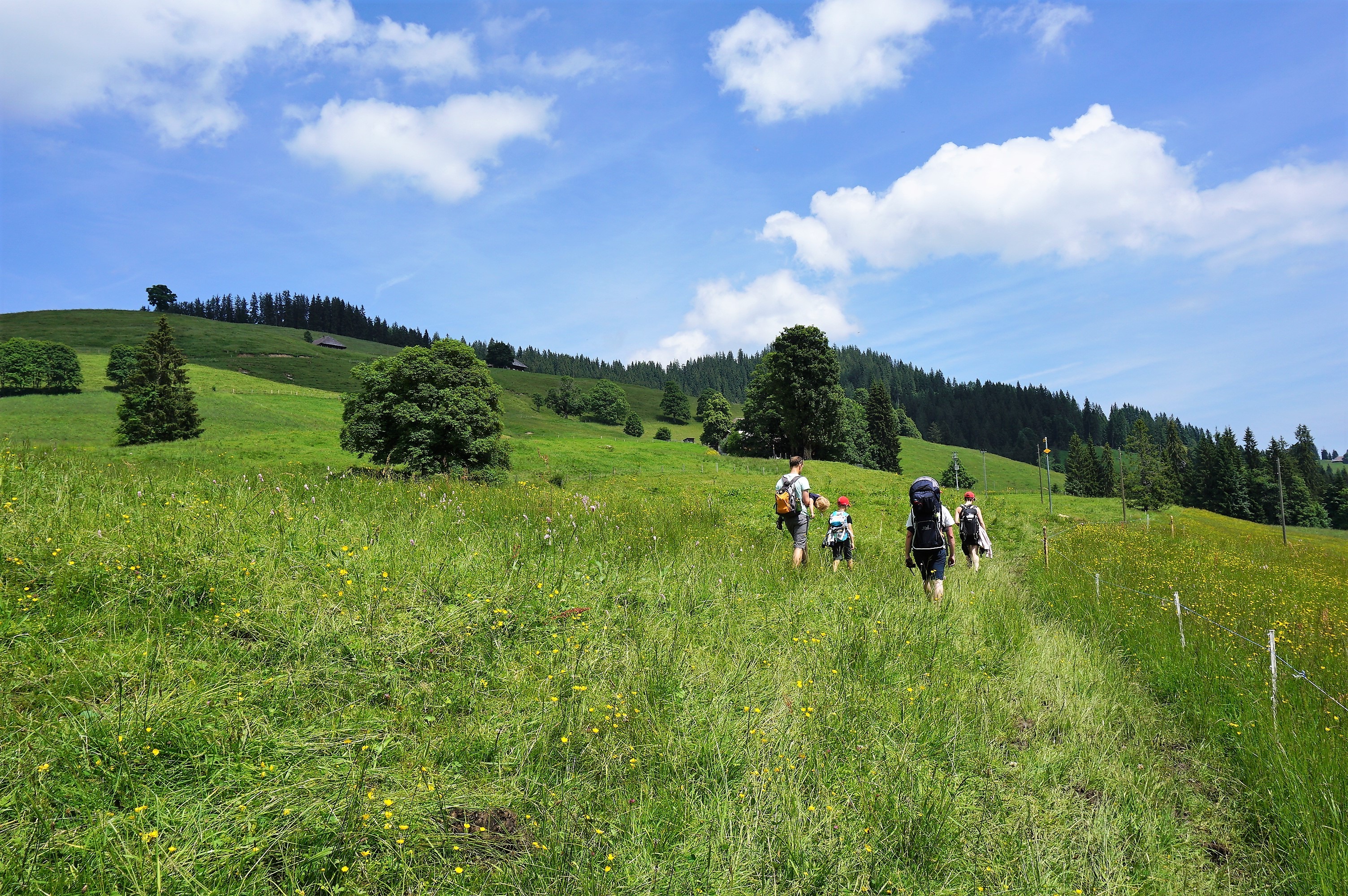
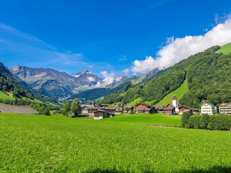
From the parking lot, we walked over the covered bridge over the Zulg River to the Säge Restaurant. Behind it, we crossed the bridge and hiked up the tarmac road in the direction of the Dräcker farm.
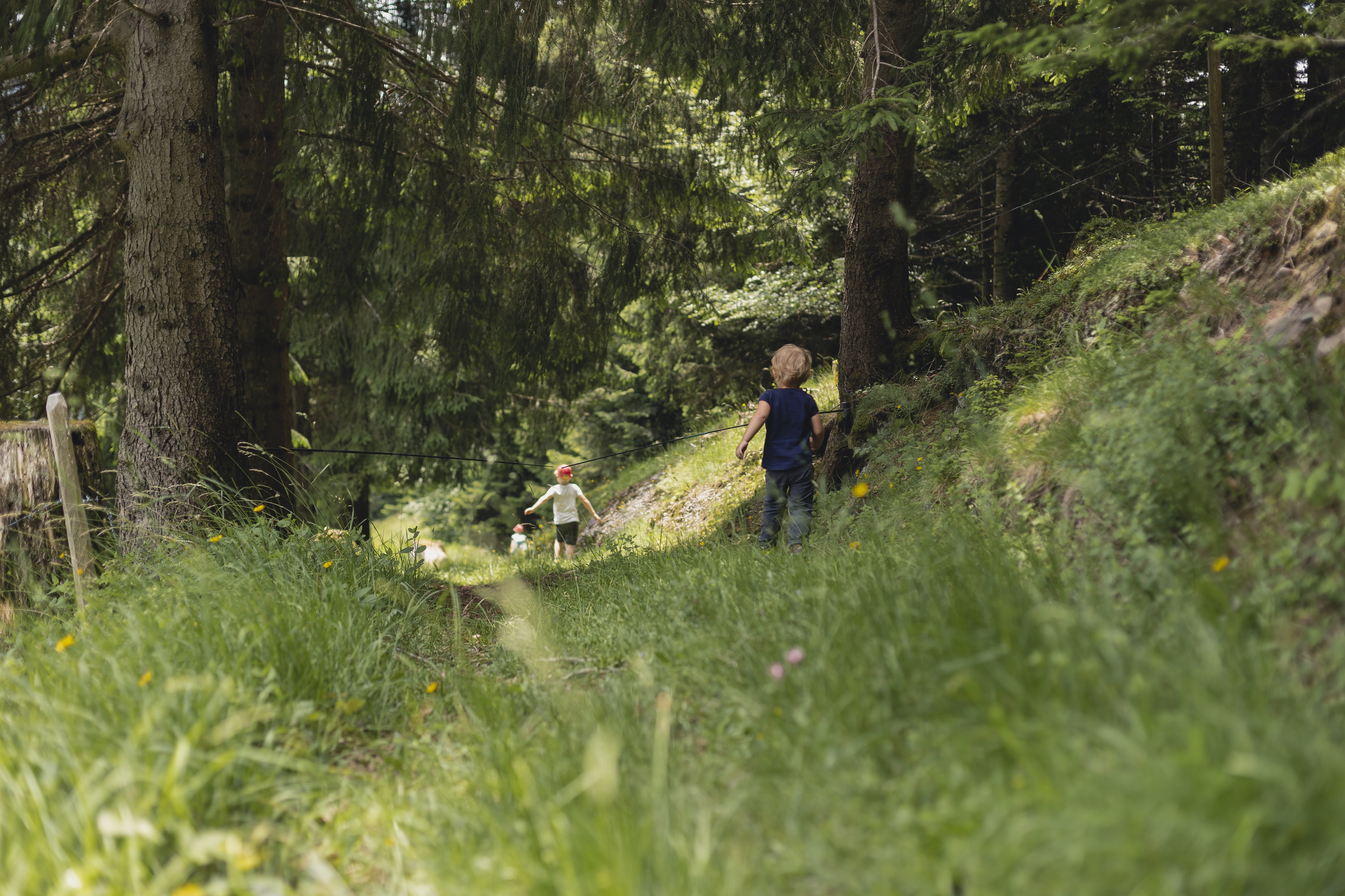
After a short stretch of forest, we reached the clearing. It was here and there water-soaked although it did not rain for a few days. But it was only to remind us that we were approaching the marsh. For a while, I regretted not taking spare socks with us because our shoes got soaked (my fault that we had bought the “Wanderschuhe” – the proper hiking shoes – just for kids but not for us).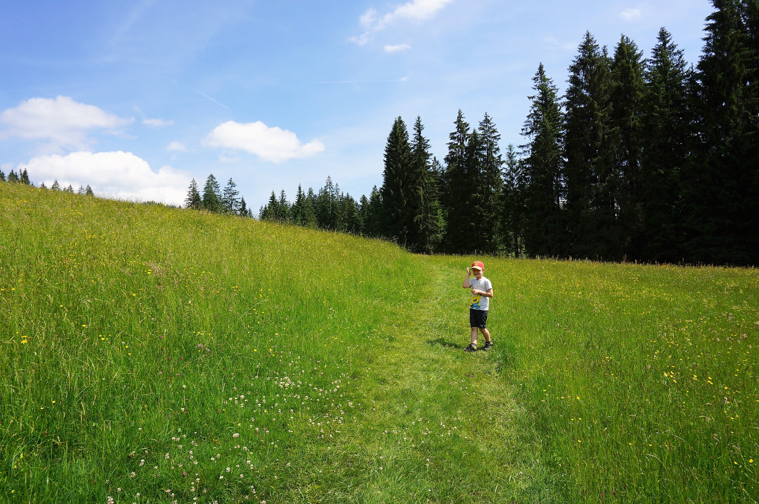
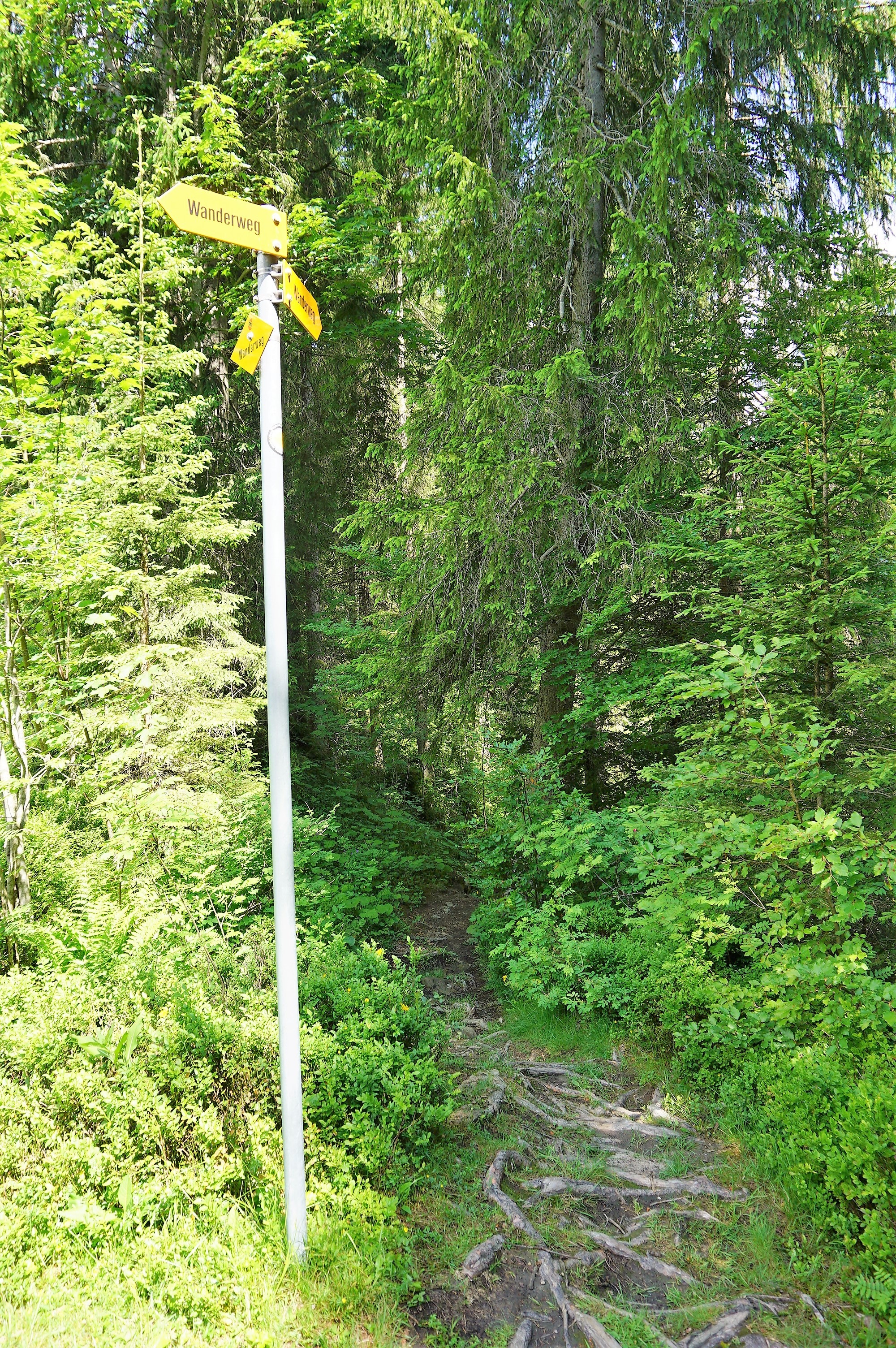
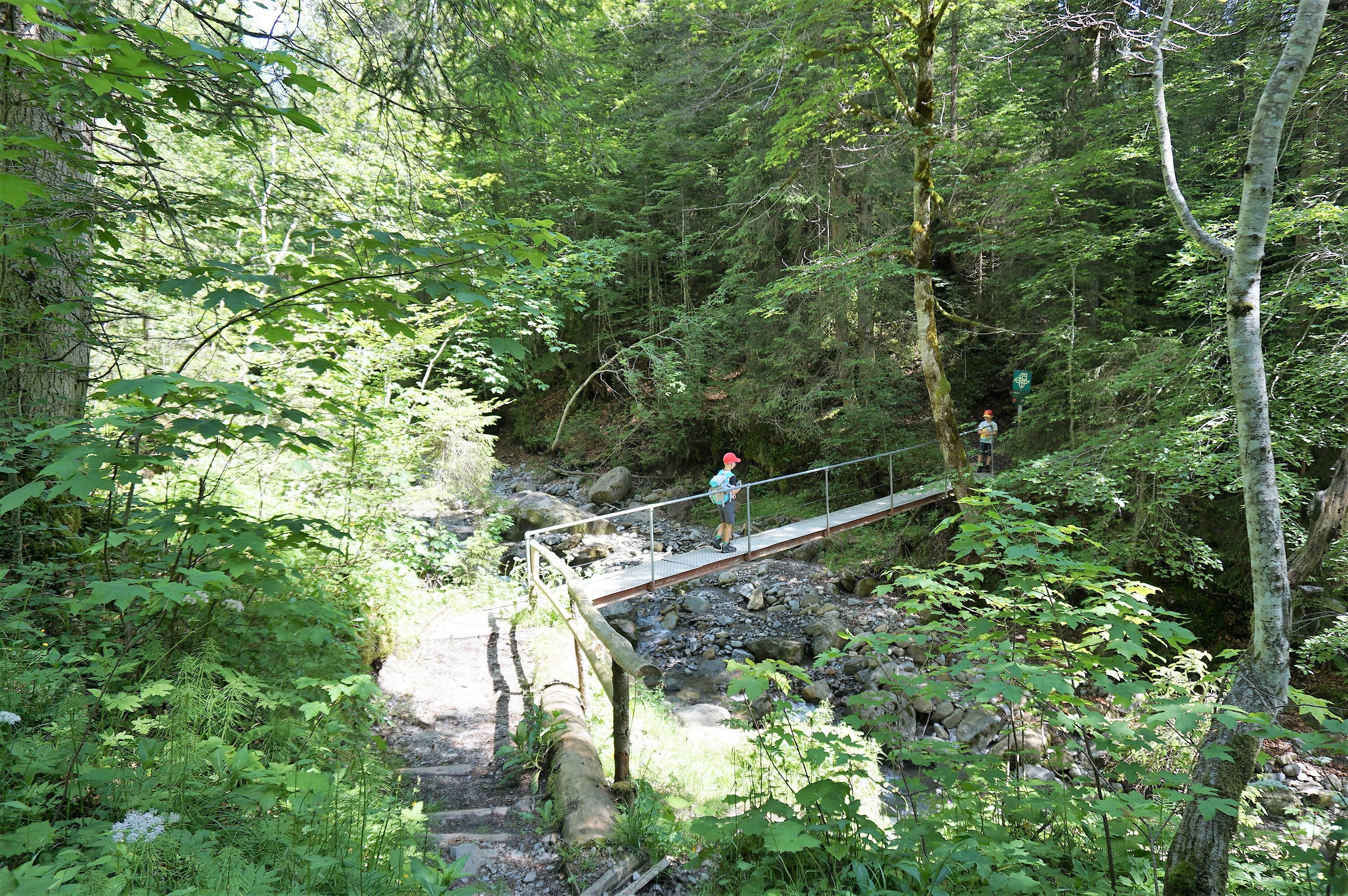
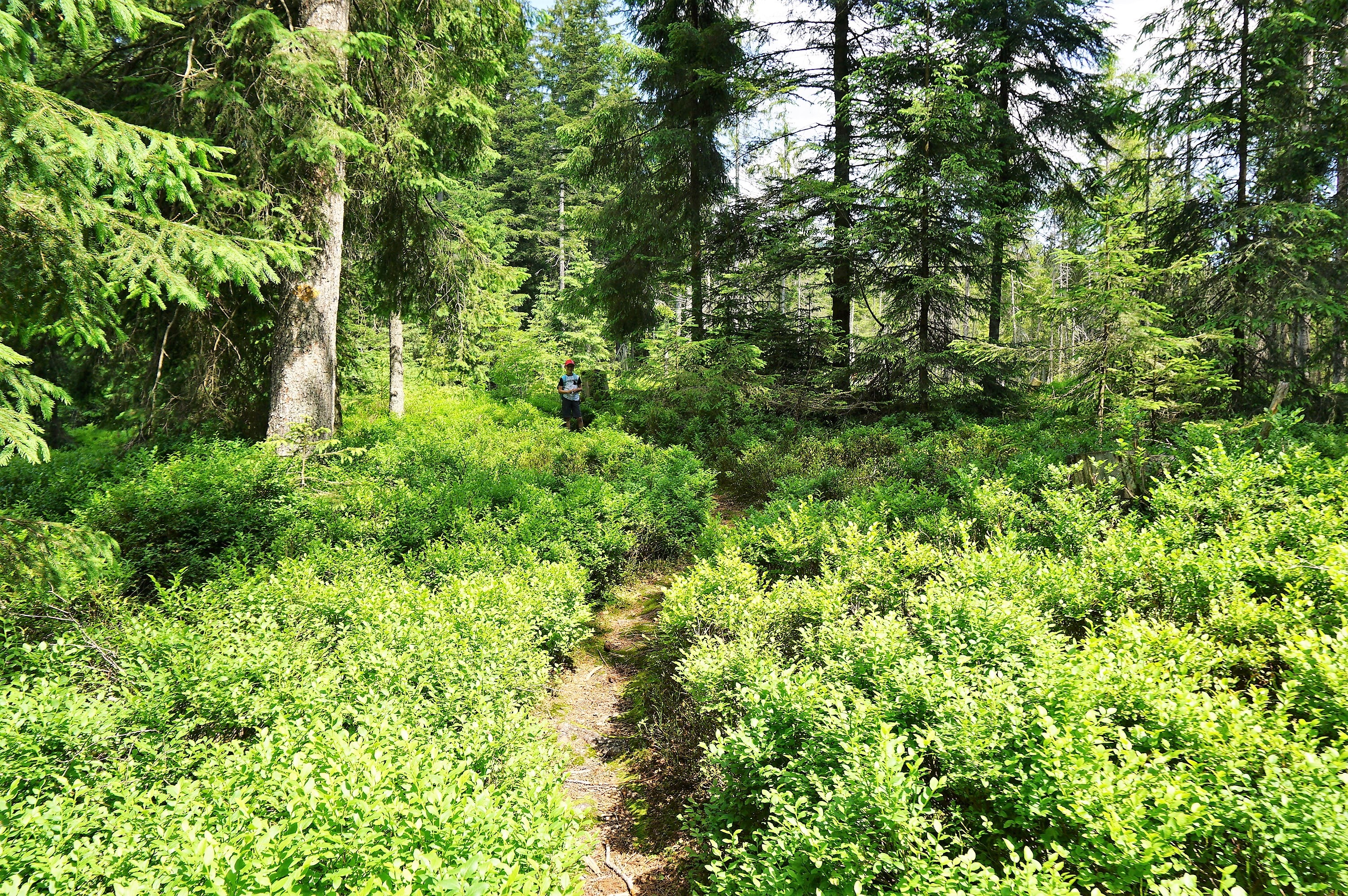
At the edge of the clearing, we entered the forest along the trail from the roots that formed the natural stairs. We came to the Chaltbach stream and, by crossing the metal bridge, we reached the nature protected area Rotmoos – that can be translated as a red marsh. This roughly 65 hectares large area has been protected since 1944 because there are several tens of rare plant species grown here and several tens of bird species living here.*
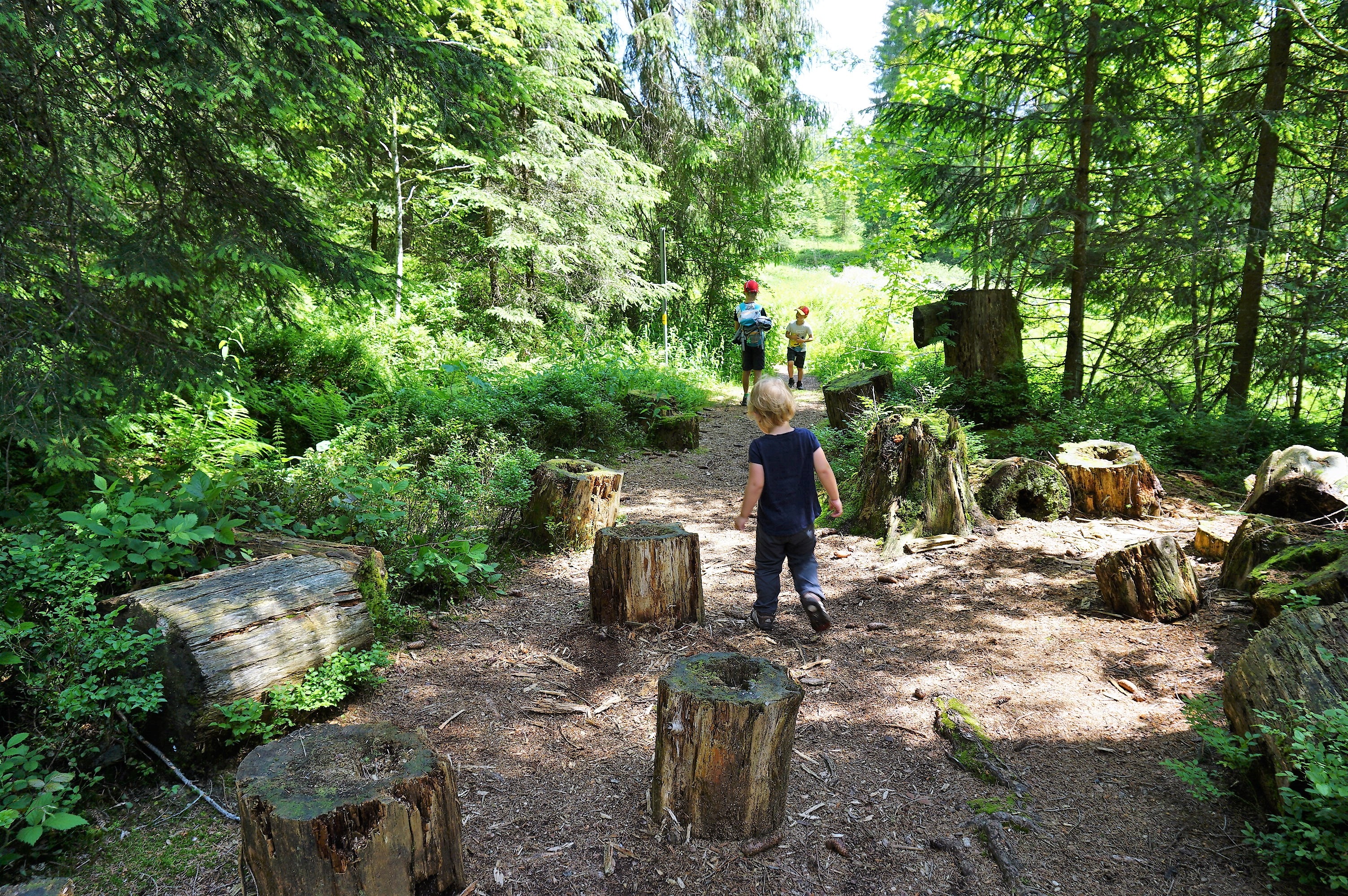
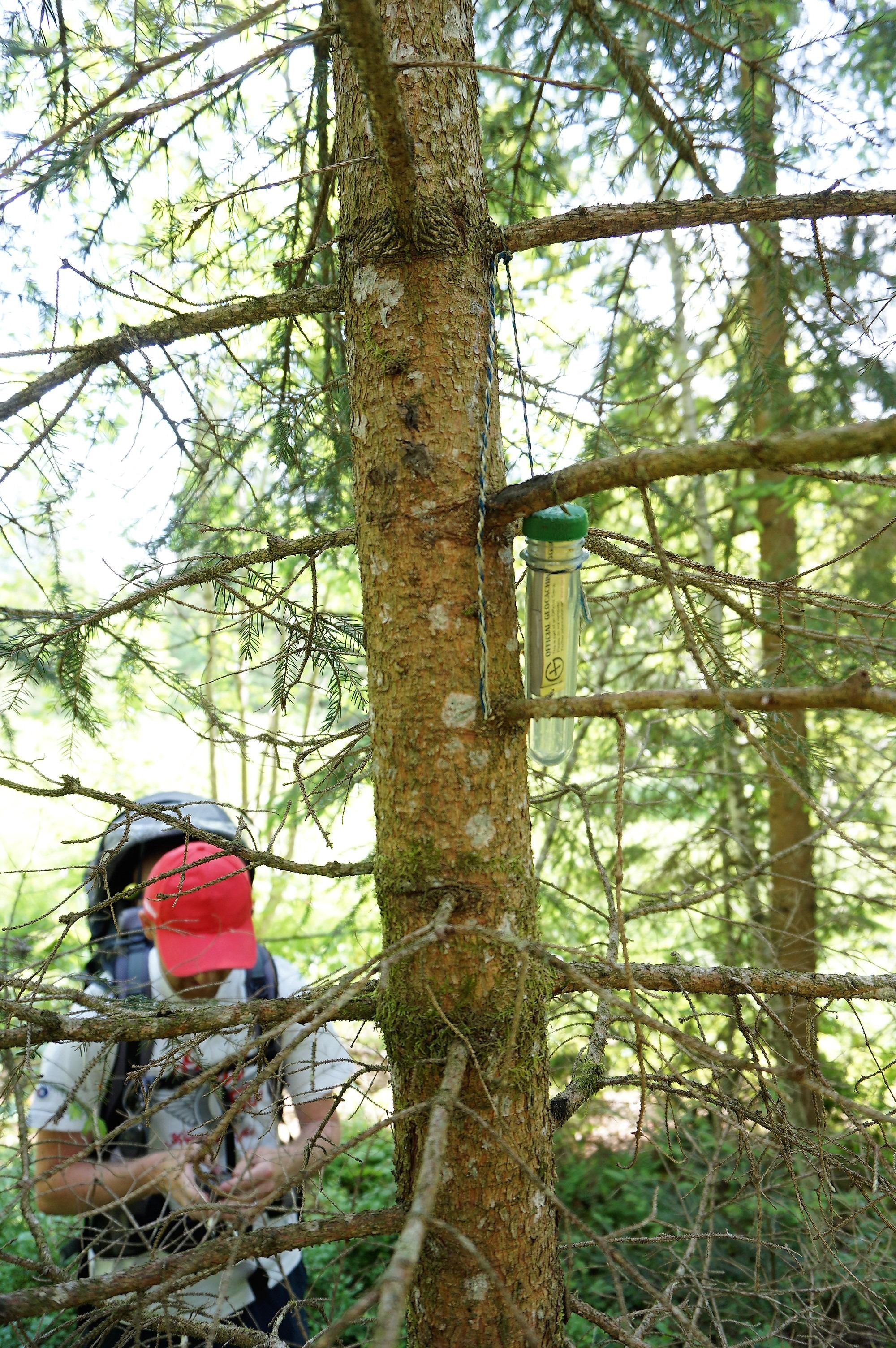
On a small clearing surrounded by dense greenery, we were introduced to geocaching. I’m just afraid the kids will not go out for hikes with us if there is no “treasure” on the way. And I also hope that I do not break any caching rules when I show you what kind of cache we found (if so, let me know, I don´t want to make any faux pas).
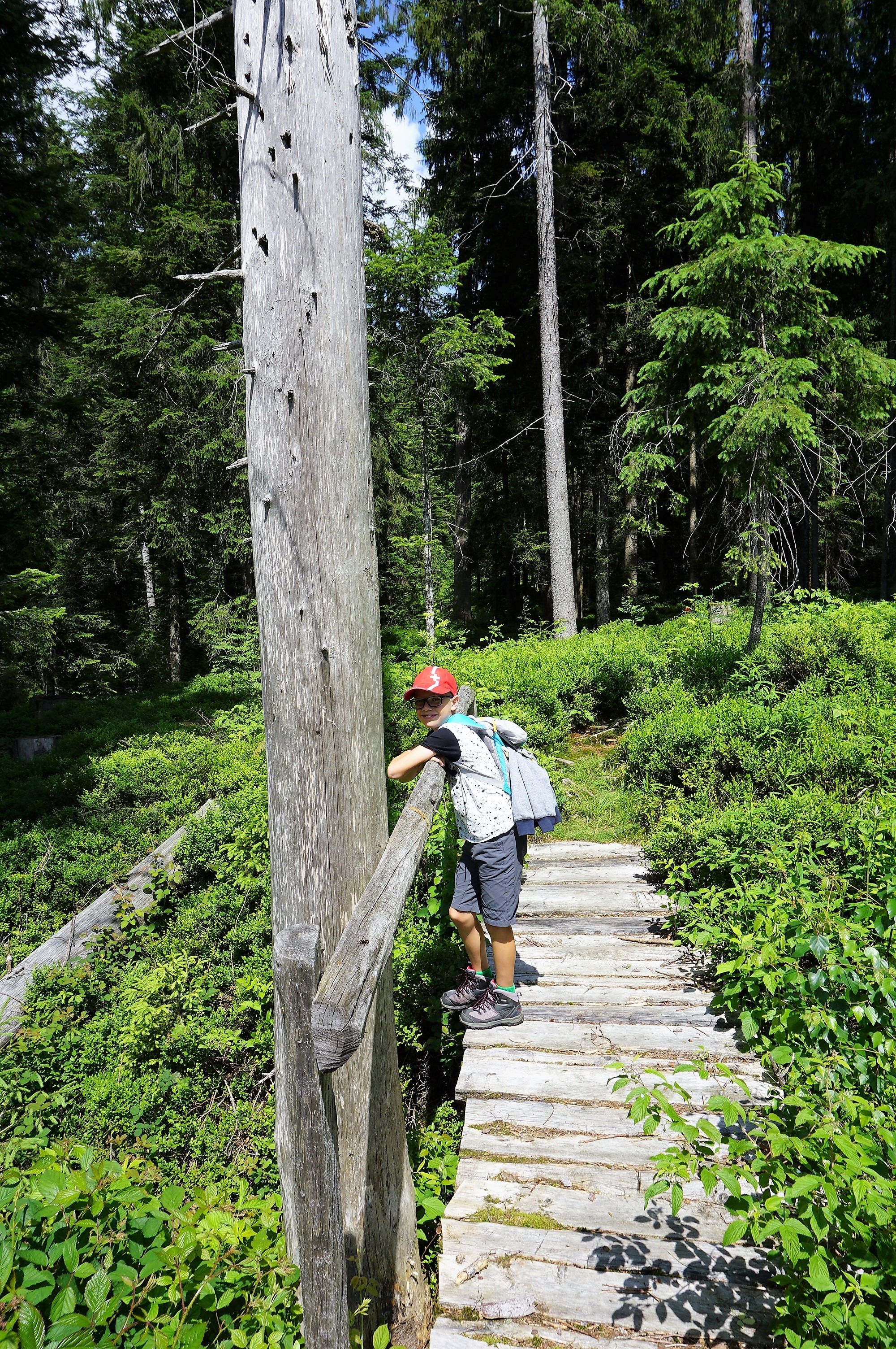
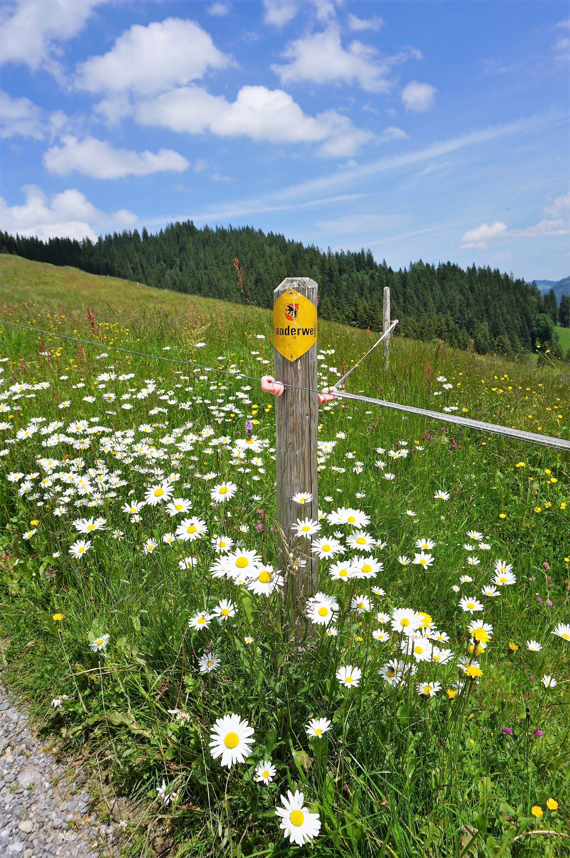
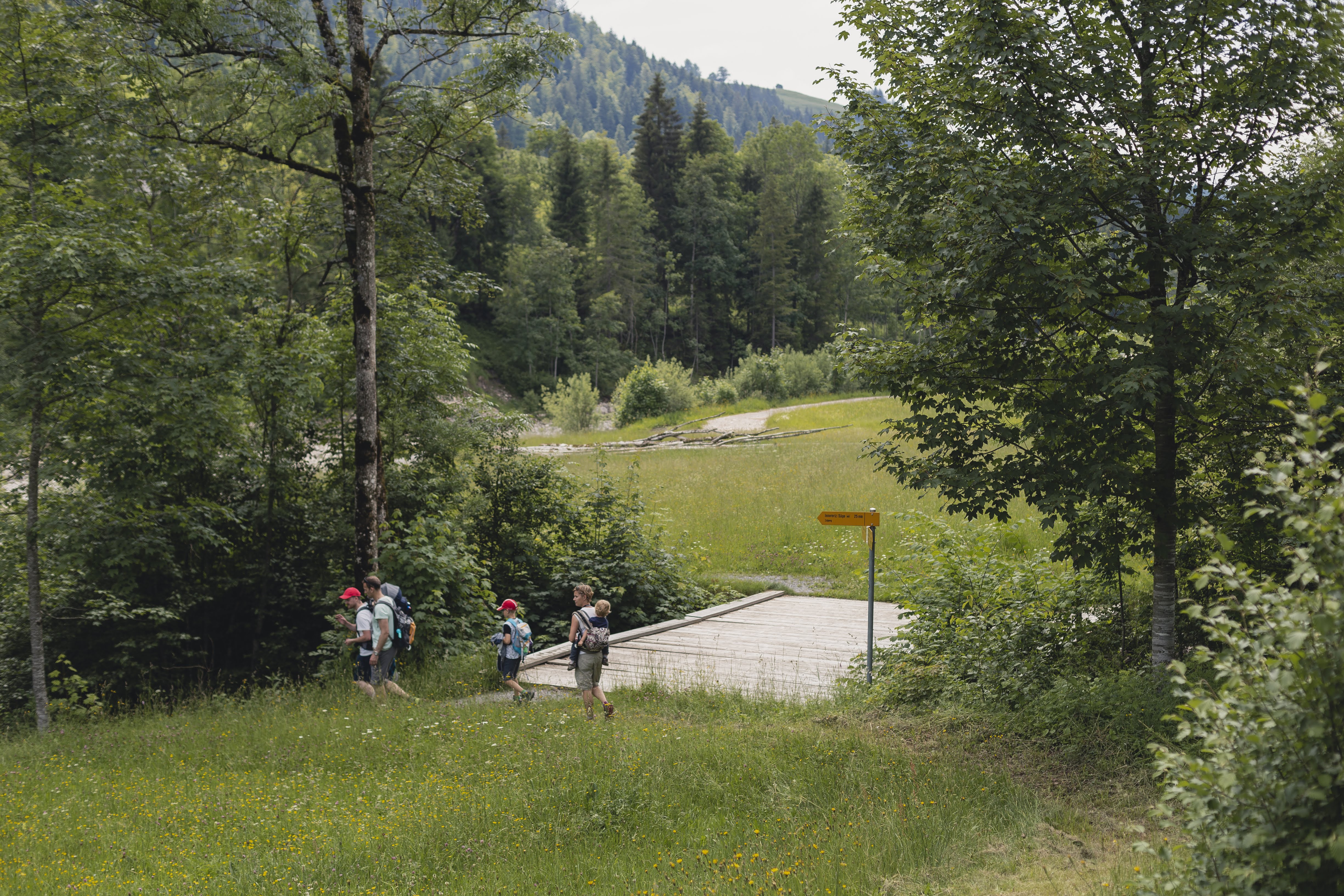
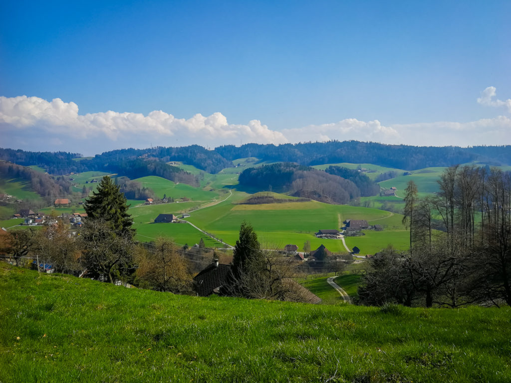
Then we didn´t follow the Rotmoos loop trail (there is the possibility of a guided tour into the Rotmoos – just ask in the local tourist office), but we turned left. Through the narrow path between the blueberry bush and the wooden bridges, we found ourselves on another pasture.
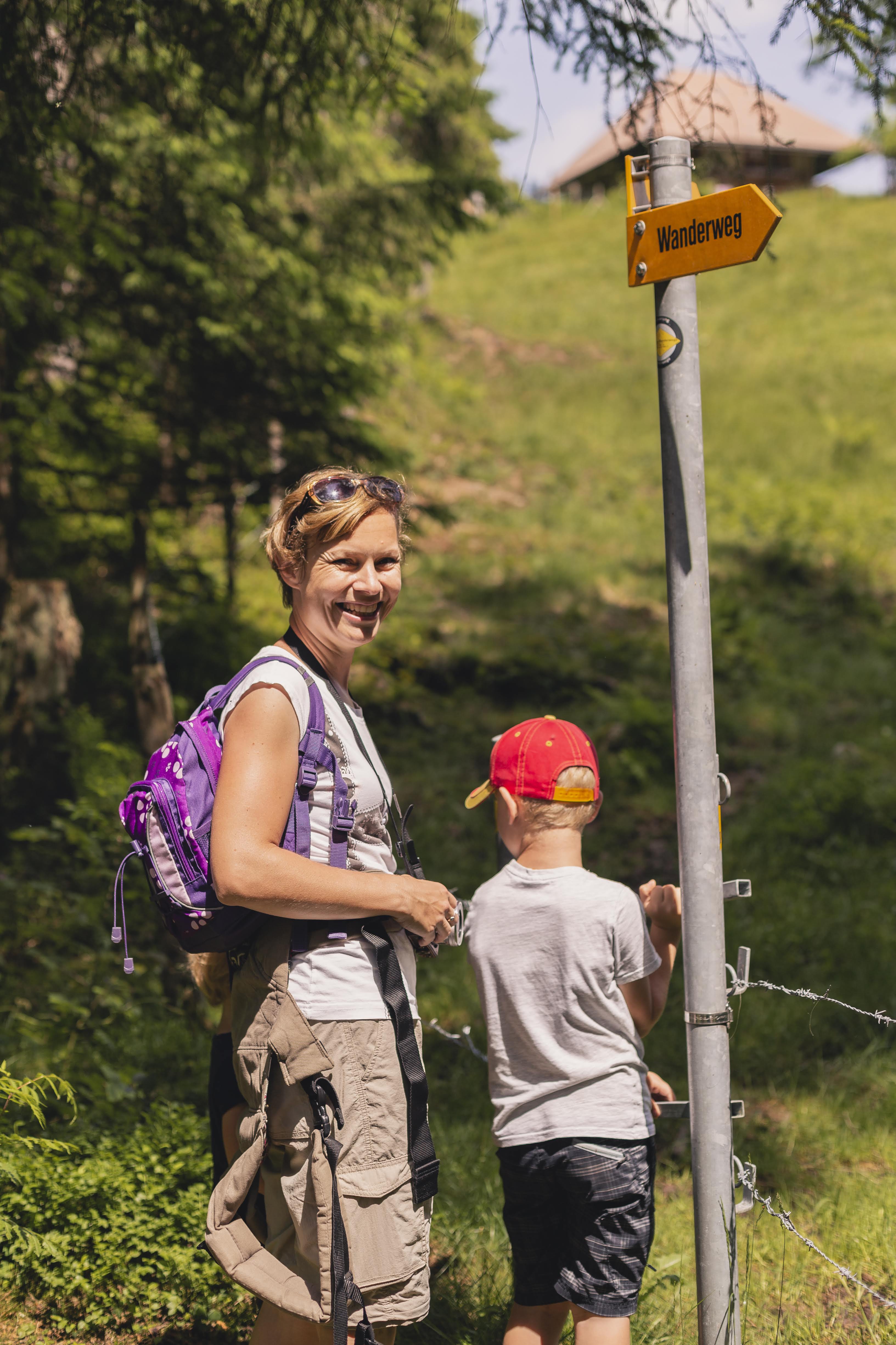
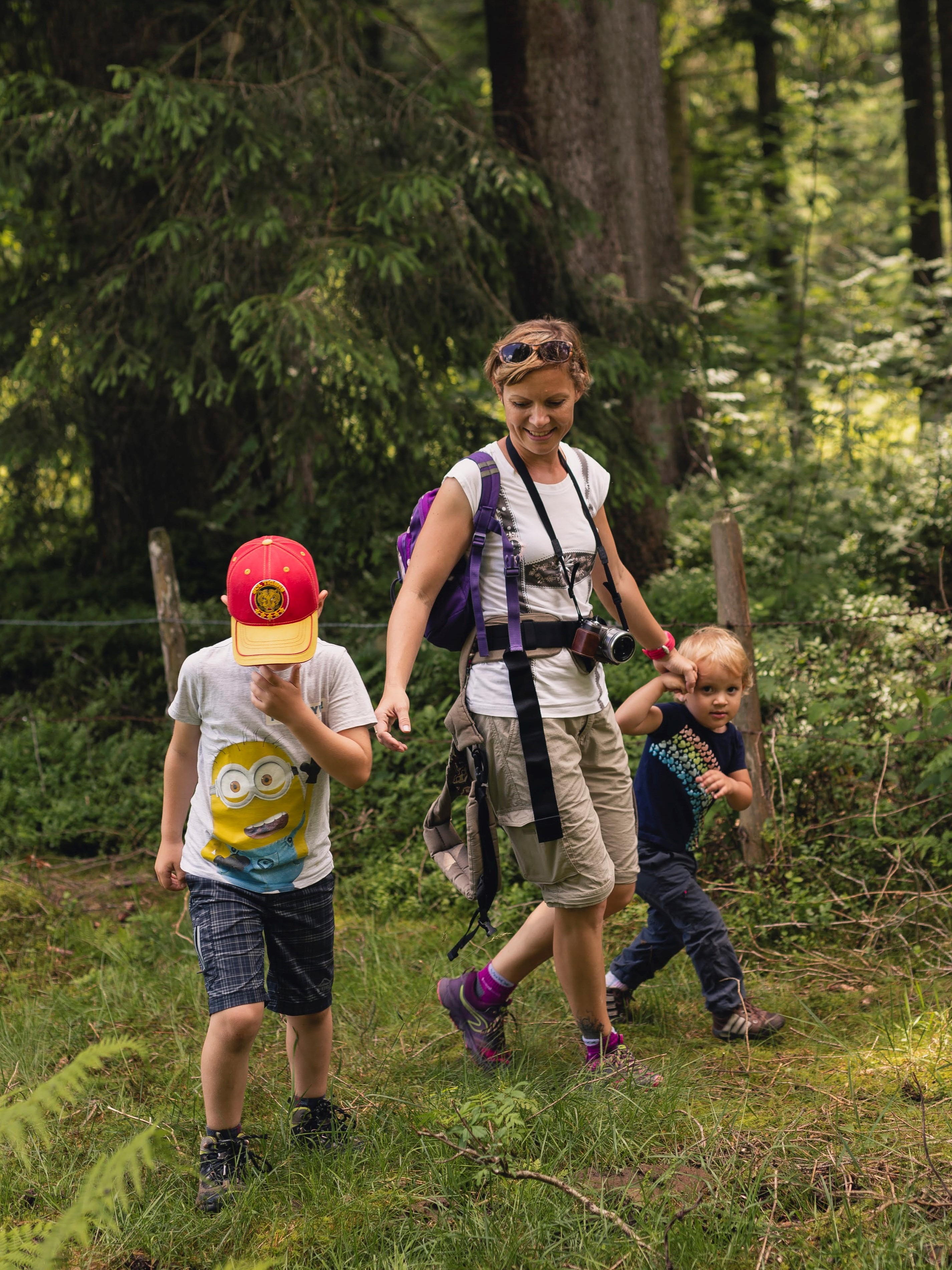
Here I make a quick detour because I want to show you some pictures of myself taken by talented photographer and graphic artist Andrea Klimenko, who accompanied us together with her husband and their little son on this trip (here you will find her Facebook, Instagram, and website).
In the pasture, we found a place that was not waterlogged or littered by cowpats and sat down for a snack. Then we continued on to Unter Scheidzaun. Here we turn left towards Hengst.
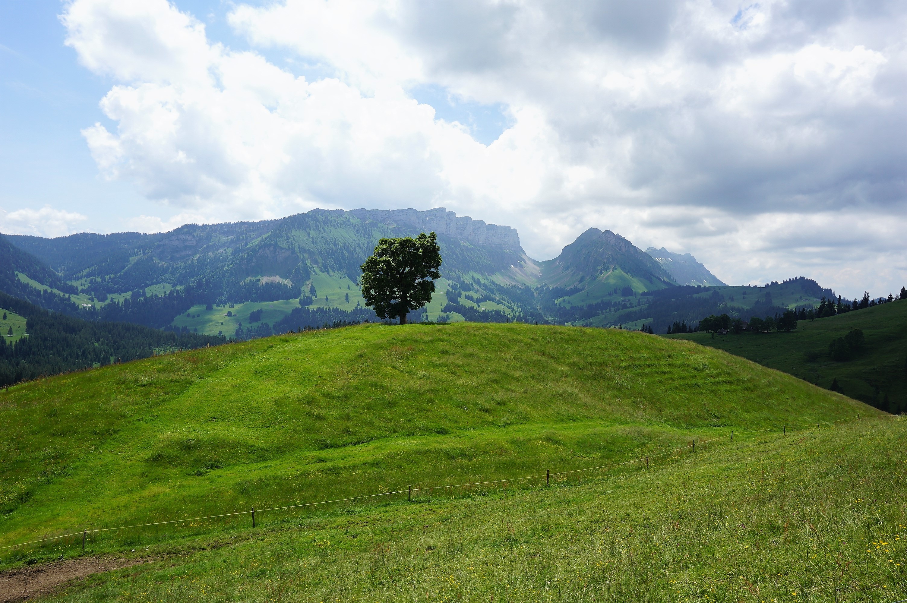
In some mysterious way, we did not followed the trail to the next signpost, but we turned right. When the steepness of the path was already a bit suspicious (when I checked the trail before, there was not such a steep climb in the map), we found out we were going the wrong way and we had to go back. Although we did this detour, no one was protesting since we were climbing the hill down. And if we didn´t do this unplanned turn, we couldn´t be able to enjoy the beautiful views 🙂

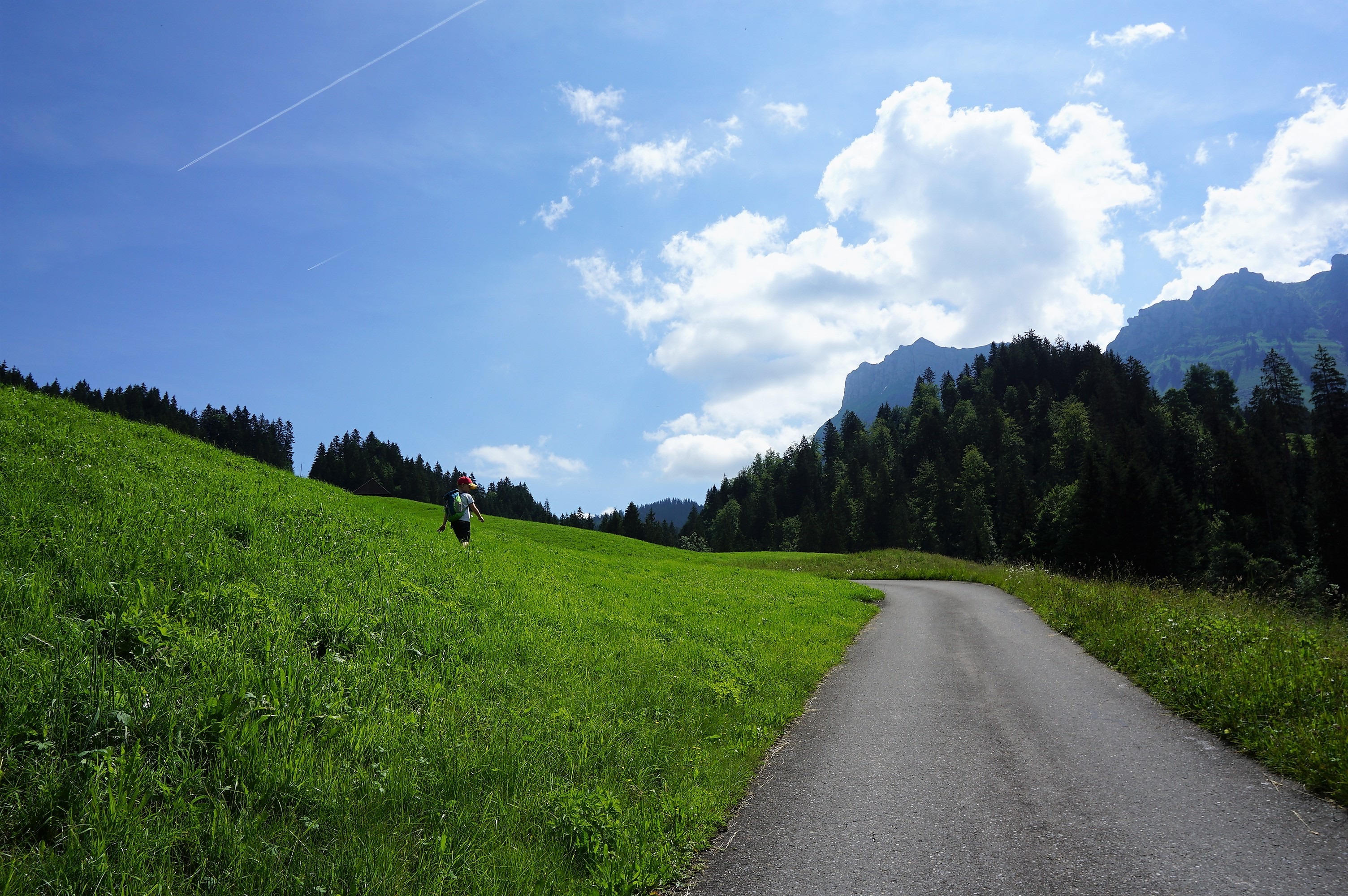
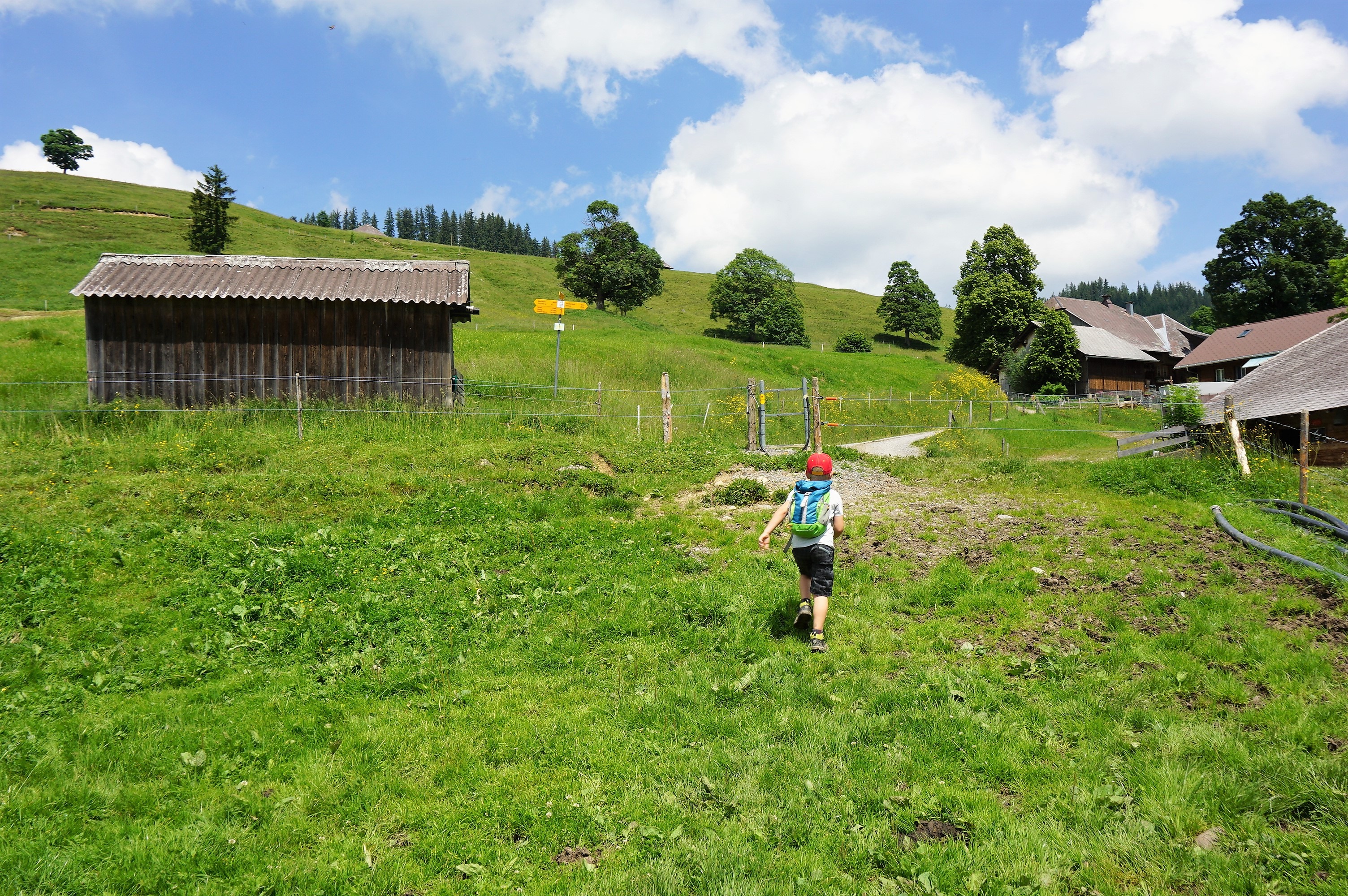
When we returned to the right trail, we continued up the hill to the next farm, and then the road was only downhill, through the woods and pastures (Caution! The trail can be slippery – I slipped my foot on the slippery stone covered with leaves).
We went out into the valley, crossed the main road, and got on the path along the Zulg brook.
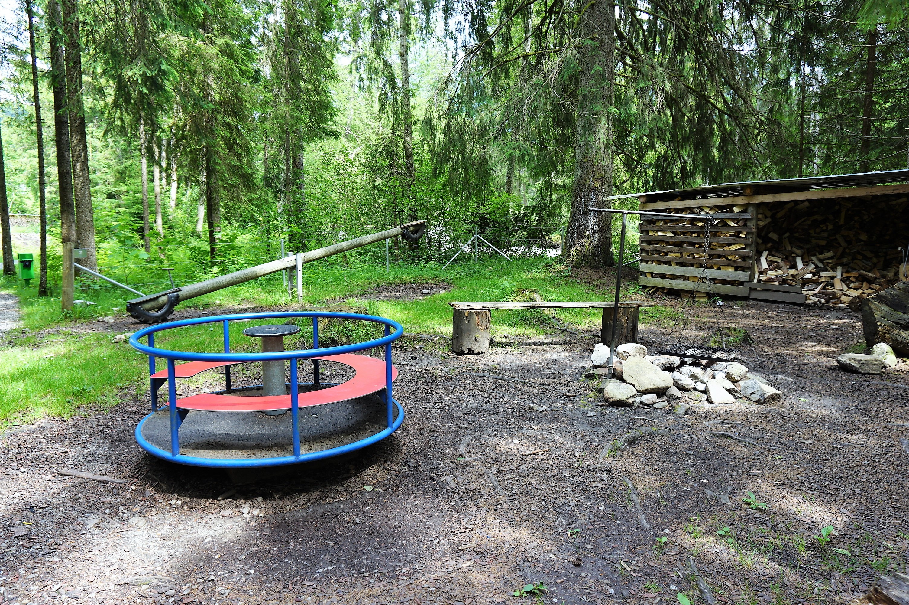
After about fifteen minutes, we reached Brätlistelle – the place we wanted to roast and have our picnic. Again, according to Swiss customs, the place was fully equipped and a children´s playground was a pleasant bonus.
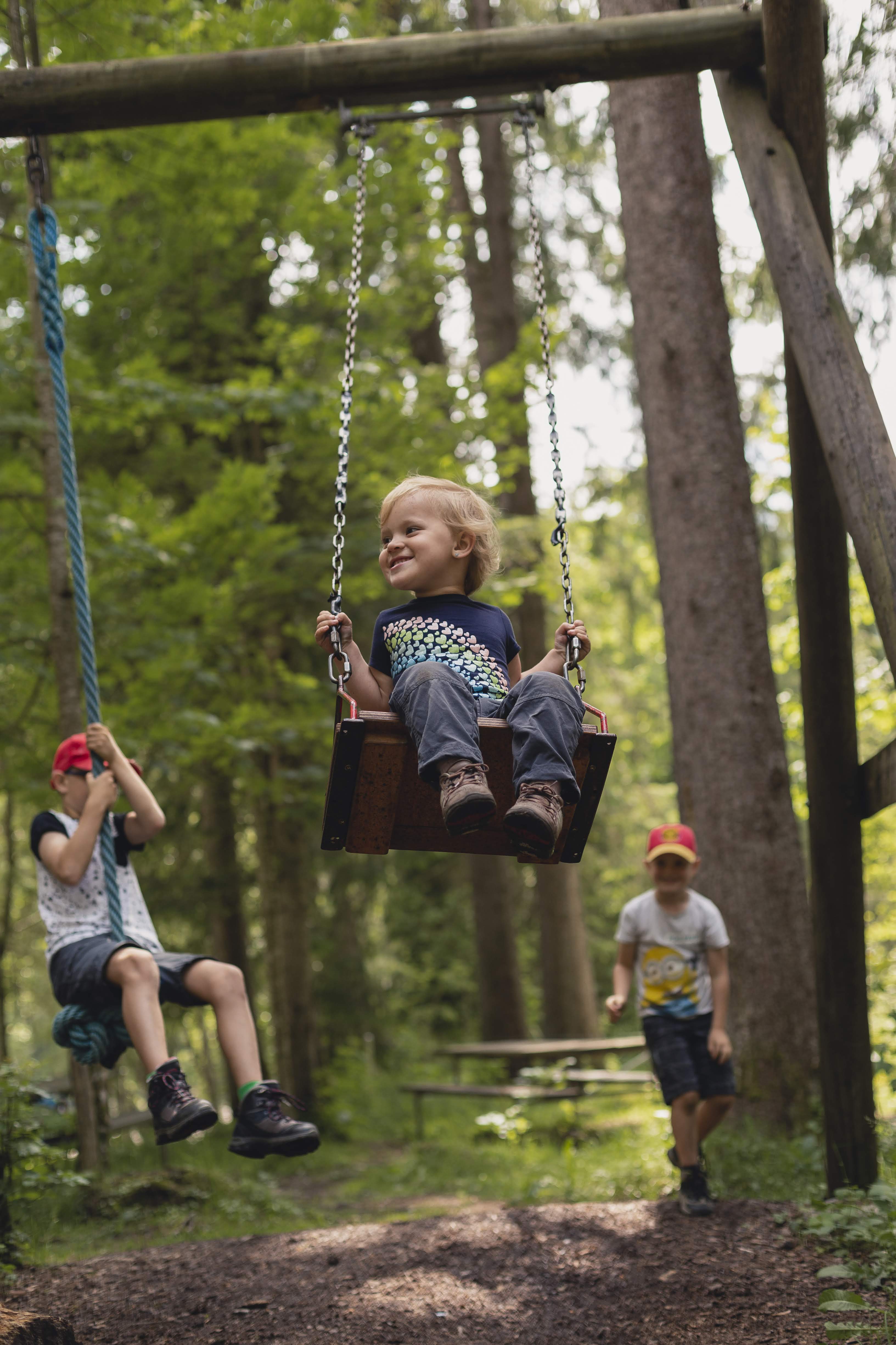
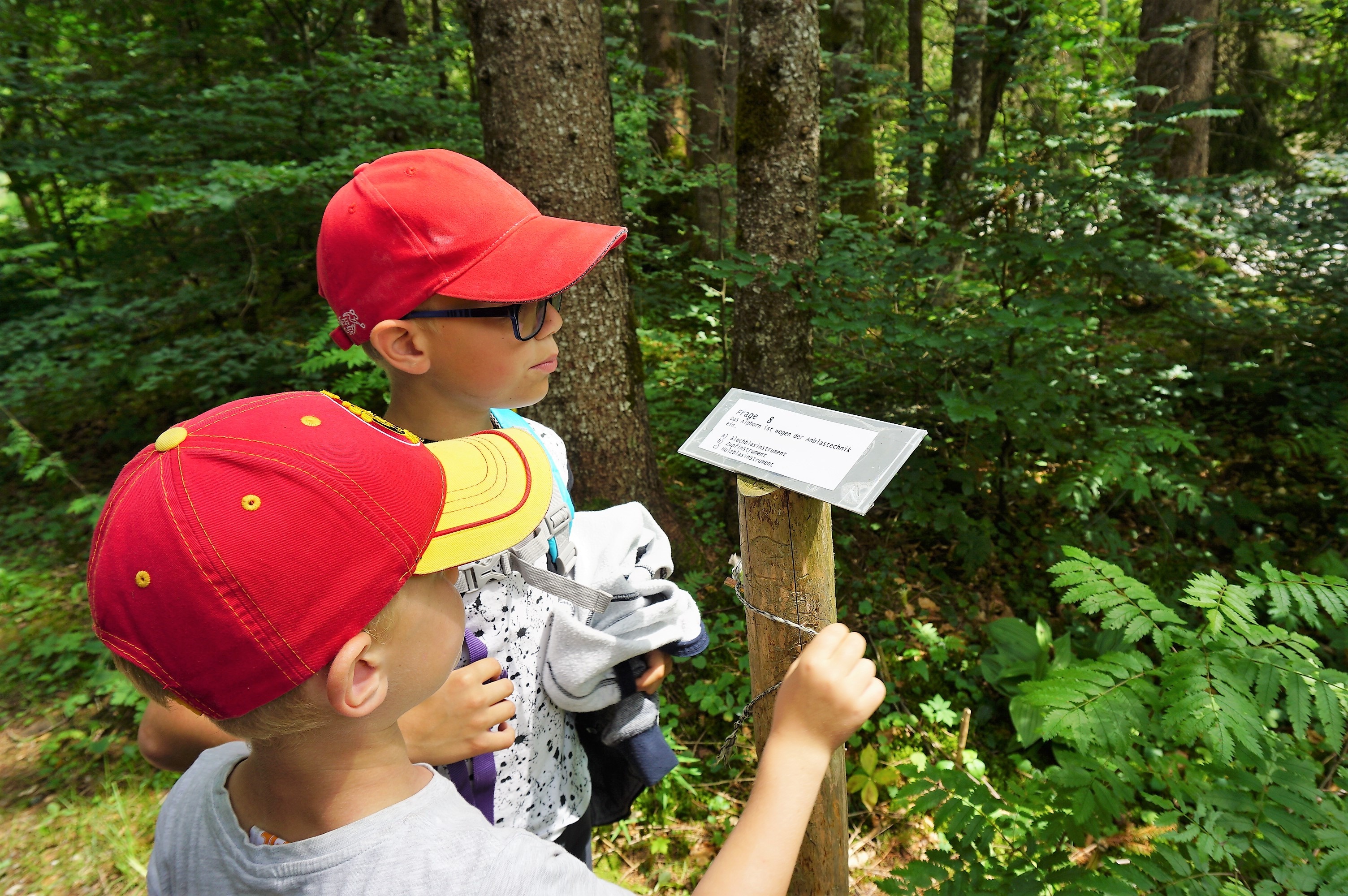
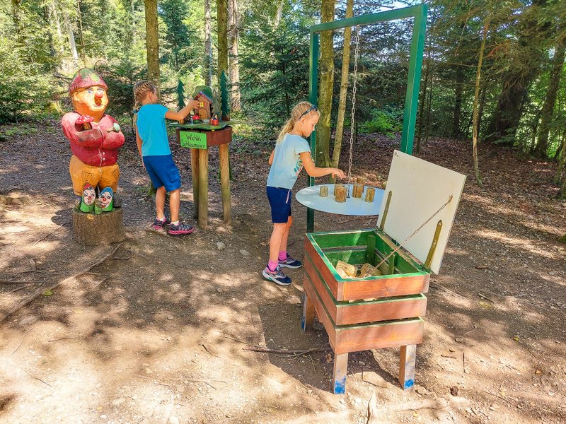
While the sausages are to be roasted, you can send the children to answer difficult interesting questions on the Rätselweg (riddle path). From a wooden box near a fireplace, take a competition ticket and go to the ten posts we passed along the brook to the fireplace. Pencils are available at individual locations, you can choose from 3 answer variants. Then drop the filled card in the wooden box. At the end of the tourist season, three winners will be drawn, winning interesting prizes (vouchers to the shop with local products or to local restaurants).
Or you can go play by the brook. From Brätlistelle it’s back to the car park about 10 minutes by foot.

Our impressions
The total length of the trail is just over 7 km. The “normal mortal” (understand: a proficient hiker without children :)) can handle it in two hours, but we have spent about 4 hours on the trail (plus the time spent by Brätlistelle).
As you could see from photos, the trail is not suitable for strollers. The terrain is quite challenging, especially with regard to the passage of the pastures. And I do not mean just avoiding cowpats. The terrain is distorted by the hooves, and smaller children here can have a problem (on one of the photos you could see how my husband had to carry our little one).
On our trail, we met almost no one. On the one hand, I find it nice that this beautiful place has so far been spared mass tourism. On the other hand, it was a pity that not so many people have any idea about this beautiful place.
As I mentioned earlier, there is a short loop trail leading through the marsh.
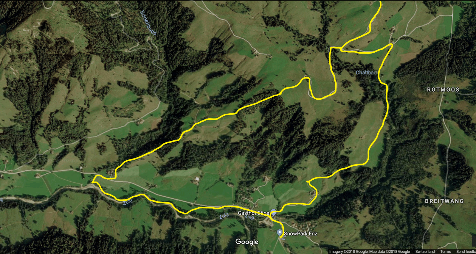
Here is a satellite map to see where we were hiking. And our detour is also marked 🙂
If you liked this post, I’d be happy if you share it with others. Facebook or Pinterest might be a good choice 😉
Source: https://www.outdooractive.com/de/wanderung/berner-oberland/auf-der-sonnenseite-der-honegg/8483782/


3 Comments. Leave new
Just discovered your Blog thx to Post on International Mums in Switz group. Really impressed. Lived her 19 years with CH hubby (who alas doesnt hike as was hiked to the ground as a child😔) Living in Bernese Oberland I know lots of the places by name at least but do wish I’d done more of these fun outings with my now 18 and 15 year olds… Still I’d like to continue following you, some great ideas for both visiting friemds and me on a day off, not to mention my passengers (Ive recently become a Swiis train conductor👩✈️) thx so much 🙏
Thanks Sally for your nice comment! And congratulations to your new job! It´s absolutely amazing! 🙂
[…] totally surprised at how interesting this activity for our boys was when we set out on a hike in Eriz with friends who are fans of cache hunting. Since then, boys have been carrying in there backpacks […]