


Hiking in Emmental: from Lützelflüh over Oberried and back
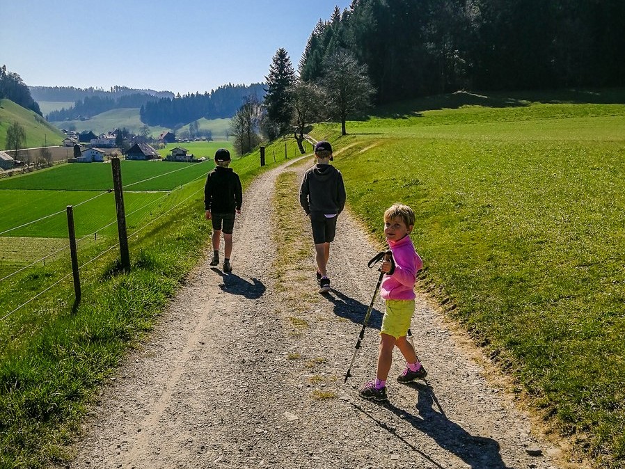
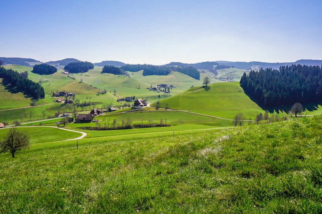
Every time we go to Emmental, it seems to me that time runs differently here. Sometimes maybe more like he stopped here completely. Last Easter, this feeling was even more intense. We all know why. But on the other hand – the view of the gently rolling Emmental hills and the Alps in the distance are extremely soul-healing. And that’s exactly what we needed last year when we went on this hike. Because we were supposed to be somewhere else that day and we were sad. But as I say, Emmental can heal the soul, so here we have been able to forget about the omnipresent pandemic for a while.
Arrival
The route starts in the village of Lützelflüh, which is located less than 30 km northeast of Bern. It is easily accessible by train – from Bern via Burgdorf line S4 / S44
Trail
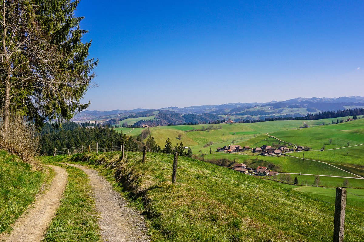
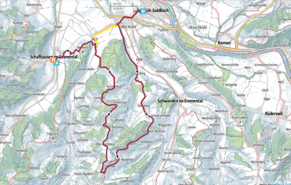
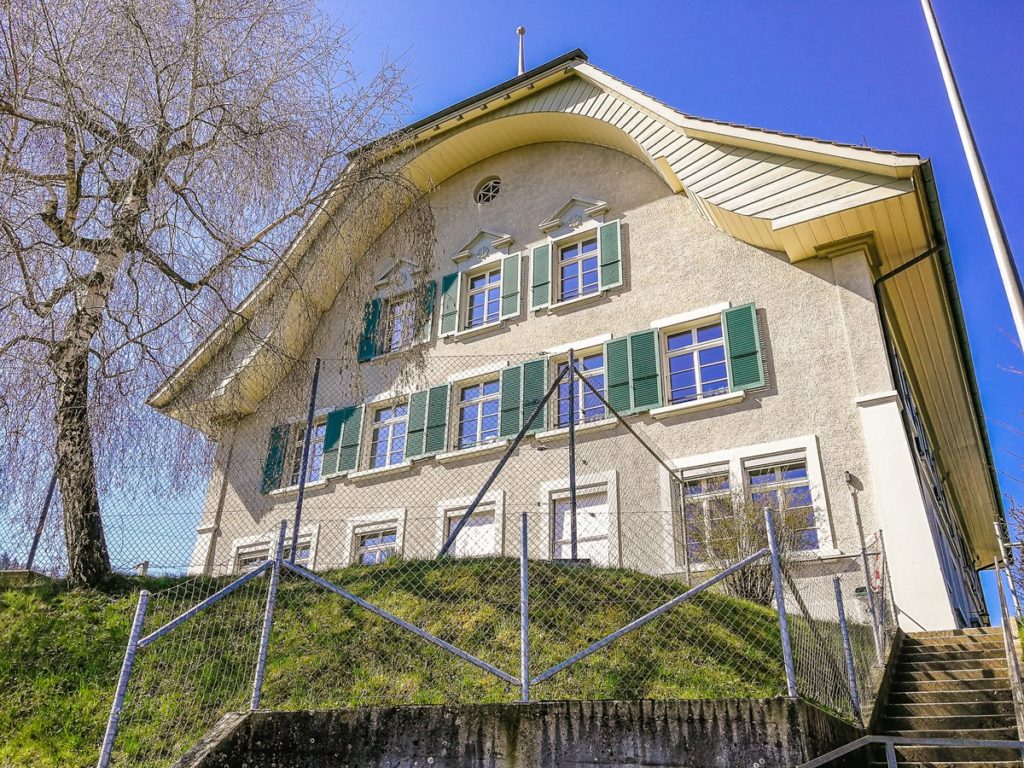
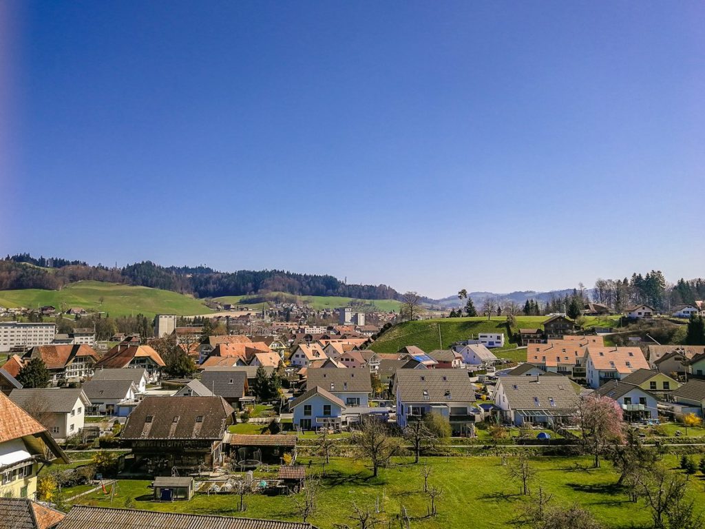
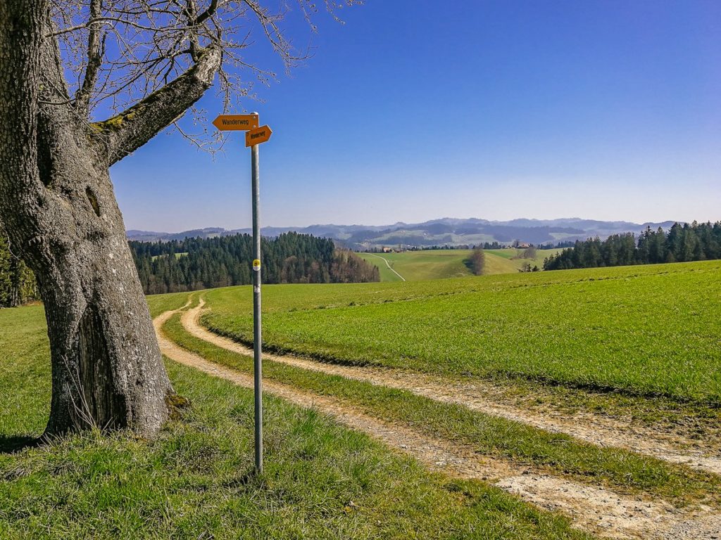
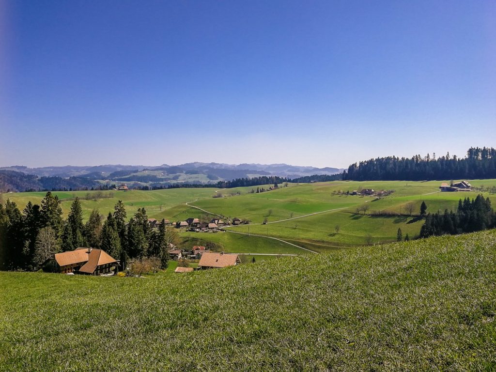
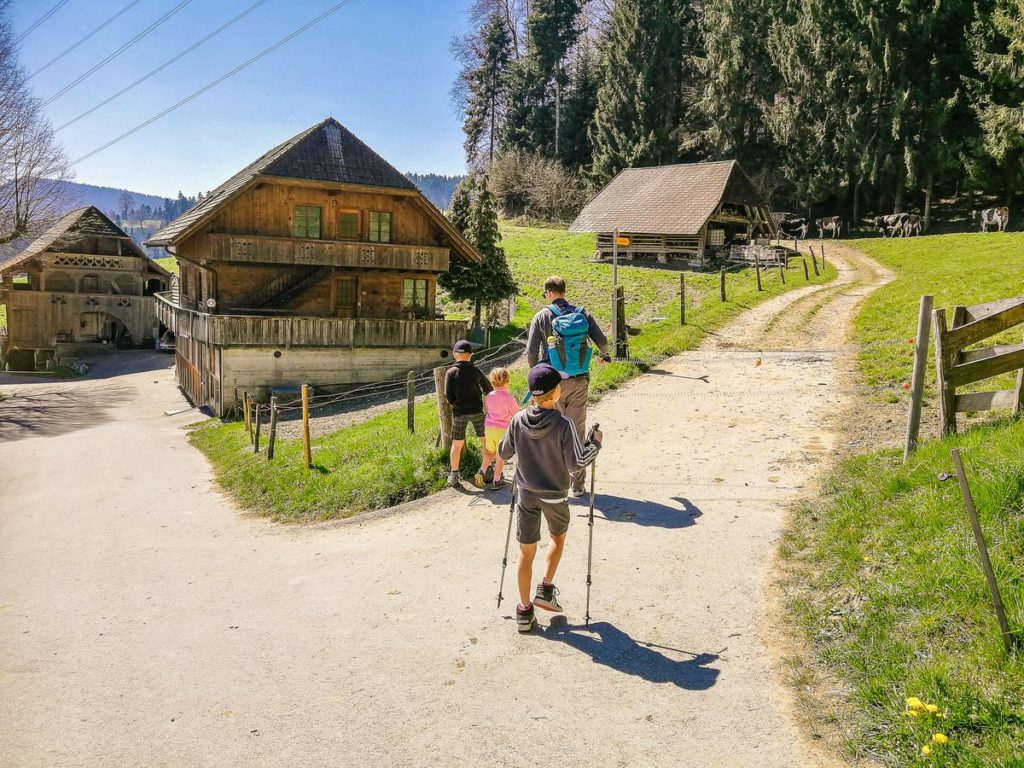
For this route, we were inspired by the Tourenplaner website from Wandermagazin SCHWEIZ. We just slightly modified it so that it was a loop trail and we did not have to use public transport (see photo). We left the car parked at the train station and set off in the direction of the signs towards the school in Goldbach. In front of the building, we turned left towards the forest. On the left, we had a beautiful view of Lützelflüh and ahead towards the wide Emmental valley.
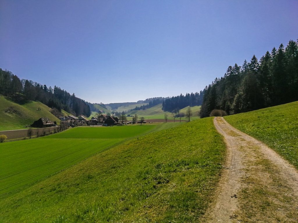
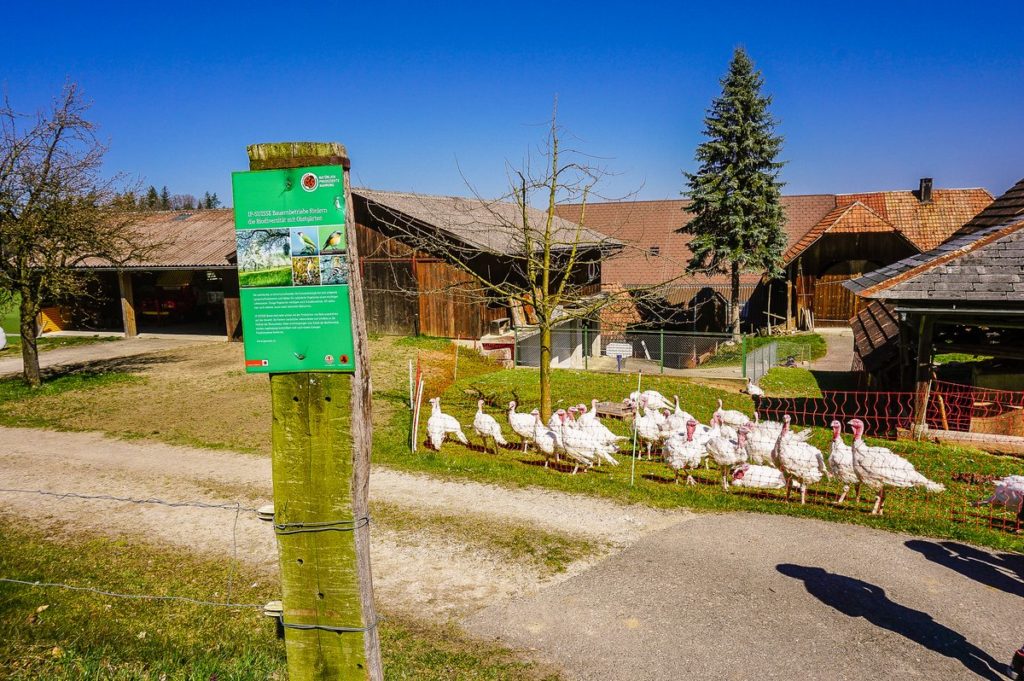
At the Öli signpost, we turned right in the direction of Aspiegg and Hammegg. After about a kilometer we reached the farm Otzenberg.
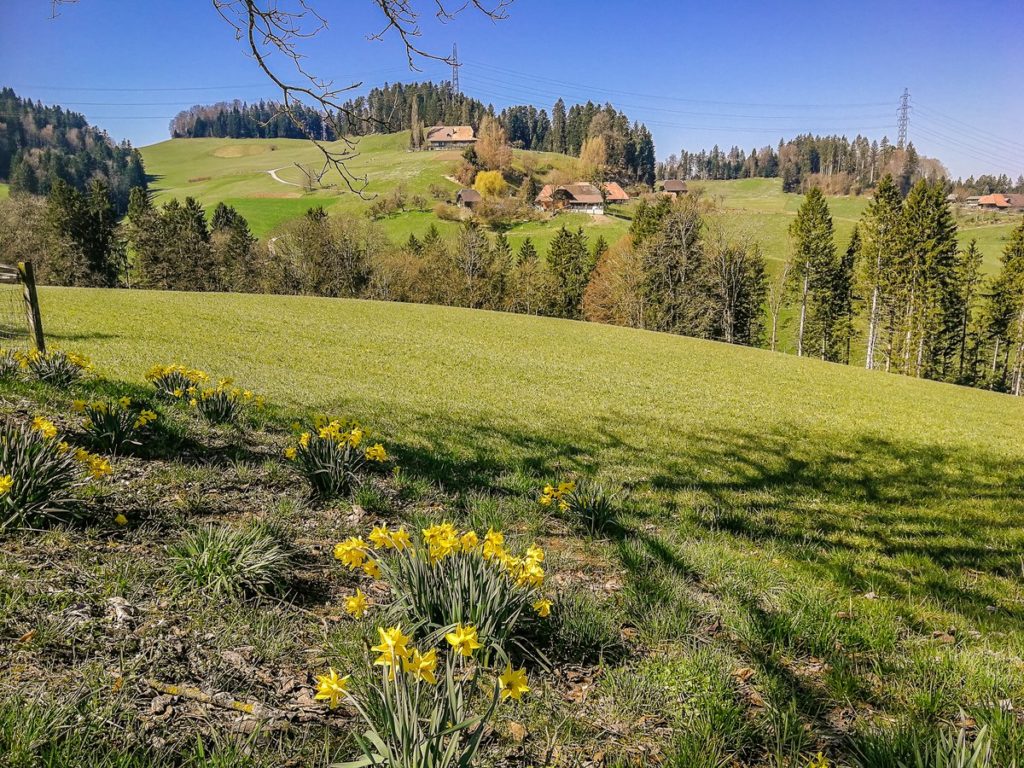
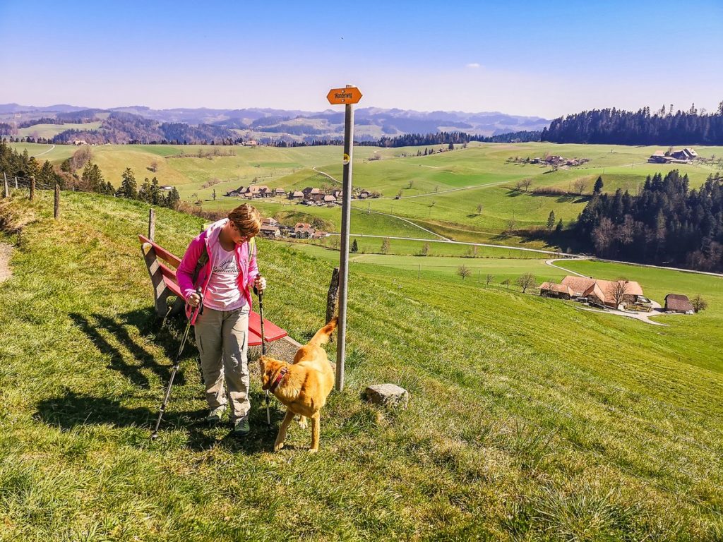
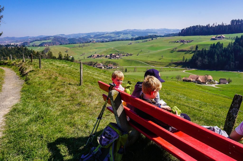
After another few tens of meters of gentle ascent along a dirt road, we came to a bench with a beautiful view of the surroundings.
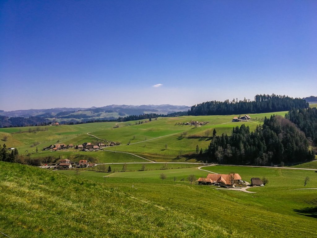
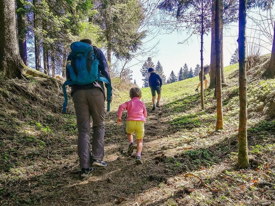
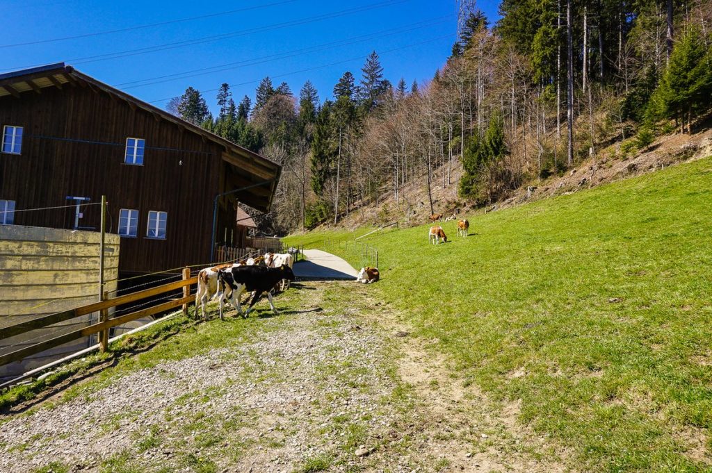
Probably the biggest thrill of our route came at the Saarbaum farm, where we had to walk across the pasture part of the way and experience “close encounters of the third kind”. Although the Emmental cows are peaceful at first glance, it is still appropriate to be careful not to make any abrupt movements.
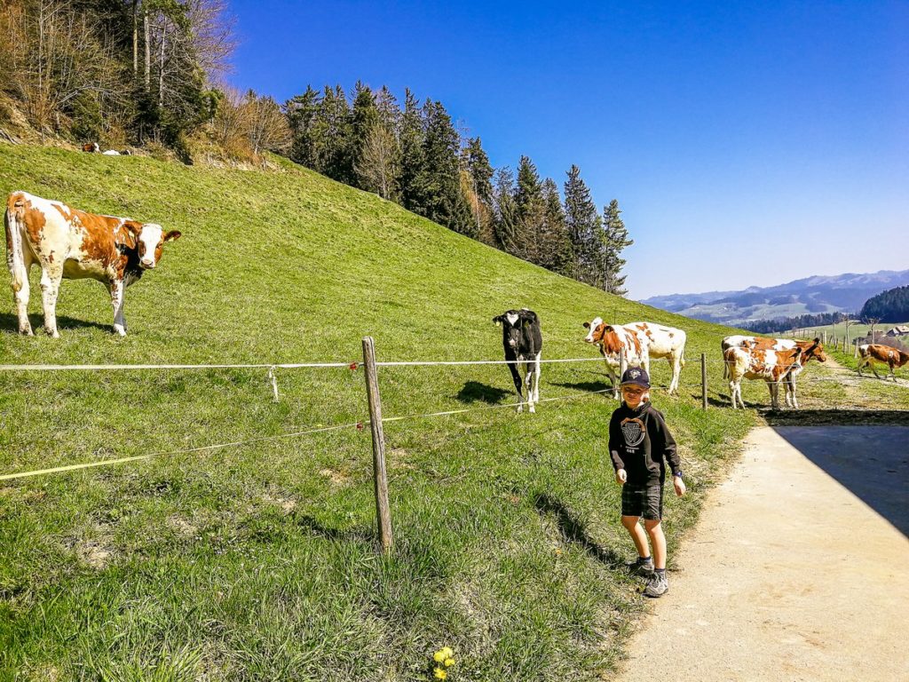
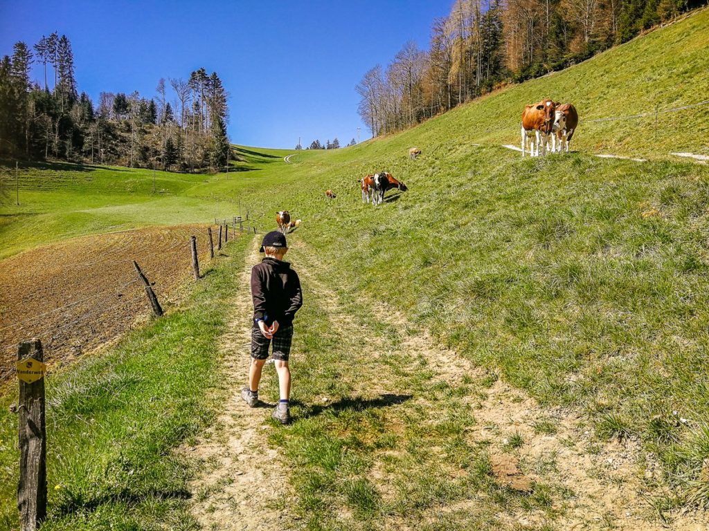
When you go to the cow opposite 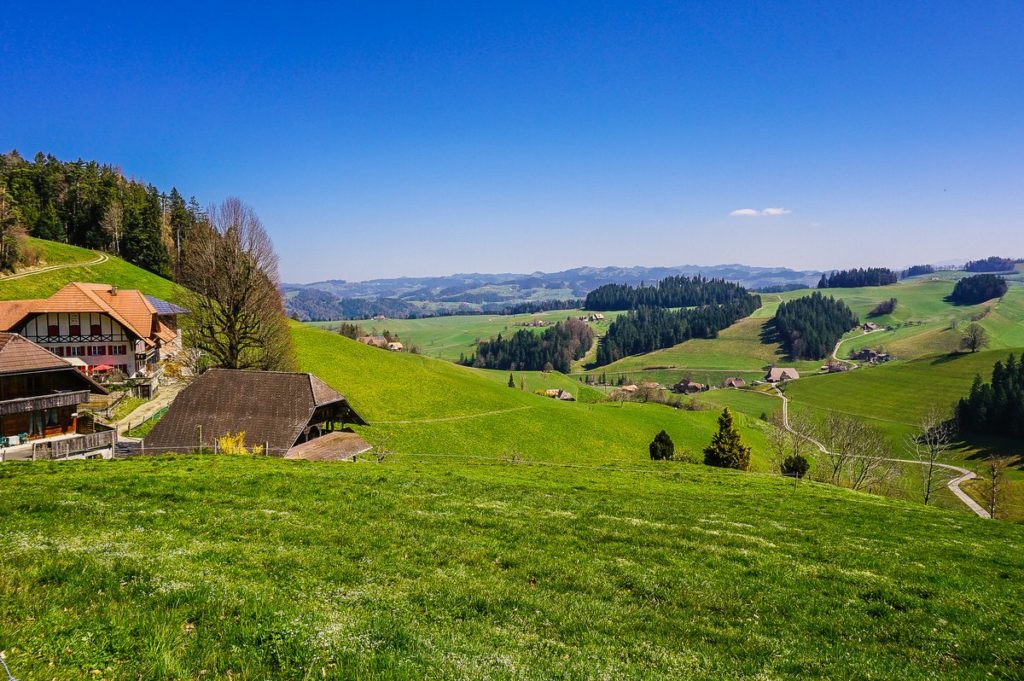
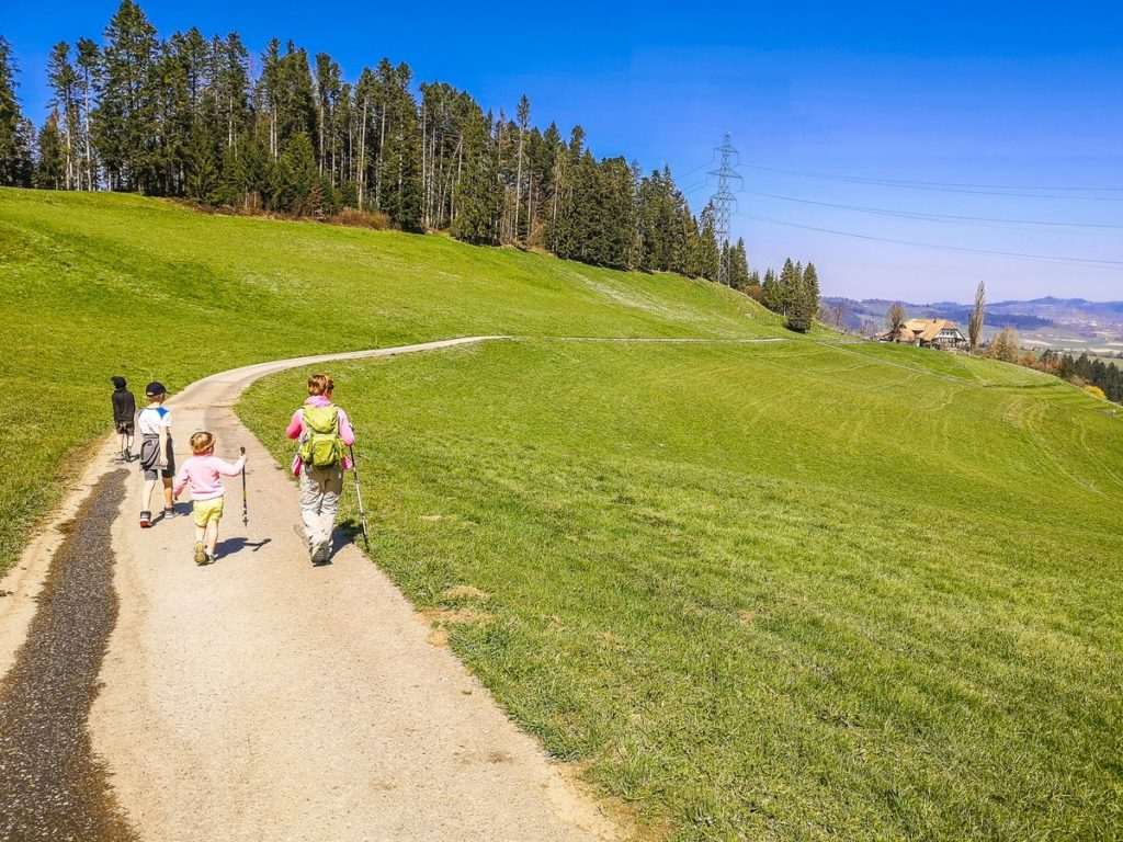
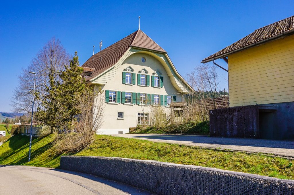
Behind the Oberried farmhouses, the path turns right and you are in the middle of the route. The last slight ascent awaits you, and then the road leads down the hill for the most part along a paved road to the valley. The last section of the route leads along Goldbachstrasse, which is a road for cars (fortunately with little traffic). After that, you get back to the school in Goldbach and from there back to the station.
Summary
- The route is 10 kilometers long.
- For the most part, it leads through field or paved roads, sometimes through pastures, and about 200 meters through the forest. However, this part can be bypassed on an asphalt road leading in parallel. I dare say that the route is doable with a good terrain stroller, if you don’t mind pushing it a third of the route uphill (elevation gain about 240 meters).


I am a member of


Map of activites

Podcast
You may be also interested in
Social Media
Categories
Subscribe