


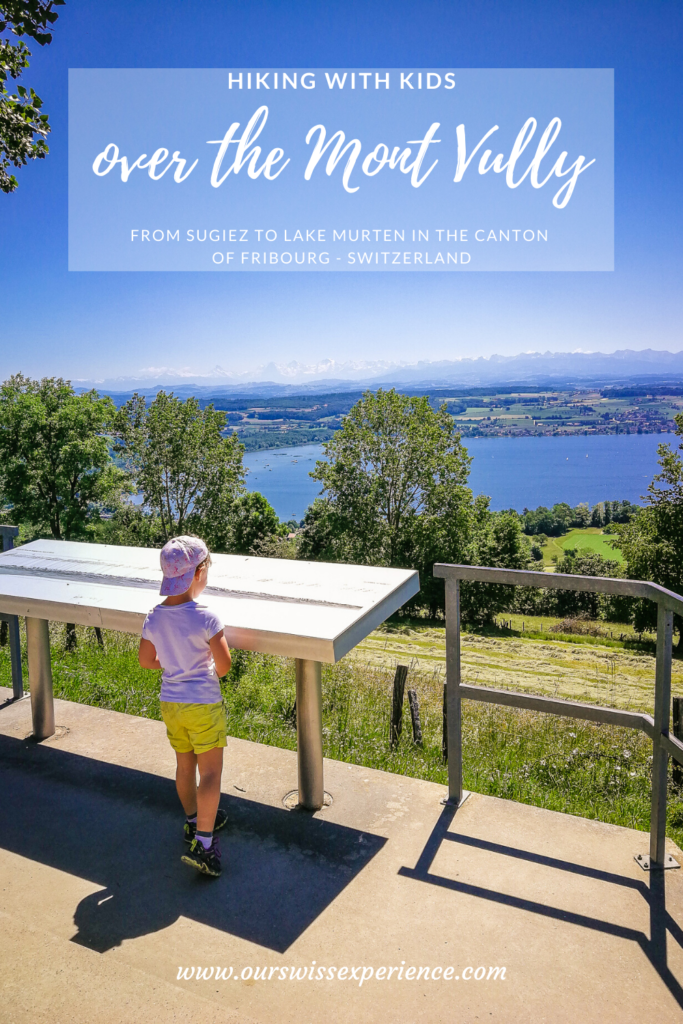
Hiking with kids: over the Mont Vully to Lake Murten
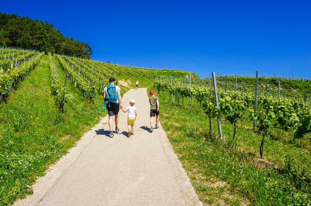
On the day we set off on this ten-kilometer hike, we were supposed to be on an Ascension weekend in Italy. Same as last year. But given the current situation, the Cinque Terre discovery did not take place. But the hiking route compensated it a lot because we haven’t experienced such a diverse trip for a long time – another wine nature trail, then a hike to the hill, which separates two lakes, from the Celtic oppidum we got straight to the military fortifications in the rocks and finally we were lying around on the grass beach at Lake Murten.
Starting point- Sugiez
The starting point is the town of Sugiez, which is located about 35 kilometers west of Bern. From Bern, take the A1 motorway and take exit 29 in the direction of Murten. Parking is available either at Sugiez Train Station or at the river dock.
As the area around Lake Murten is a popular place for cyclists, leave early, as the car park may soon be occupied.
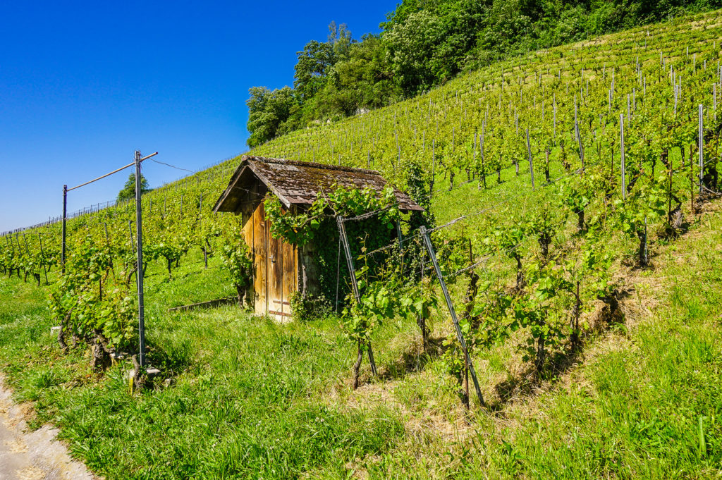
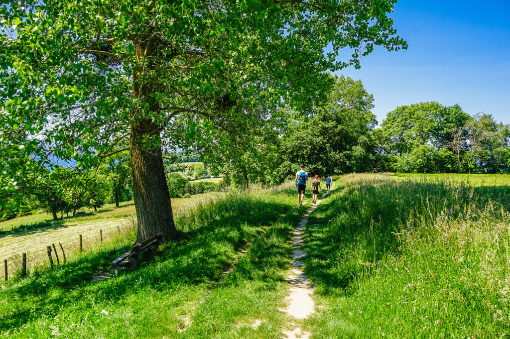
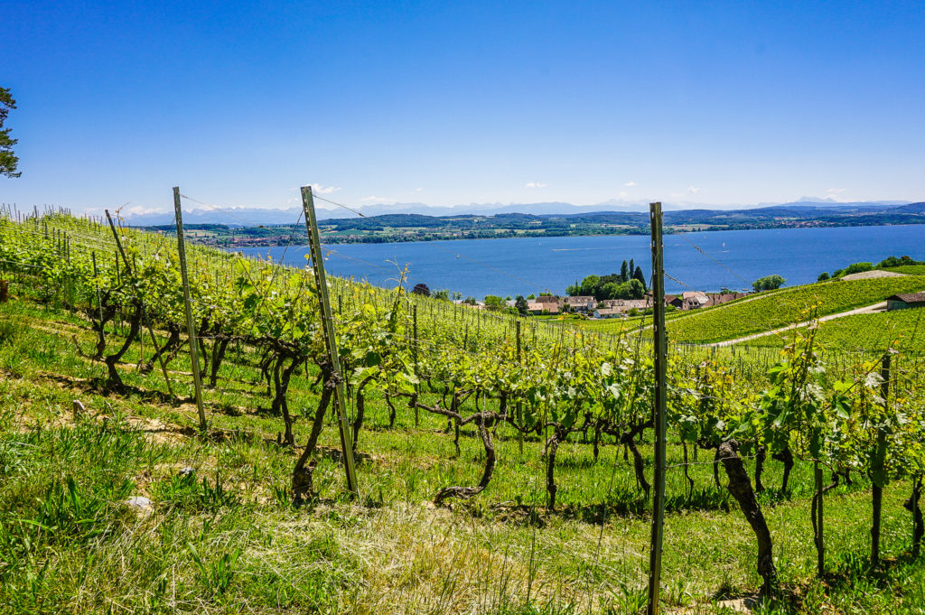
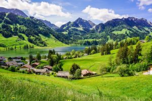
Through the vineyards to Mont Vully
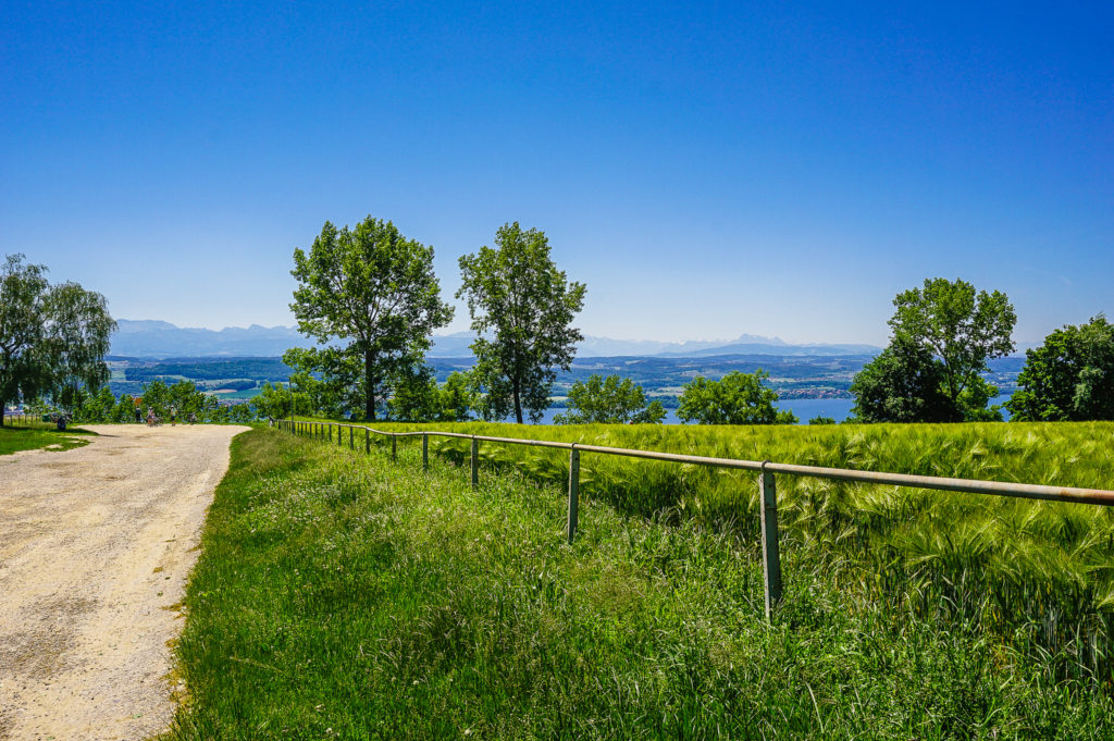
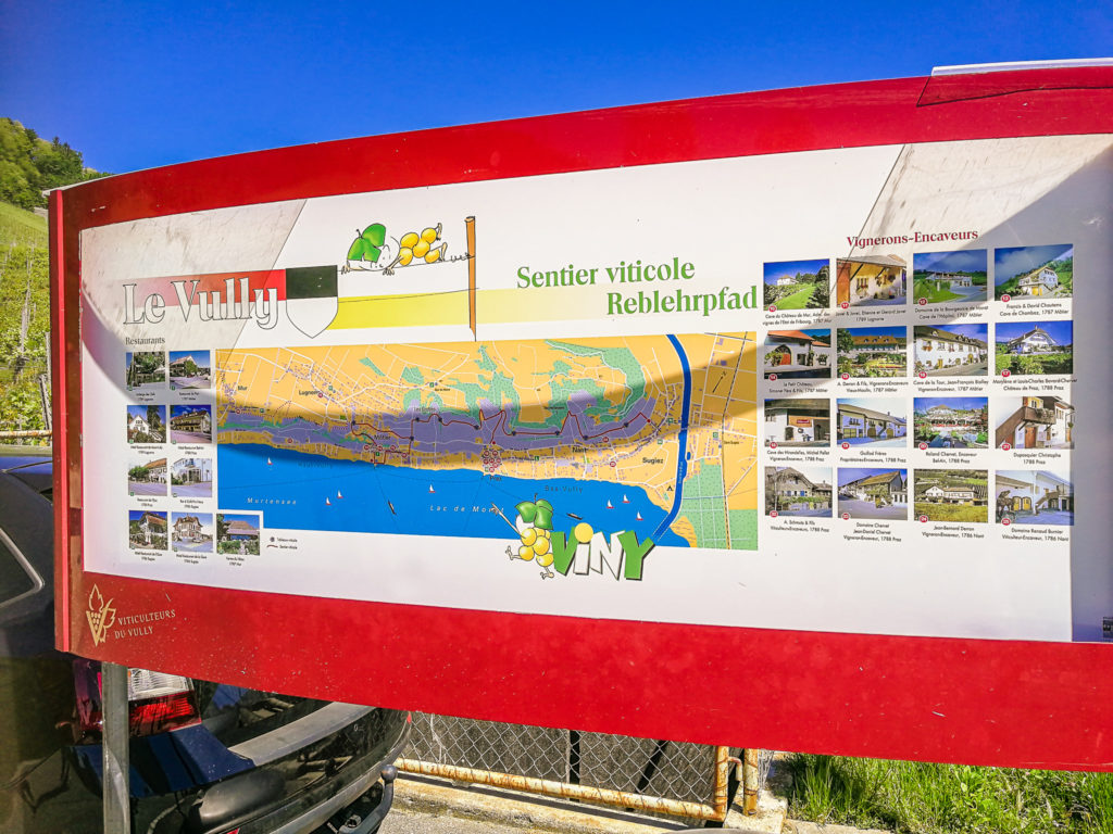
From the station, we followed the signs for Mont Vully, a hilly landscape between Lake Murten and Lake Neuchâtel. The Sentier Viticole / Reblehrpfad wine trail starts right at the foot of the hill.
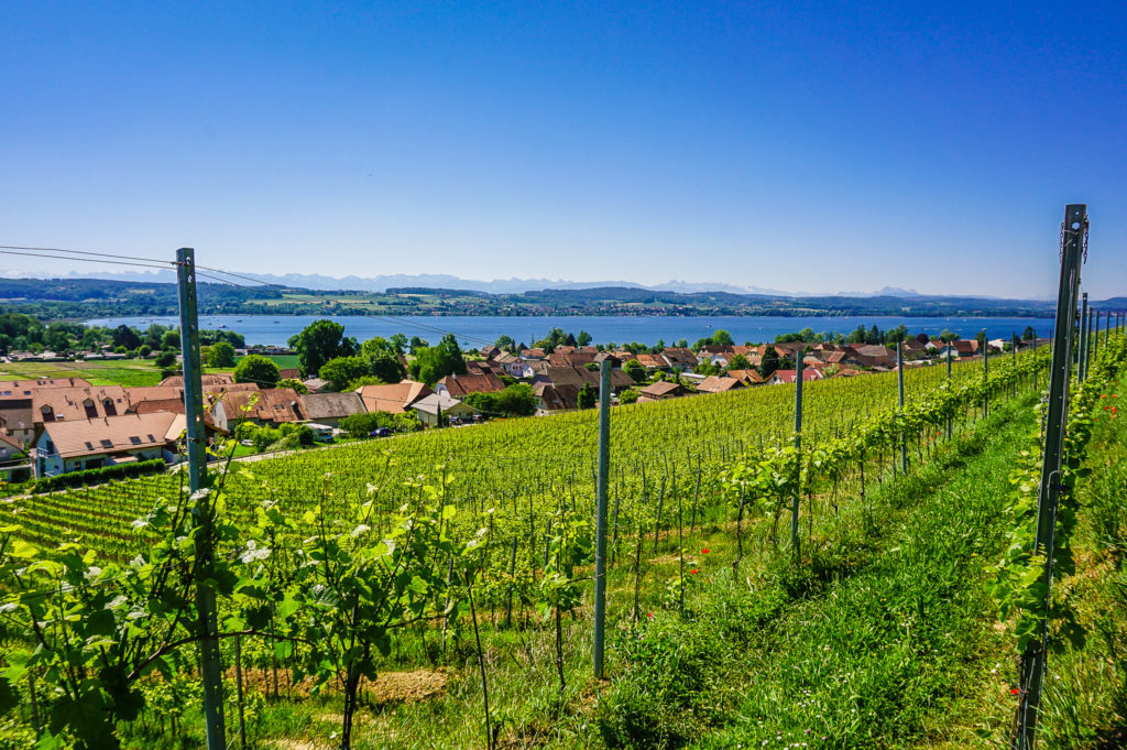
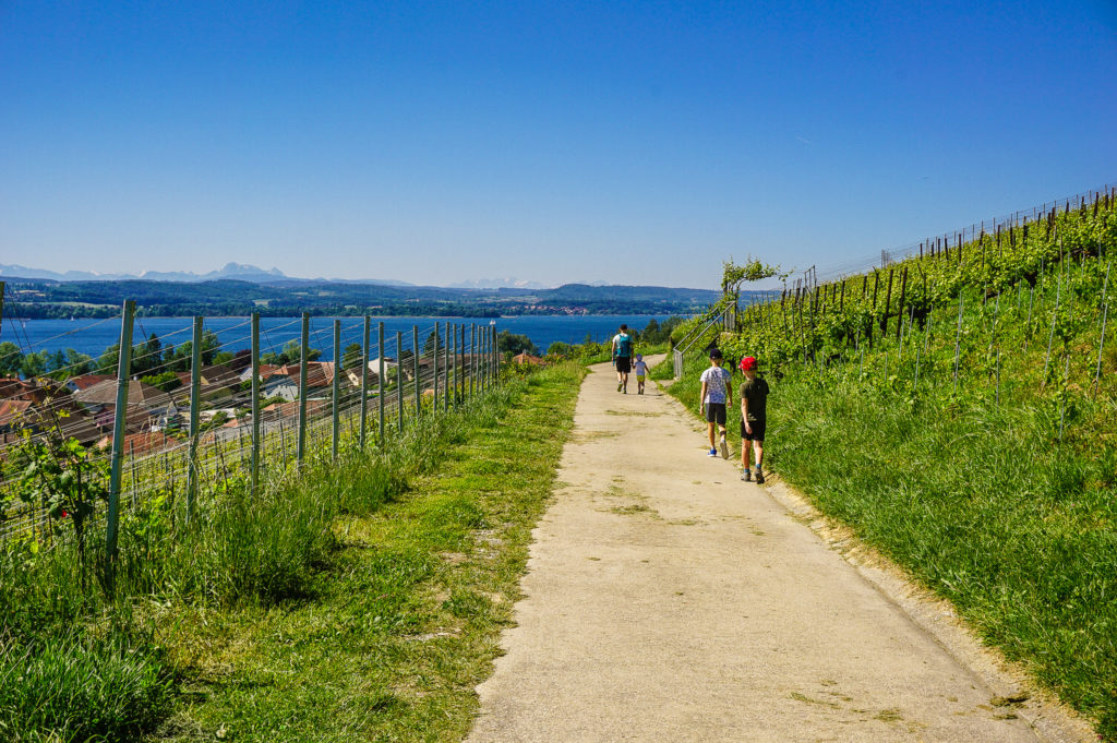
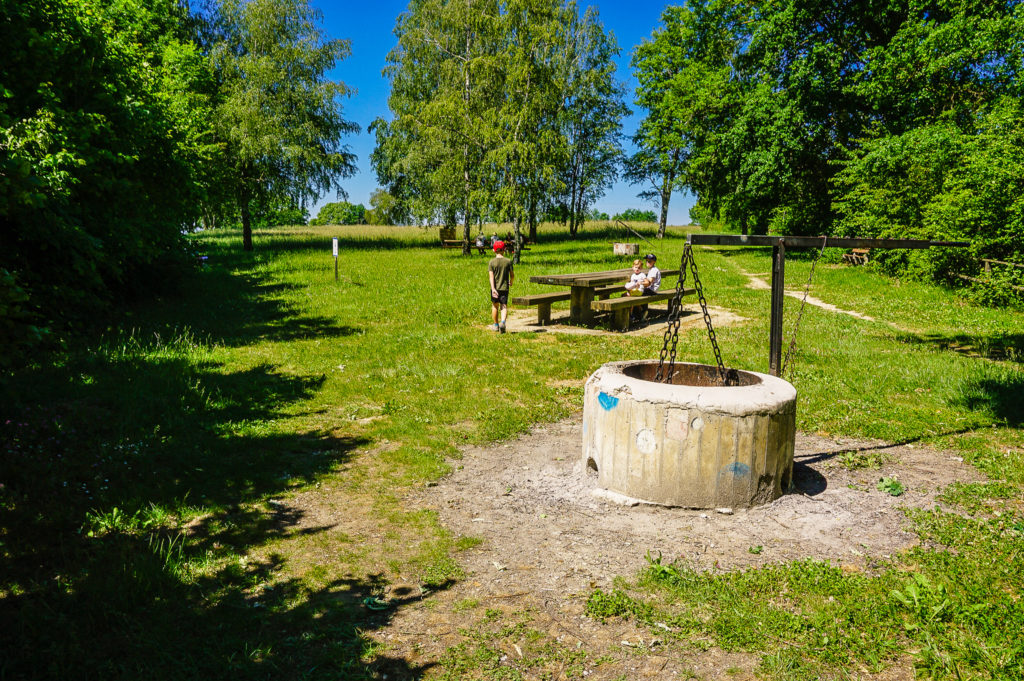
After about a kilometer you will come across a signpost that shows to the right – climbing towards the forest. You must now go in that direction. After a hot vineyard, the forest offers a welcome shade, even as you climb the hill. About the third kilometer of the route, just before the top of Mont Vully, there is a place for a picnic in the clearing. Its only drawback is the lack of shadow.
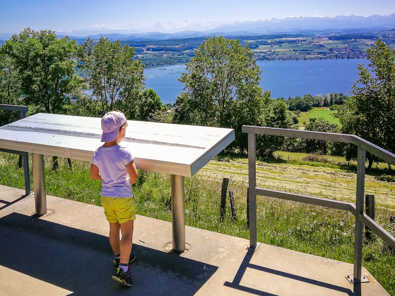
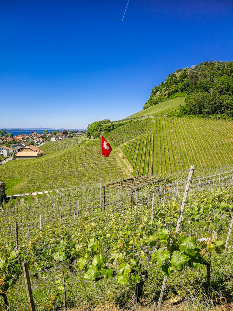
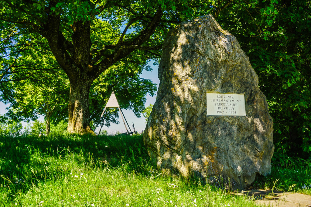
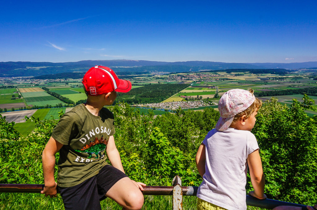
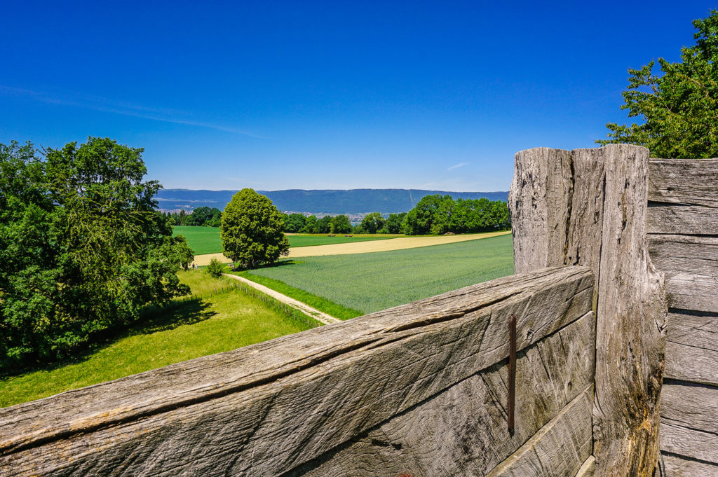
Mont Vully
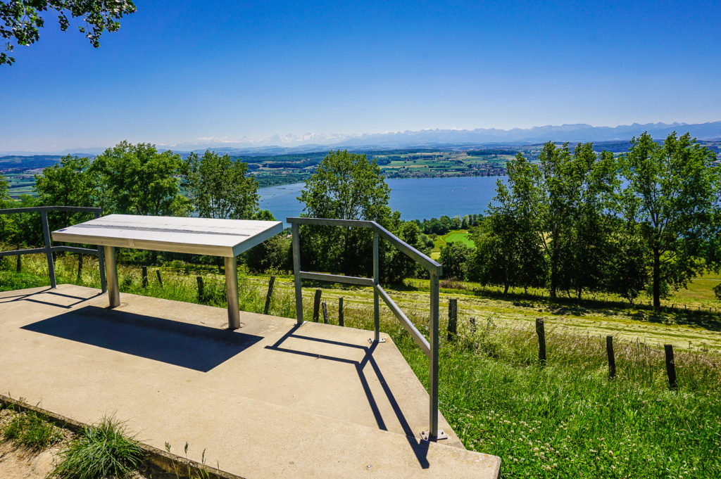
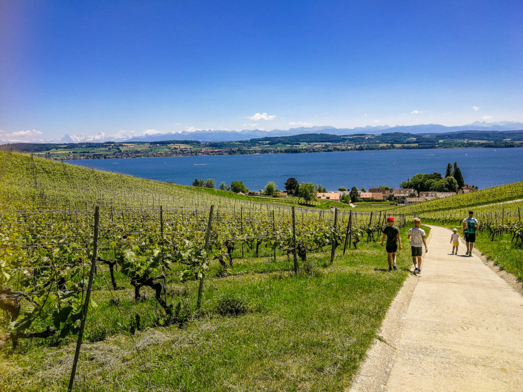
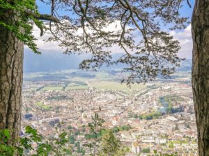
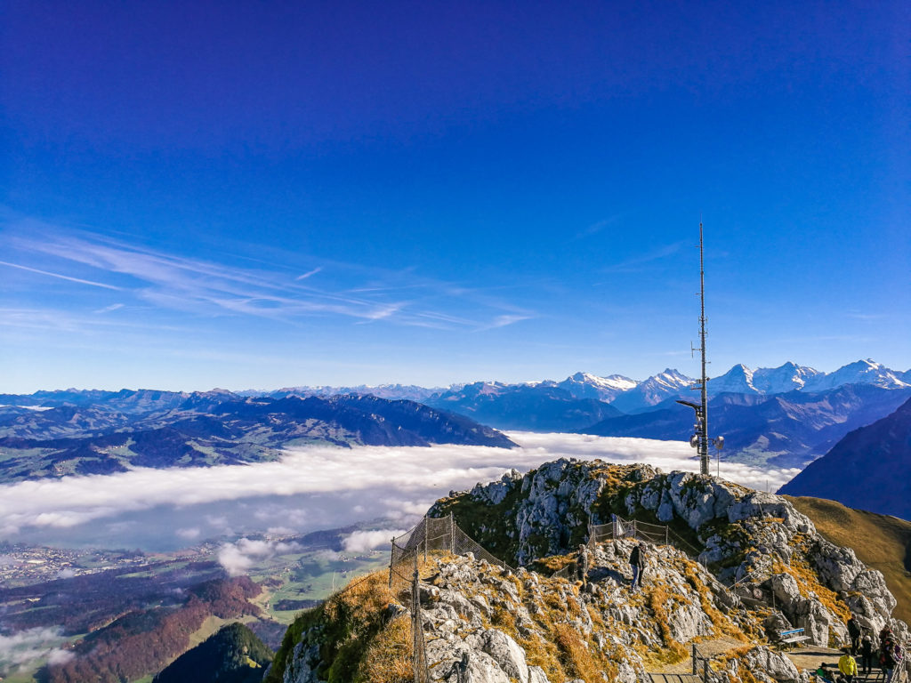
Although the “mountain” of Vully is not a high peak (653 m.a.s.l.), it does not detract from her beauty. Because there is a really nice view from here. On the one hand to the picturesque flat landscape between Lake Biel and Neuchâtel and the Jura Mountains, and on the other hand to Lake Murten and the Alps.
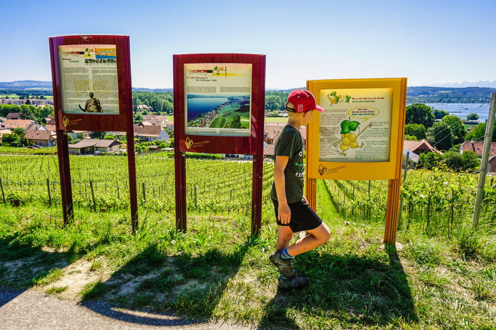
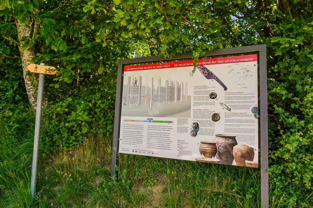
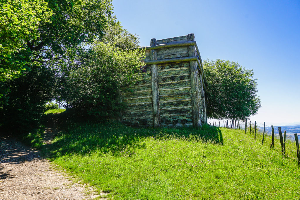
Celtic oppidum
In less than half a kilometer you will come to a Celtic town, built by the Celtic tribe of Helvets.
Historical note (those who do not love history can skip the following paragraphs): The Helvets, from whom the Latin name of Switzerland is derived, were a Celtic tribe that inhabited the territory of present-day western Switzerland around the 4th century BC, and the first written mentions of them date back to the 2nd century BC.¹
Oppidum, from which the remains of a 600-meter-long wall can be seen, dates back to 124 BC. Oppidum was destroyed by fire by the Celts themselves in 58 BC, when they wanted to migrate to Gaul to avoid the German invasion. However, Julius Caesar himself prevented them from leaving the territory – he sent the Helvetians back and settled them as “buffers” under the control of the Roman army.²
A significant archaeological excavation was carried out for the Expo 02 national exhibition and part of one of the gates was reconstructed as it would have been original.³
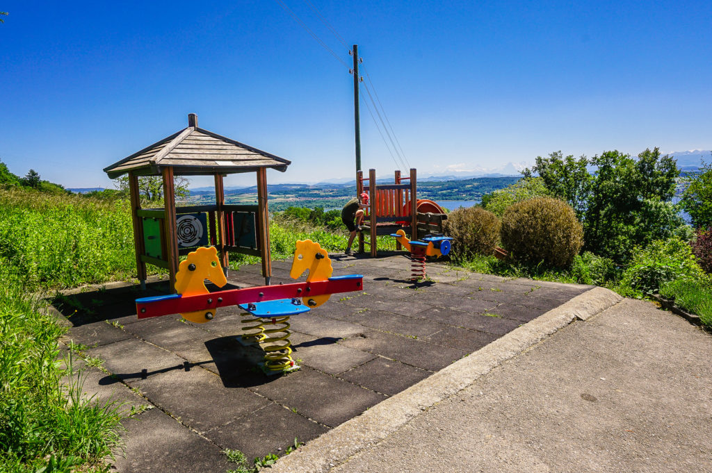
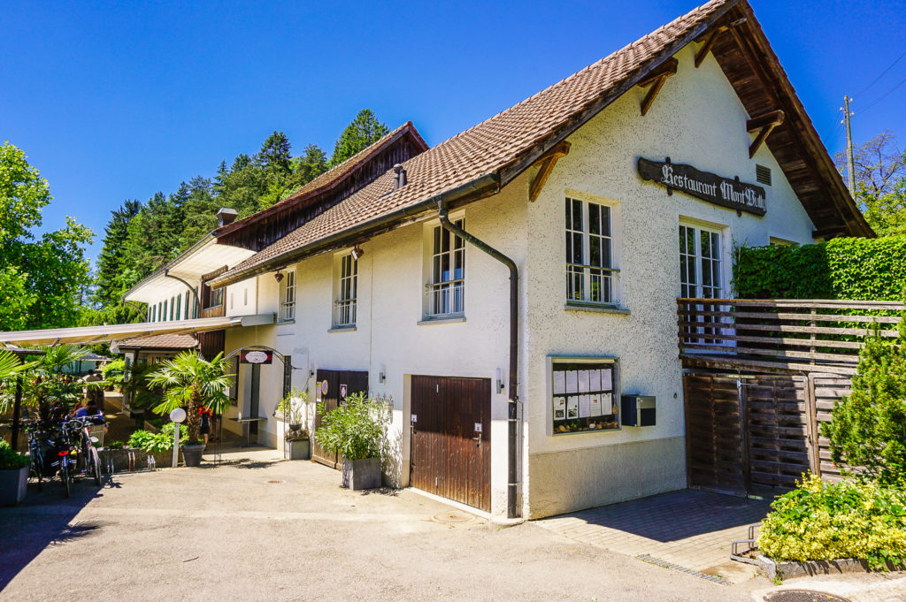
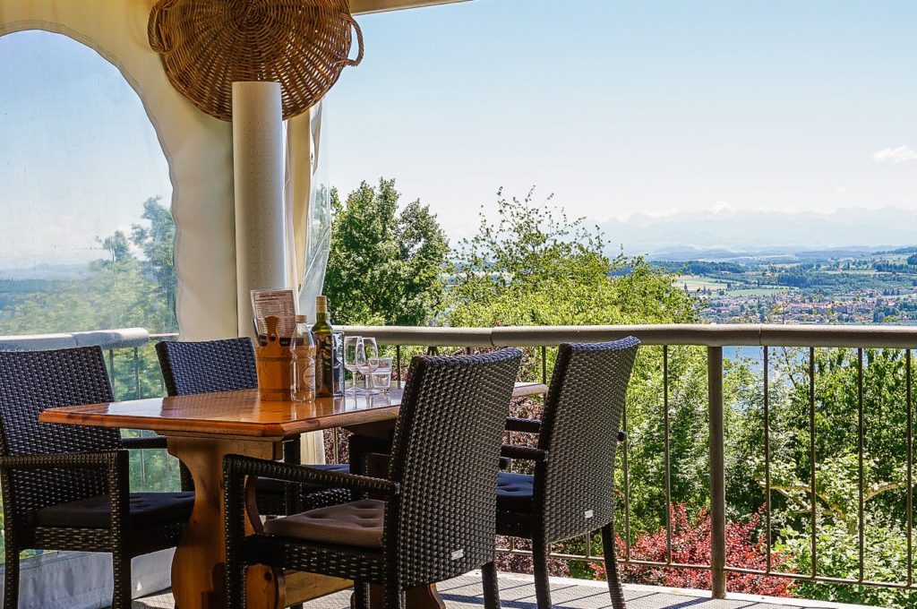
Restaurant Mont Vully
A pleasant stop on the route is the Restaurant Mont Vully with a pleasant sitting on the terrace with a nice view and a playground.
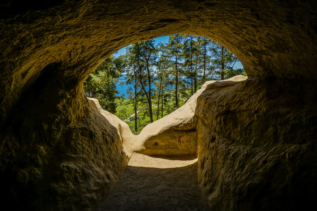
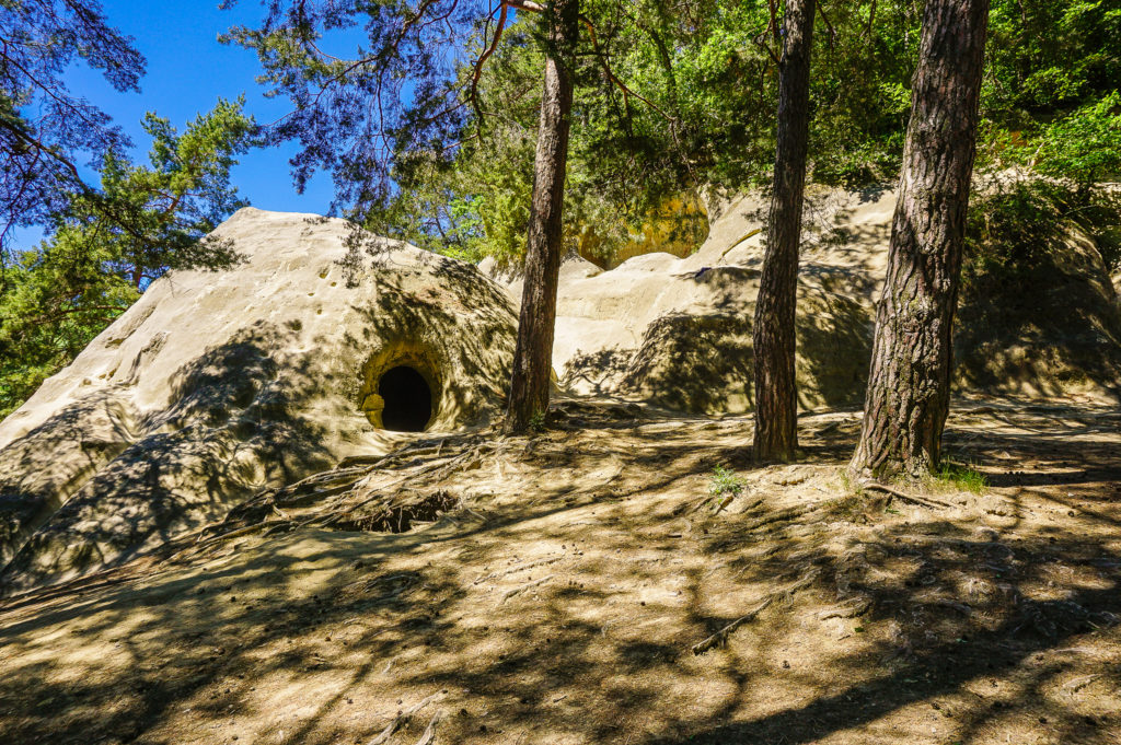
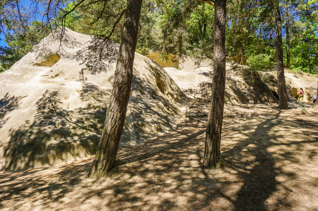
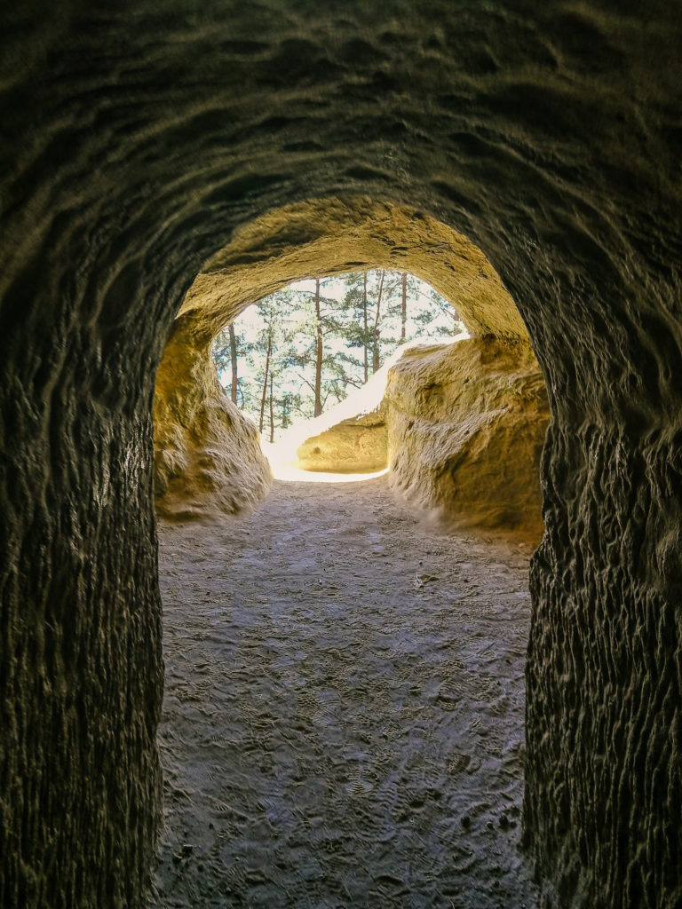
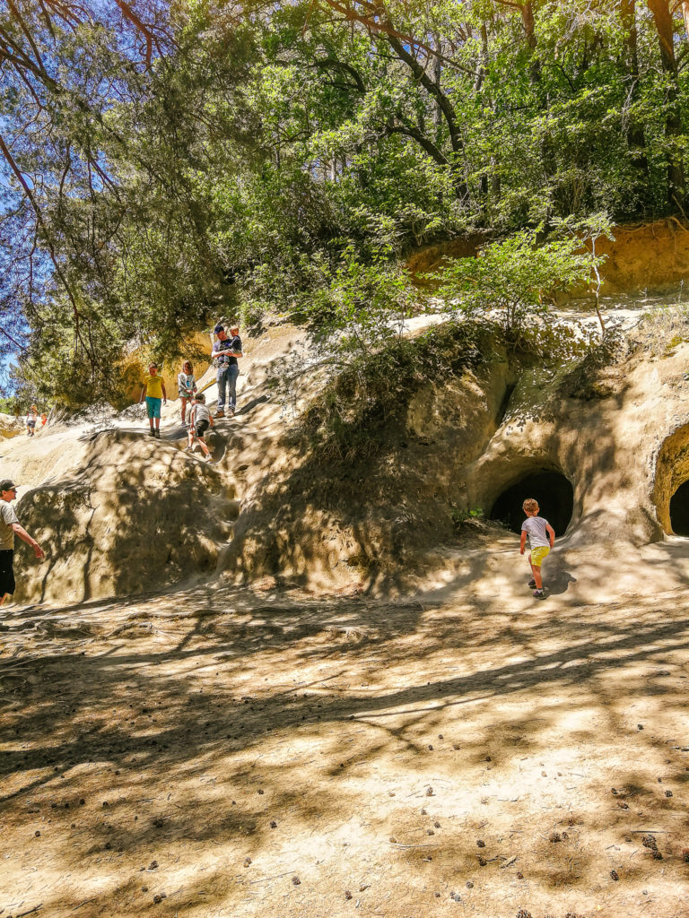
Grottes de Lamberta caves
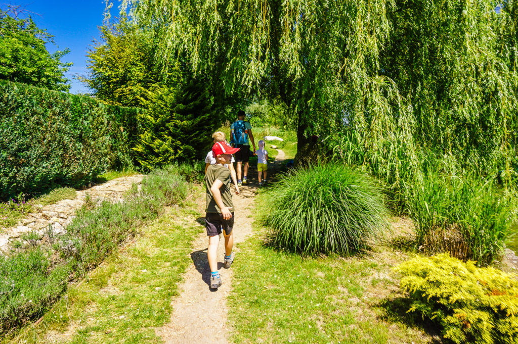
Stairs lead through the forest from the restaurant and you will soon reach the Grottes de Lamberta Caves. This is a system of tunnels excavated in the sandstone rock, which served as part of the “Murten fortifications” from 1916 to 1917 to defend the Swiss plateau (Mittelland). According to the information board, there were positions for machine guns, observation posts, connecting corridors, and shelters for 60 seated and 48 lying soldiers. Today, the tunnels are a great playground for children to climb in the dark corridors. And in the time being, parents can prepare something good on the grills in the woods.
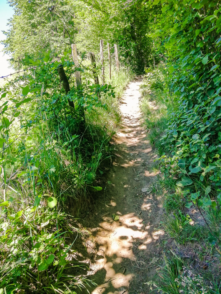
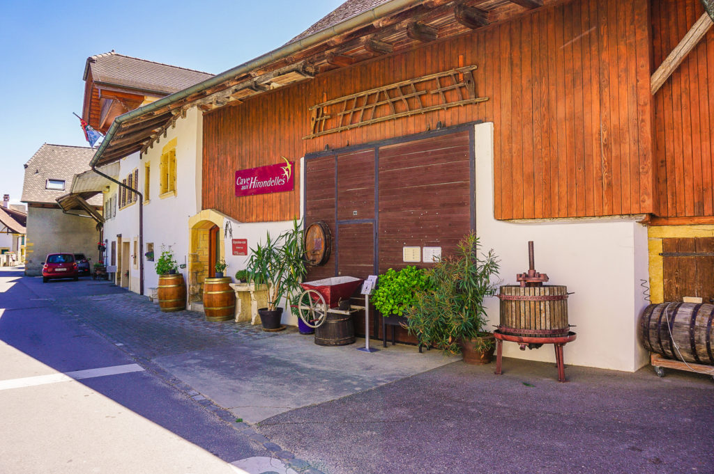
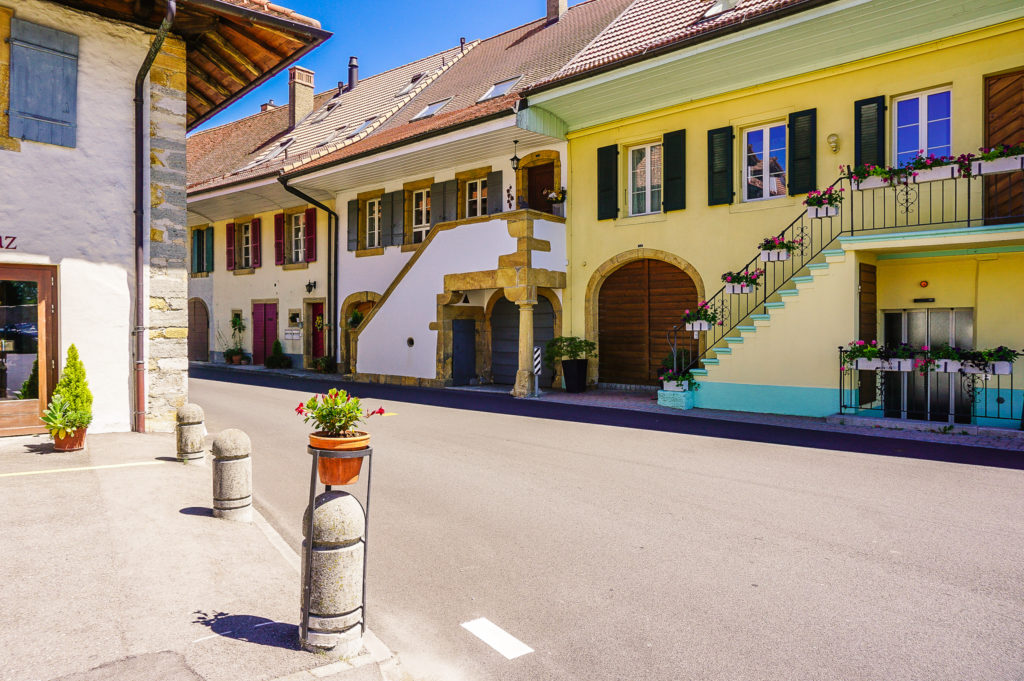
When we came out of the pine grove, we joined again the path throught the vineyards and then we continued to the wine village of Praz.
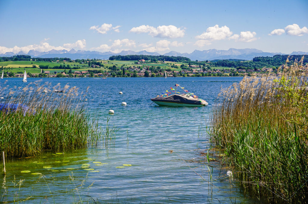
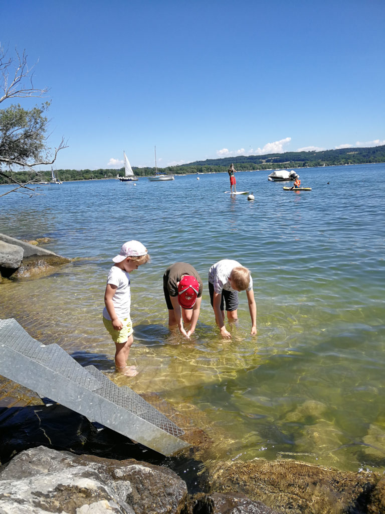
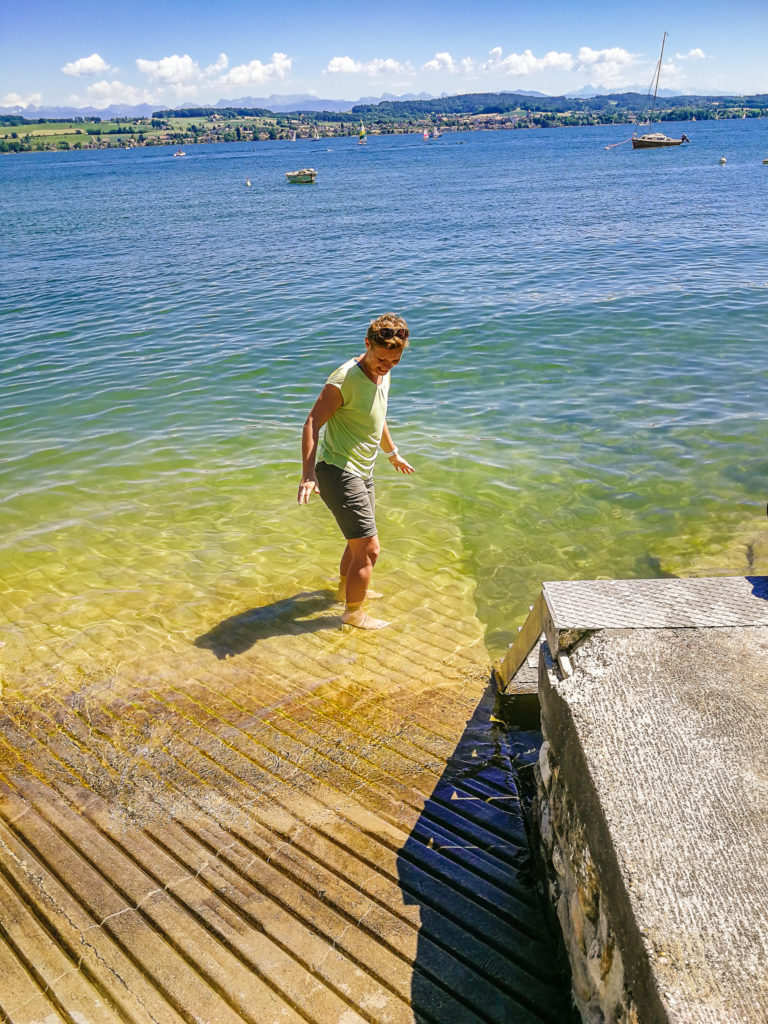
Lake Murten
Around the Bel-Air restaurant, we took the trail around Lake Murten and looked for a place where we could refresh ourselves a little.
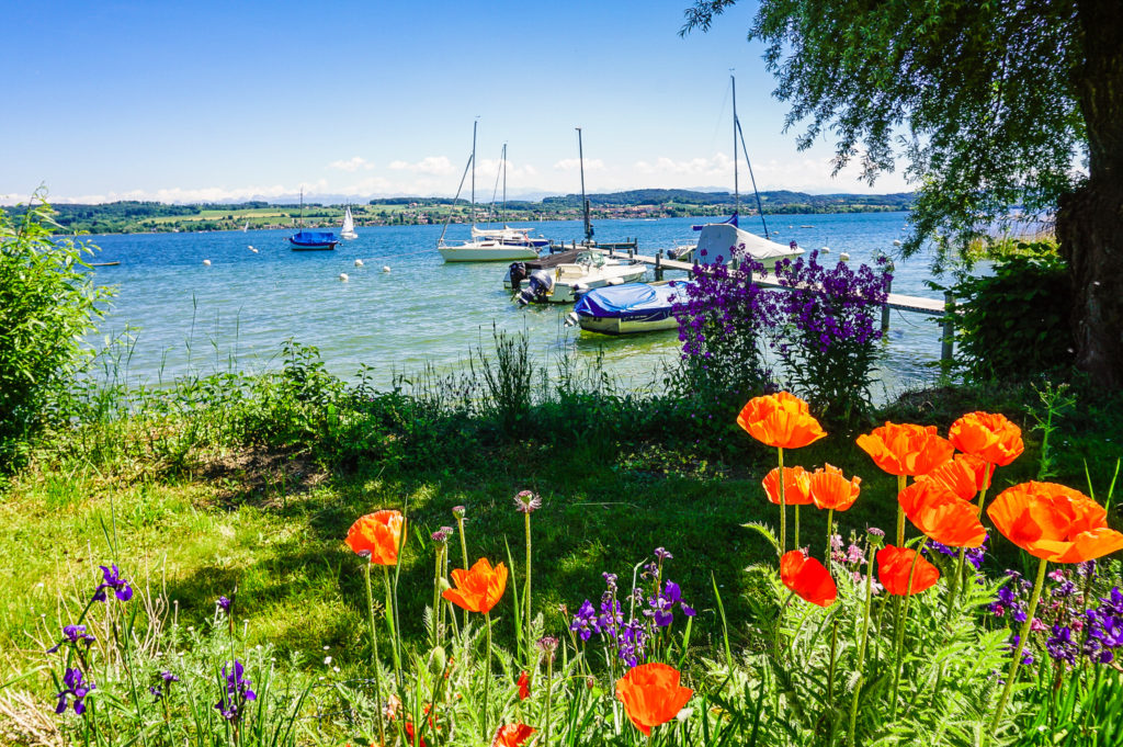
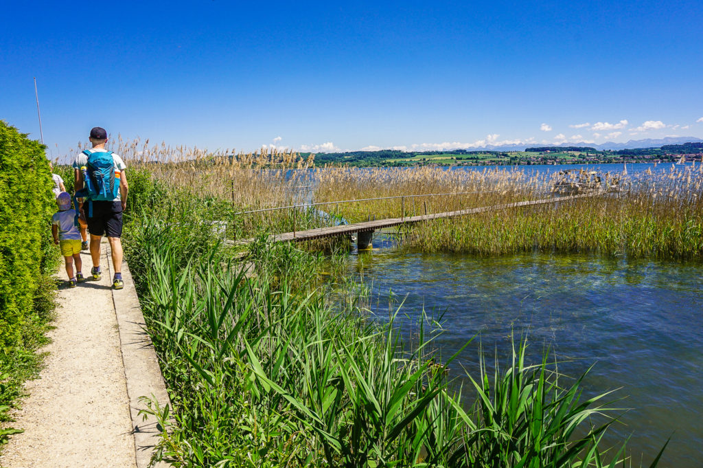
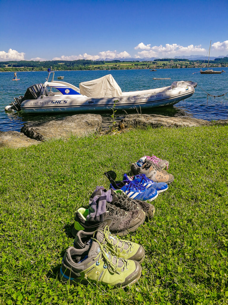
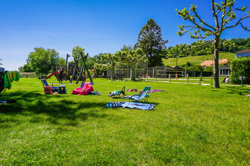
Public beach in Nant
We finally found such a place on a grassy public beach in Nant. Although I read that Lake Murten is very quickly warm due to its shallow depth, and therefore it is very popular for swimming from spring to autumn, after all we only soaked into the water to our knees (even so, after a while we got cramps in the calves).
Summary
- The route measures 10 kilometers and is not suitable for strollers.
- I recommend taking a flashlight with you (of course, one best for each child, so that your children don’t fight with each other) – it will be very useful when climbing caves!
Sources:


I am a member of


Map of activites

Podcast
You may be also interested in
Social Media
Categories
Subscribe