


Gantrisch Nature Park: On the Gantrisch Loop Trail
My third solo hike this season. Wow! After the route from Sumiswald via Trachselwald Castle to Lützelflüh and the descent from Mt. Niesen, I chose the Gantrisch Nature Park for my next escape from the daily routine of motherhood. Although the weather initially looked promising and the sky was azure blue, within minutes the weather did a 180-degree turn and I spent a good half of the hike in the clouds. Literally. But I didn’t regret a second of going. If only because the photos that were taken were absolutely magical and you haven’t seen such on the blog 🙂
Gantrisch Nature Park
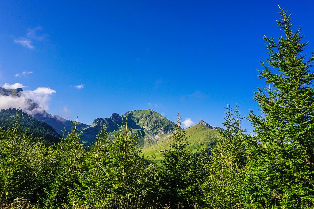
Gantrisch is not only a mountain in the Berner Oberland but also the name of a regional nature park. The whole area around Gantrisch and Gurnigel is a popular hiking, walking, and skiing area. This loop hike leads from Gurnigel (1 584 m) along a route through two mountain passes around the 2 175 m high mountain.
Starting point: Gurnigel, Wasserscheide
The starting point of the hike is Gurnigel, Wasserschiede. From Bern, you are here in 50 minutes. You take the A6 motorway in the direction of Thun, take exit 14-Rubigen, and stay in the direction of Belp/Flughafen. You will drive through Belp and Riggisberg, and follow the brown signs in the direction of Gurnigel.
If you know a bit about Naturpark Gantrisch, you know that there is a ski lift at Gurnigel. So the facilities for visitors arriving by car are very well prepared. There are 3 parking lots. These are paid – 1 hour/1 franc, or 5 francs for the whole day.
Between Schwarzenburg and Thurnen, the Postauto line 323 also runs via Gurnigel. In summer and autumn, on Saturdays, Sundays, and public holidays, this line is supplemented by line 615, which runs from the stop “Schwarzenburg, Bahnhof” to “Gurnigel, Stierenhütte”. More information and timetables can be found here.
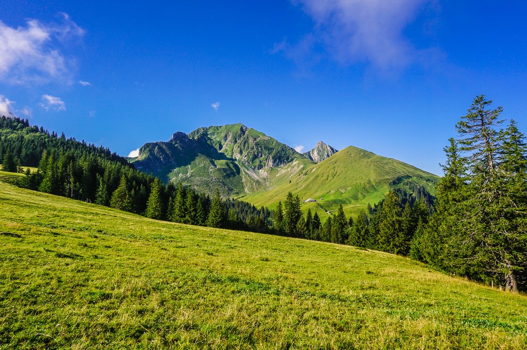
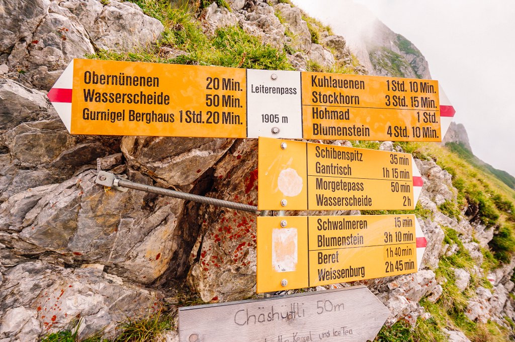
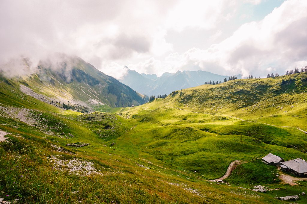
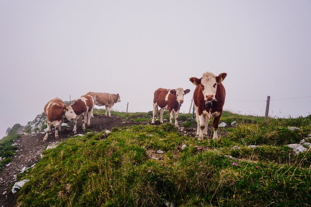
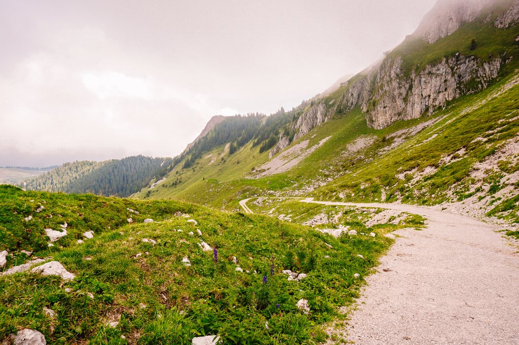
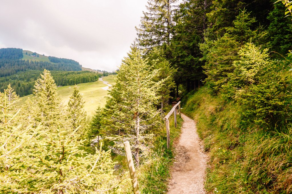
Hiking towards Gasthof Obernünenen
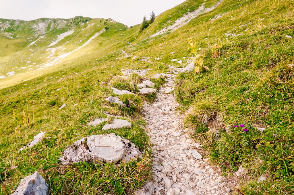
From the Wasserscheide car park, follow the wide gravel road in the direction of the Leiterenpass. In less than two kilometers you will reach the Obernünenen mountain restaurant.
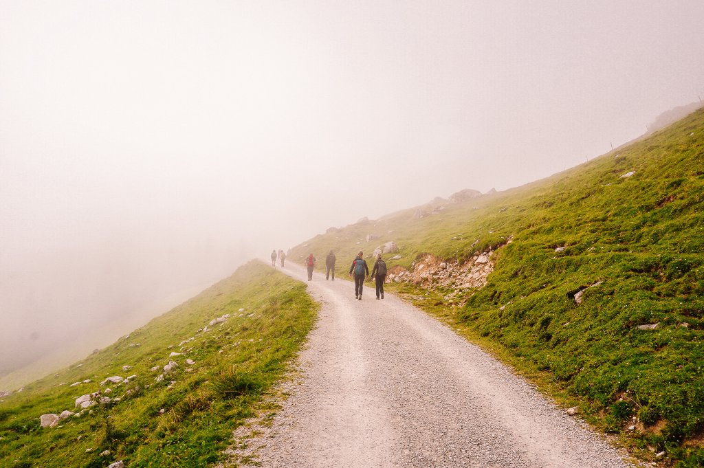
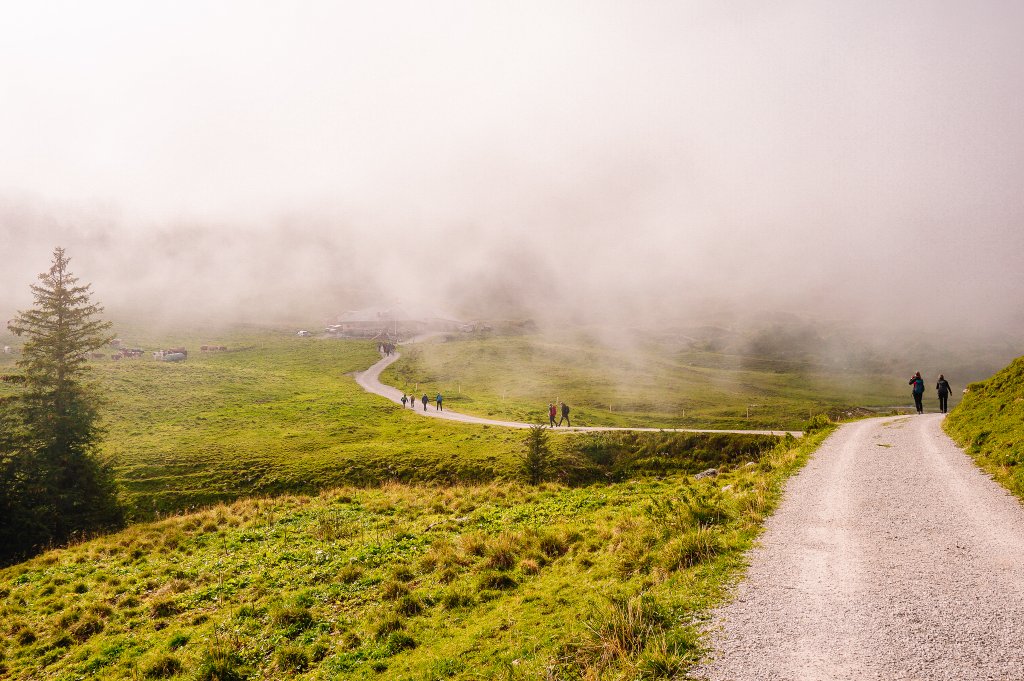
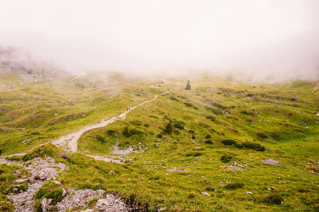
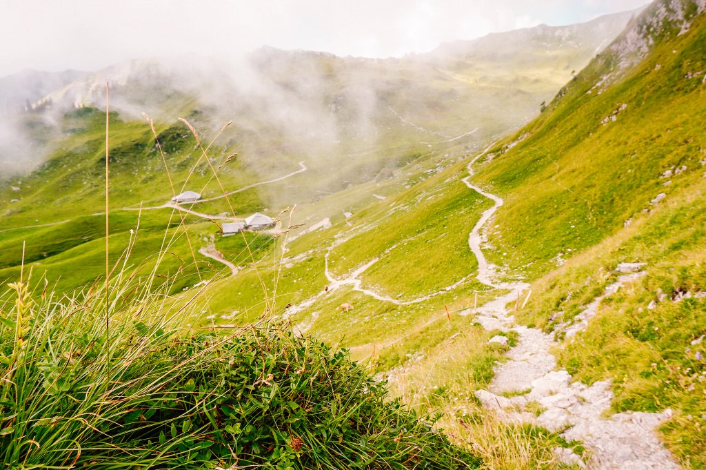
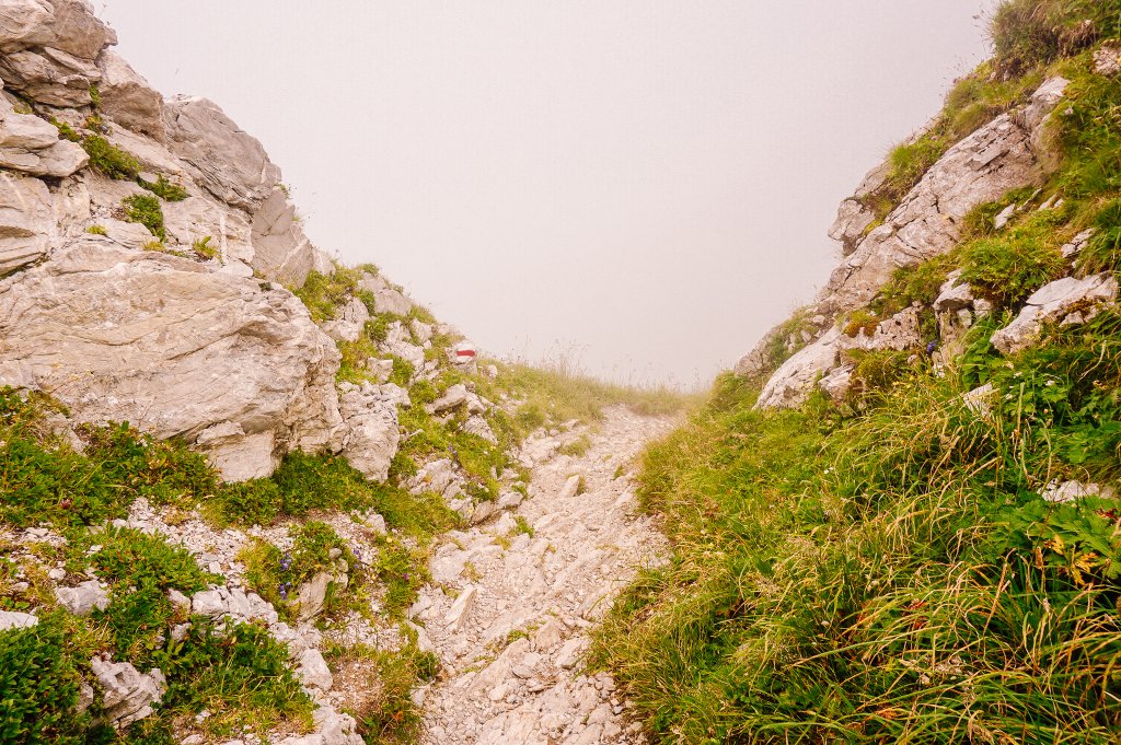
Climbing towards Leiterenpass
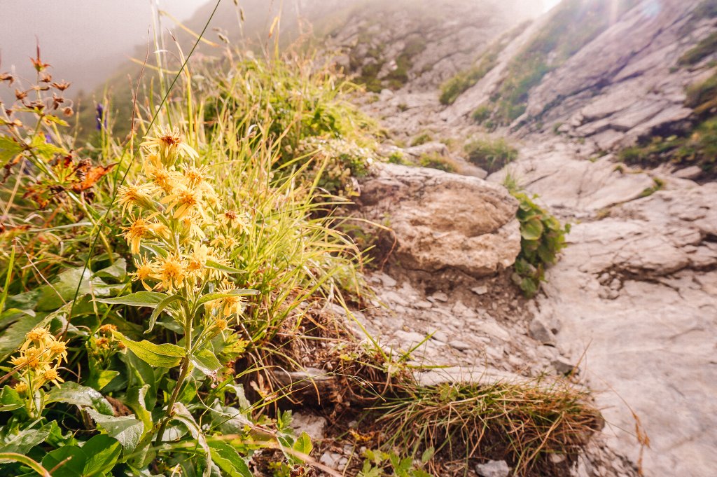
In the previous photo, you can see how the Leiterenpass peeked out of the clouds, towards which my steps and those of other fellow tourists were heading. Less than two kilometers of climbing with an elevation gain of about two hundred meters. The narrow trail was mostly very rocky, just a typical “Bergwanderweg”, i.e. mountain hiking trail.
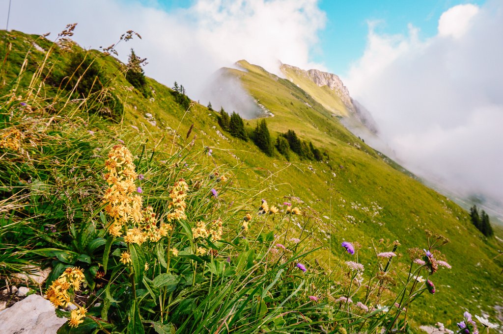
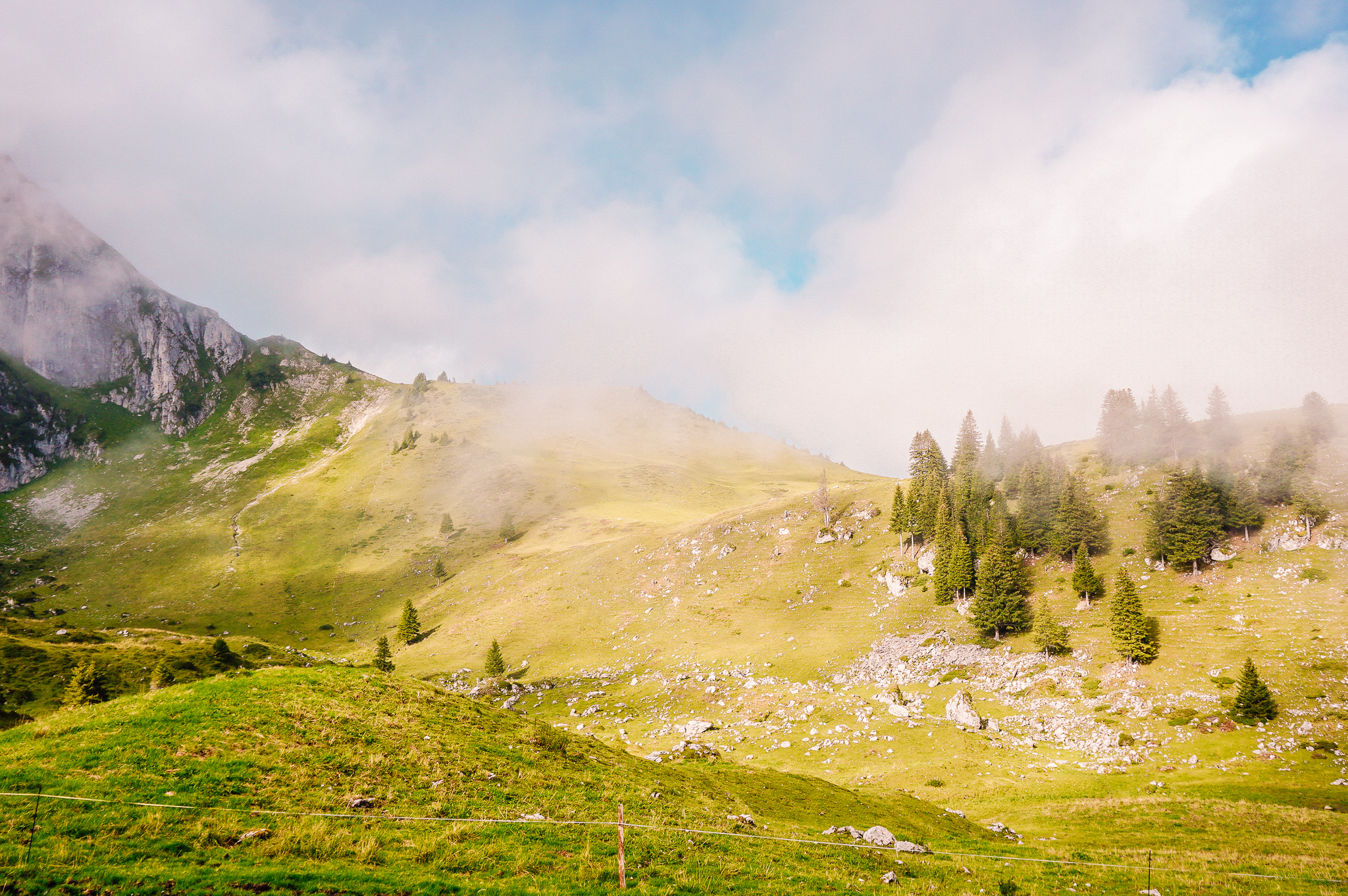
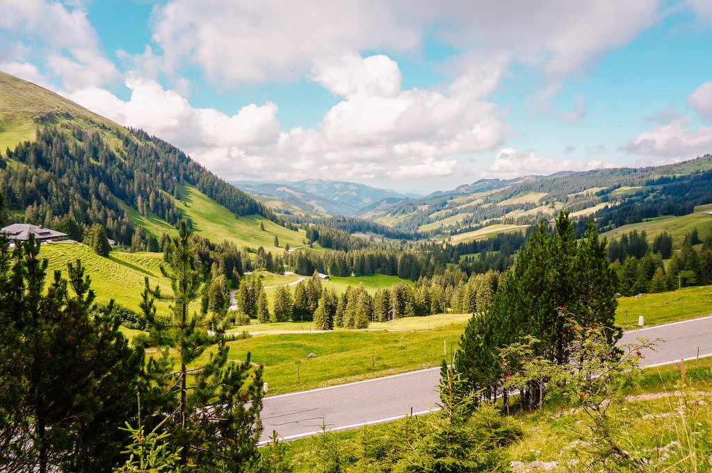
After climbing the Leiterenpass, you can take a moment to relax and enjoy the views of the mountain chain, dominated by the famous panorama of the Stockhorn.
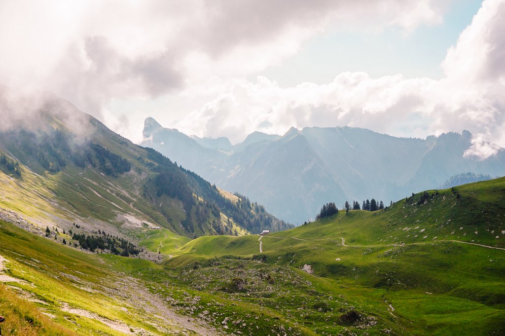
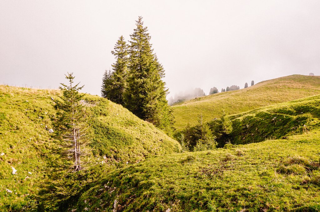
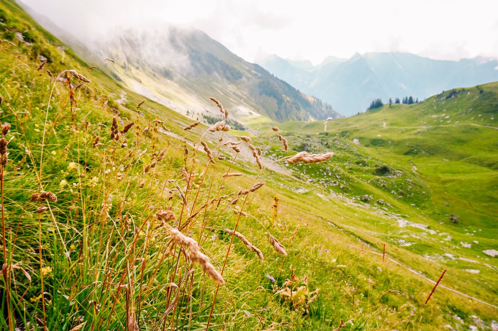
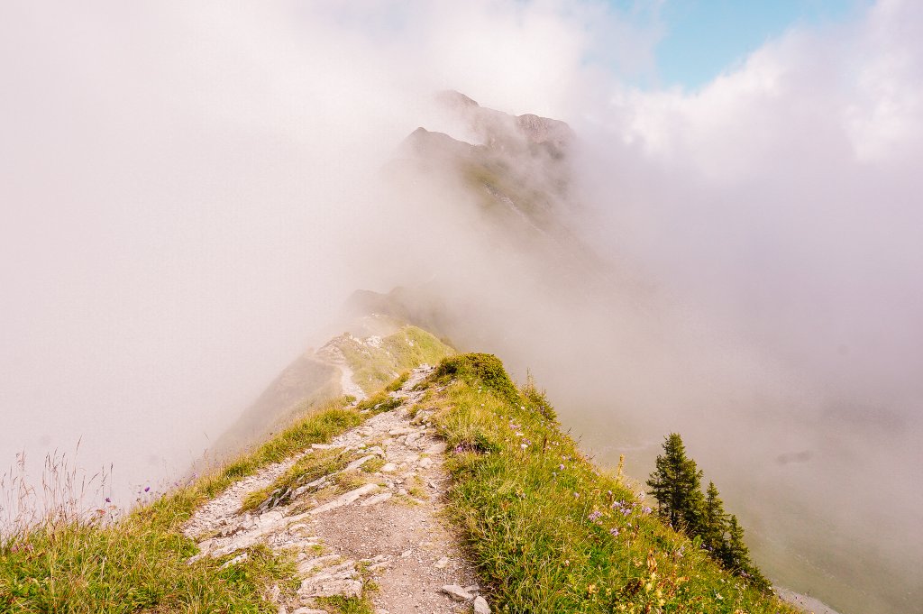
The gentle climb then continues even as you walk up the slope of the Gantrisch peak.
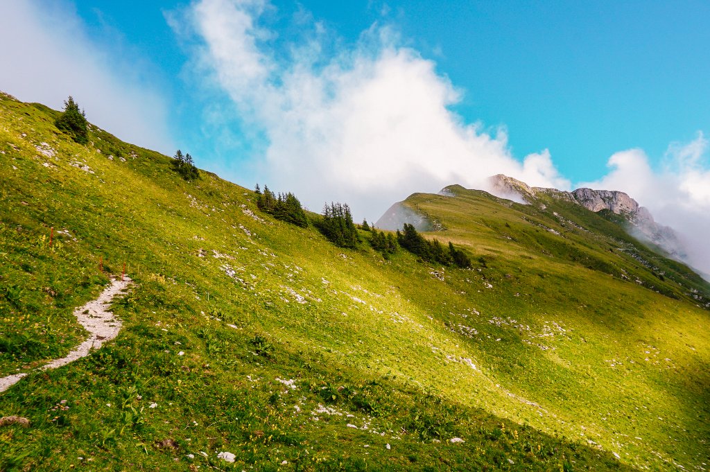
At this point, the road splits. If you were to go right, you would climb to the top of the Gantrisch. But I continued to the left. I suspected I was walking along the ridge, but I could only see a few steps ahead. Fortunately.
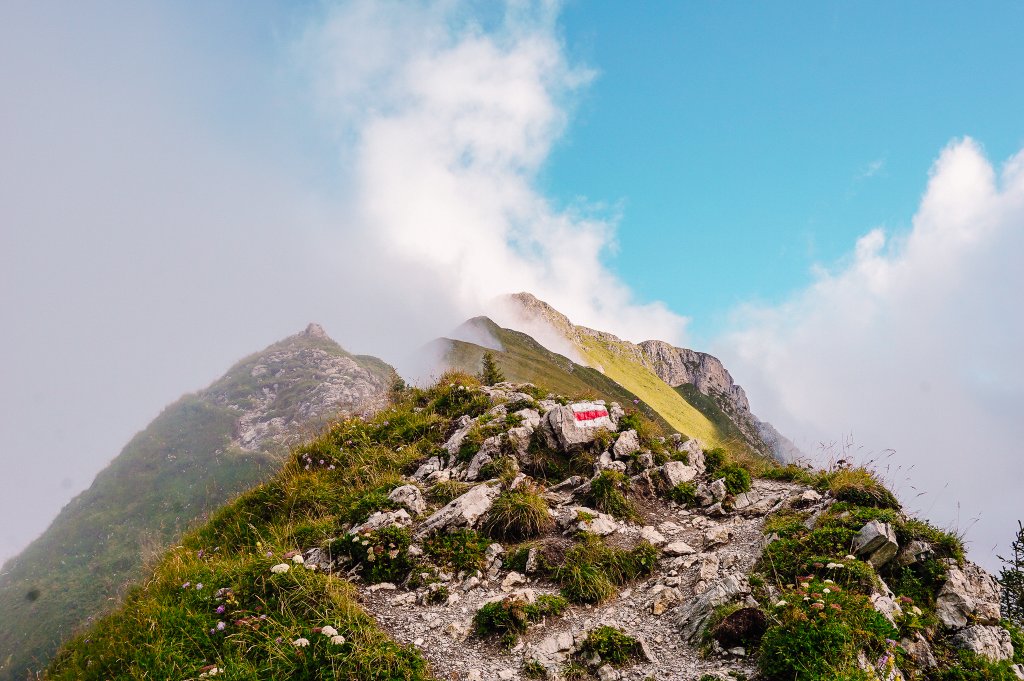
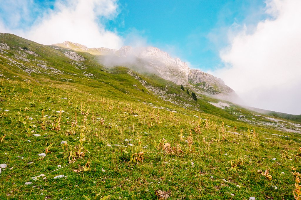
Towards Gantrisch peak 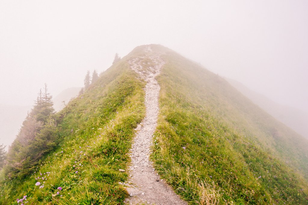
My trail 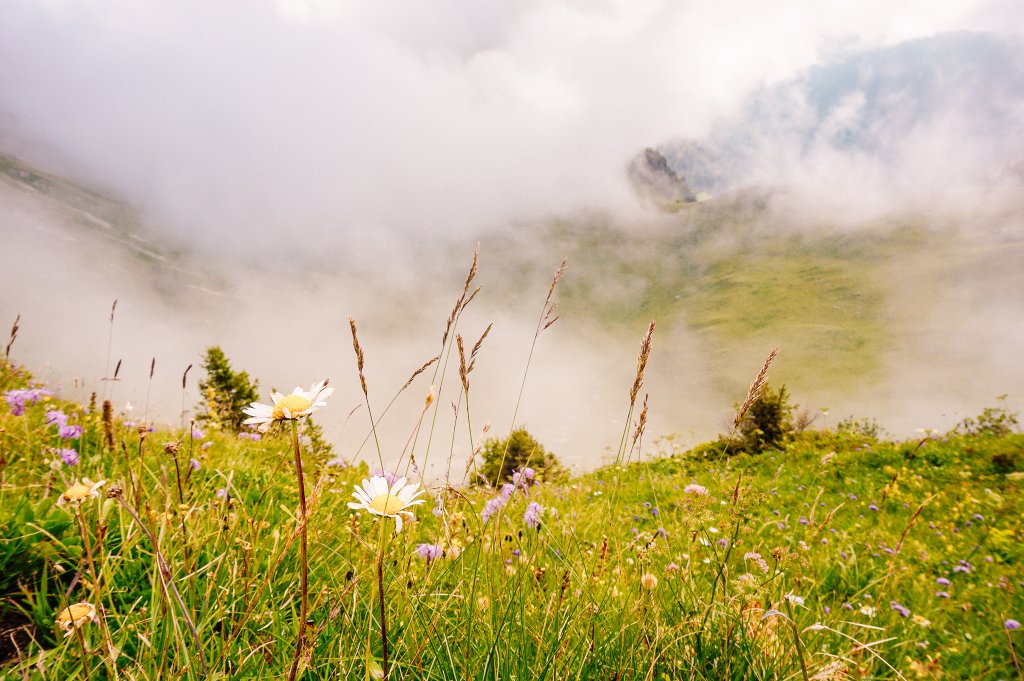
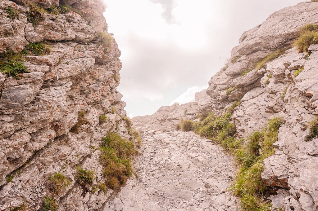
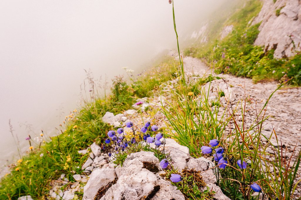
Fortunately, the path started to descend from here, but being practically in white darkness, it was no easier than the previous climb.
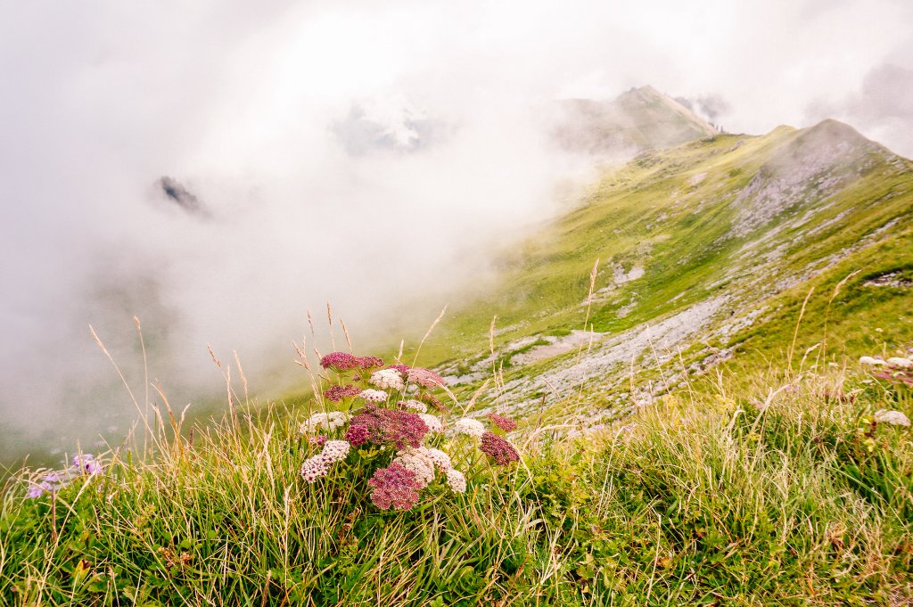
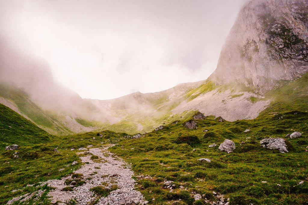
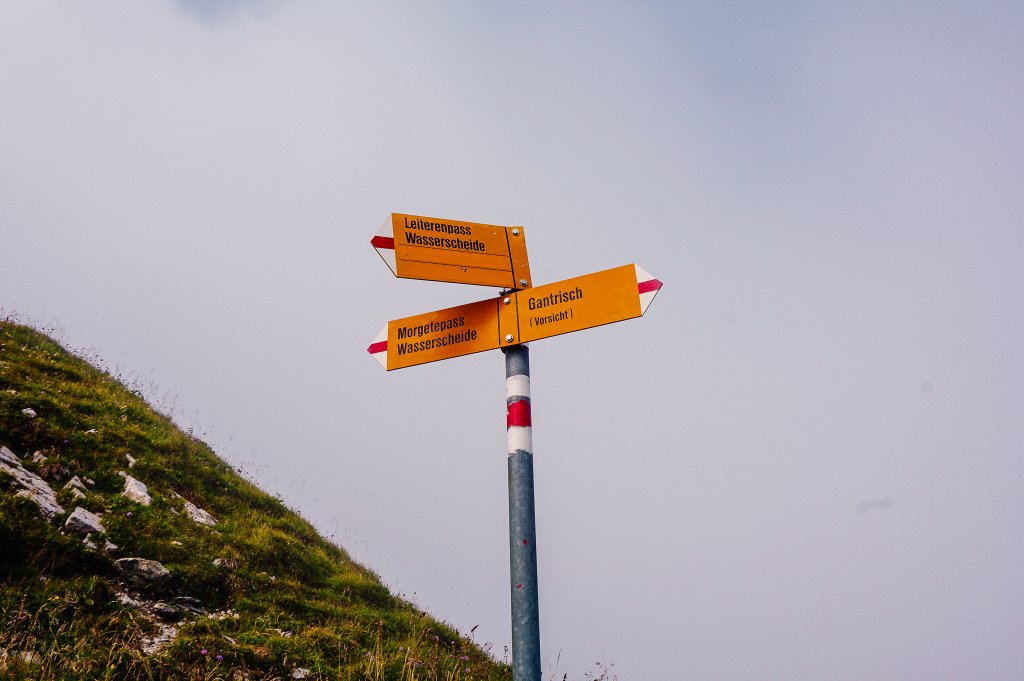
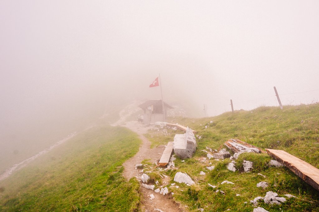
Morgetenpass
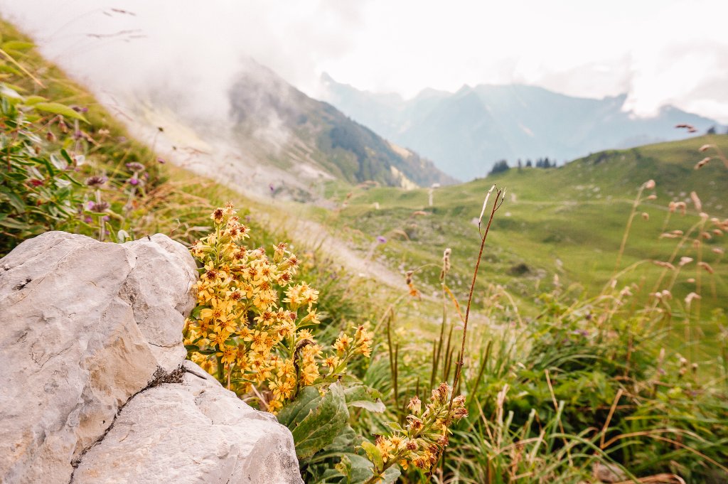
In good weather, it would probably be a pleasure to sit on the benches in the Morgetenpass and enjoy the views. But as it was, I just ran past the gentleman in the hiking hut and his dog, who looked very menacing, slipped between the rocks in the pass and made my way towards the landscape, which resembled that of my favorite movie Skyfall.
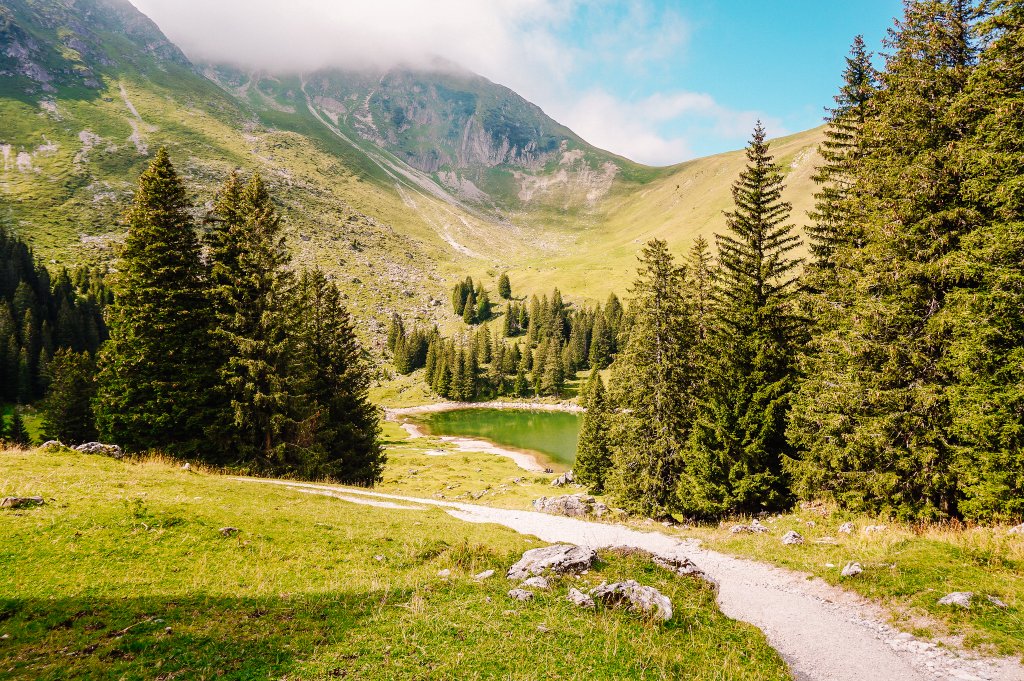
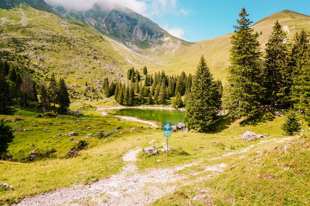
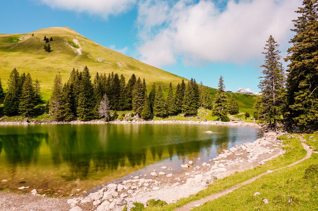
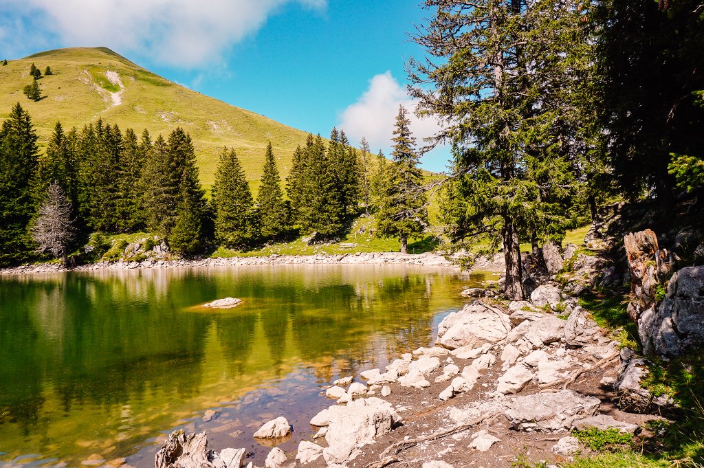
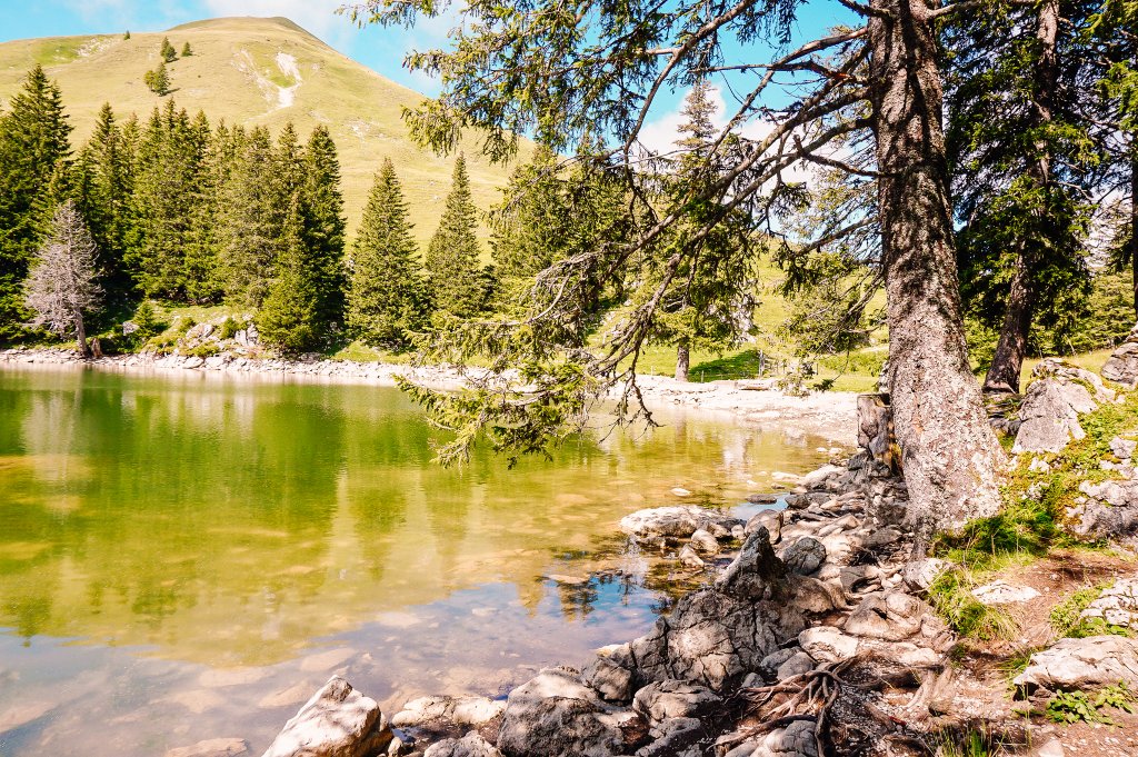
Gantrischseeli
After two and a half kilometers of pleasant descent, I arrived at the Gantrischseeli lake. The idyllic mountain lake below the Gantrisch and Birehubel peaks invites you to rest after a demanding hike. Around the lake, there are several wonderful barbecue and picnic spots.
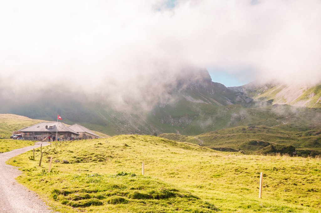
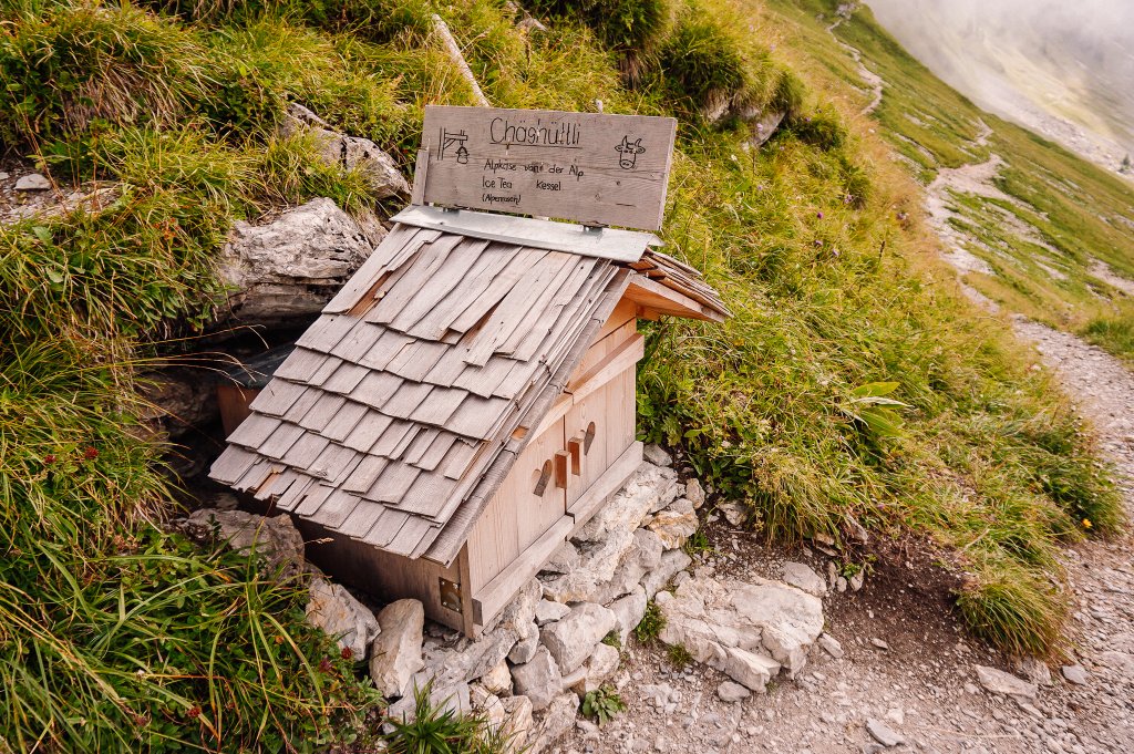
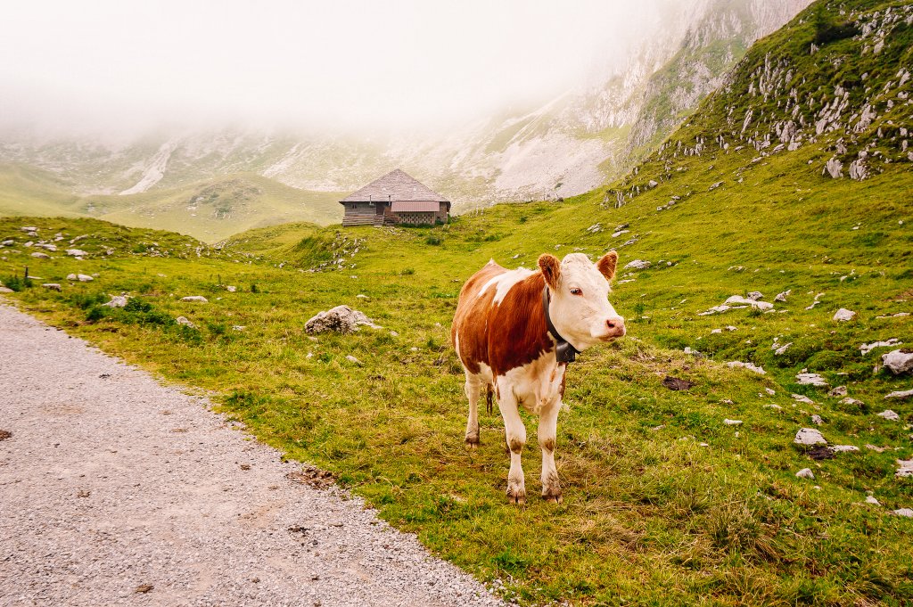
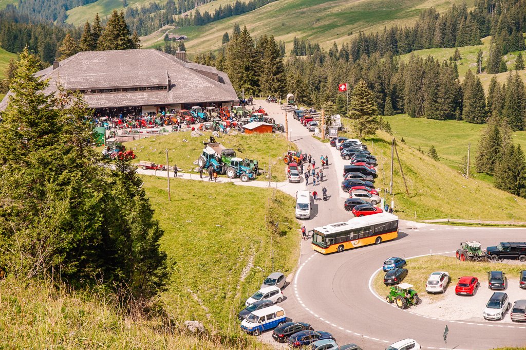
If you don’t want to roast anything by the lake but want to eat in a restaurant, there is a Birehütte about half a kilometer down the road, and a larger Gantrischhütte a little further on. When I went here, there was a tractor meeting 🙂 From here you can easily reach the Wasserscheide.
Summary
- The trail is 8.8 km long and is not suitable for strollers.
- The elevation profile of the route can be found on the Tourenplaner SCHWEIZ website.
- My tip: as the weather and temperature can change very quickly in the mountains, carry an extra layer of clothing in your backpack. I also keep a “buff” in there, which you can use as a headband/hat or scarf.
Explore more places in Gantrisch Nature Park
Family theme trail over the Gäggersteg
Witch trail Häxewääg Schwarzsee


I am a member of


Map of activites

Podcast
You may be also interested in
Social Media
Categories
Subscribe