


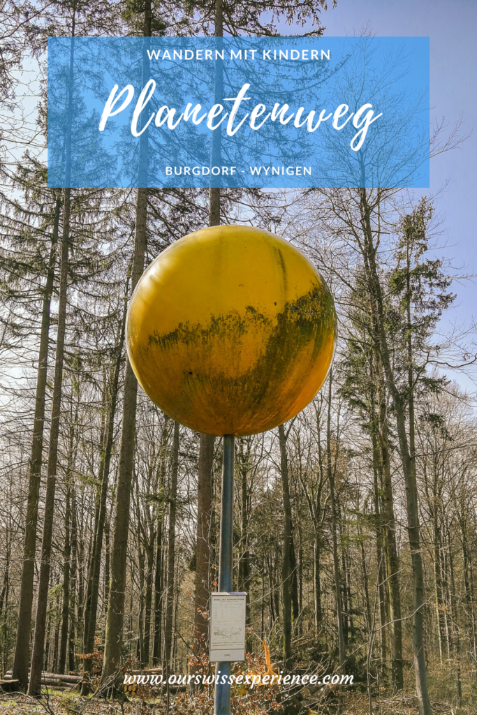
Hiking with kids: “Planetenweg” Burgdorf – Wynigen
As I promised myself just after the outbreak of the coronavirus crisis, I planned to stay home as much as possible, but also to explore local trails with the kids. Because I strongly believe nature is the best playground. And also the best environment to keep us mentally and physically healthy. Beautiful walking and hiking trails can also be found almost on the doorstep. This also applies to the path of the planets aka “Planetenweg” which leads from Burgdorf to Wynigen.
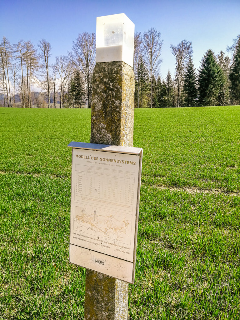
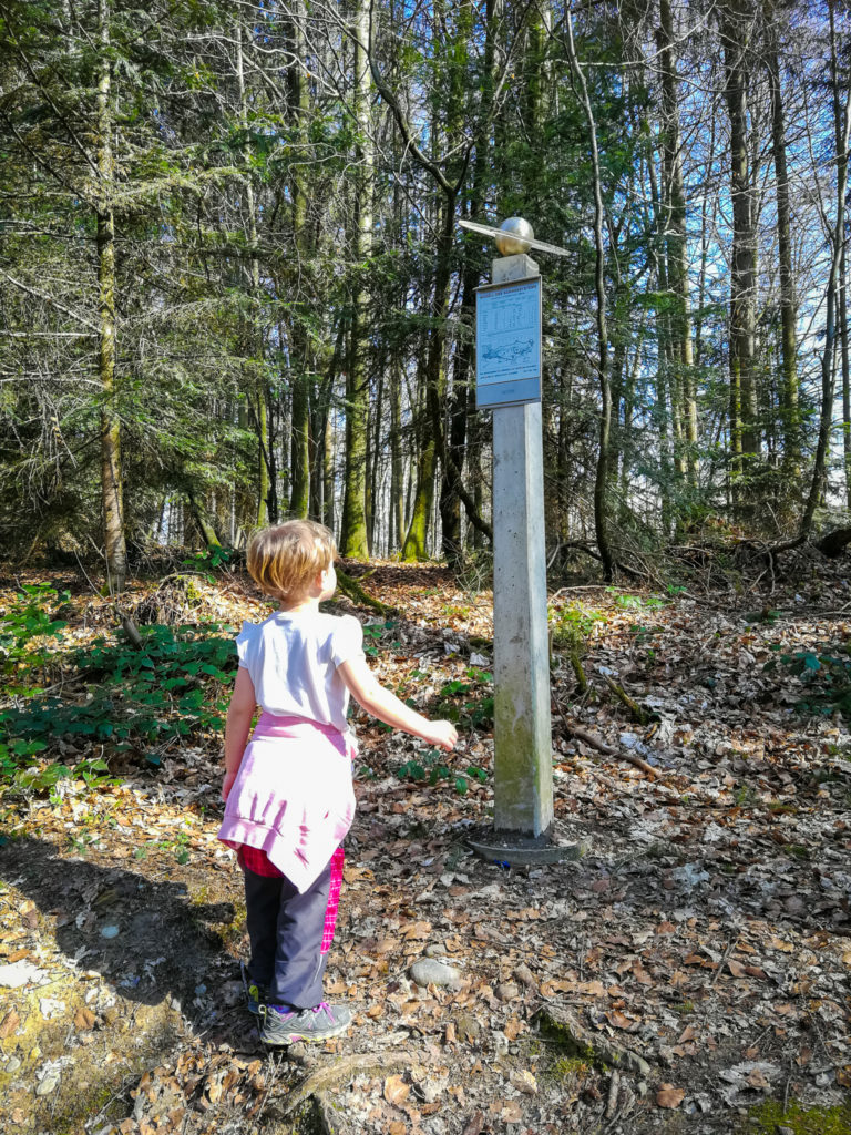
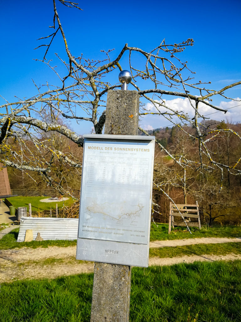
The Astronomical Society in Burgdorf is behind the implementation of the Planetenweg, which wanted to introduce visitors to the differences between the sizes of the individual planets in the solar system in an easy-to-understand form. At a scale of 1: 1 billion, the size of the Sun and planets and the distance of the planets from the Sun are shown by an open-air model spread over a distance of about 6 kilometers. *
Arrival
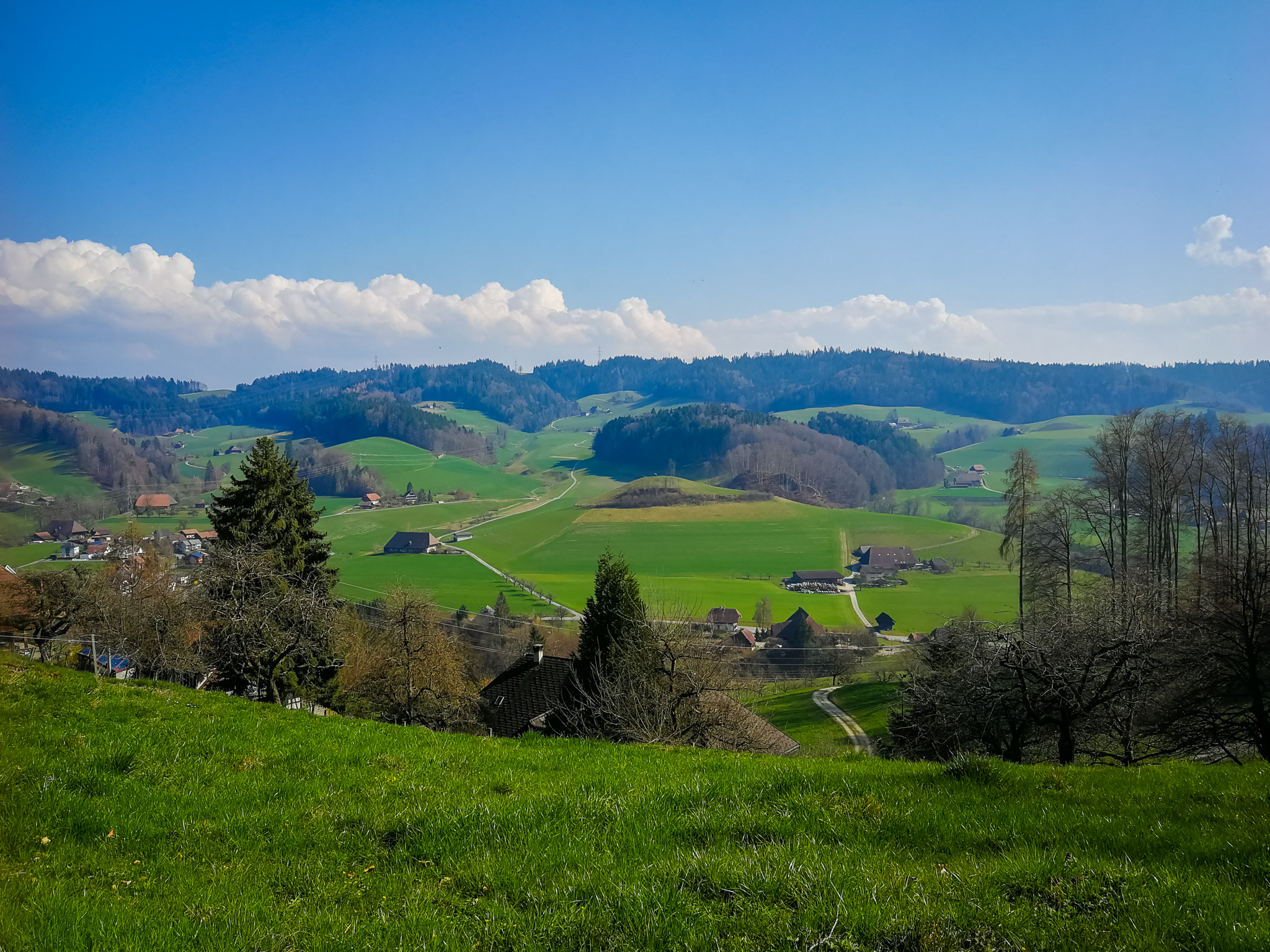
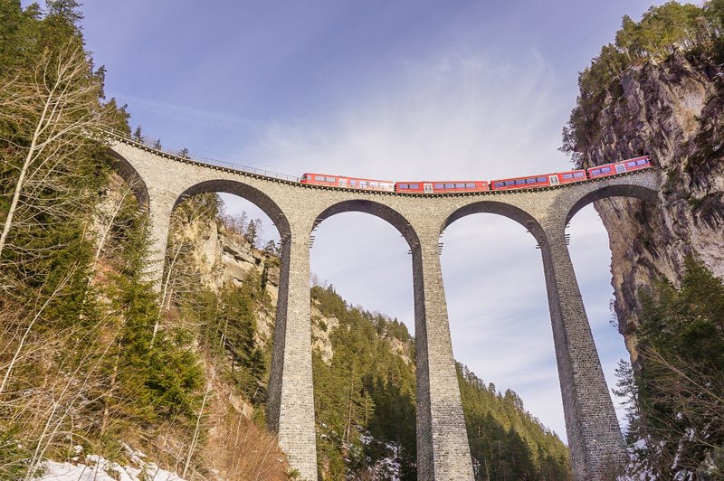
The starting point of the route, as stated on the Wandermagazin SCHWEIZ website, is the train station in Burgdorf. However, due to the ongoing situation, we chose to arrive by car, which we left parked in the Markthalle car park near the Waldeggbrügg bridge. When you start hiking here, you won’t miss any model from the solar system, don’t worry.
From the train station, you can reach the bridge by following the signs – first along Bahnhofstrasse, where the tourist office is located, past the “duck pond” near the Franz Gertsch Museum, from here up to Kronenplatz and then downhill the Rütschelengasse to the Landhaus restaurant.
Trail
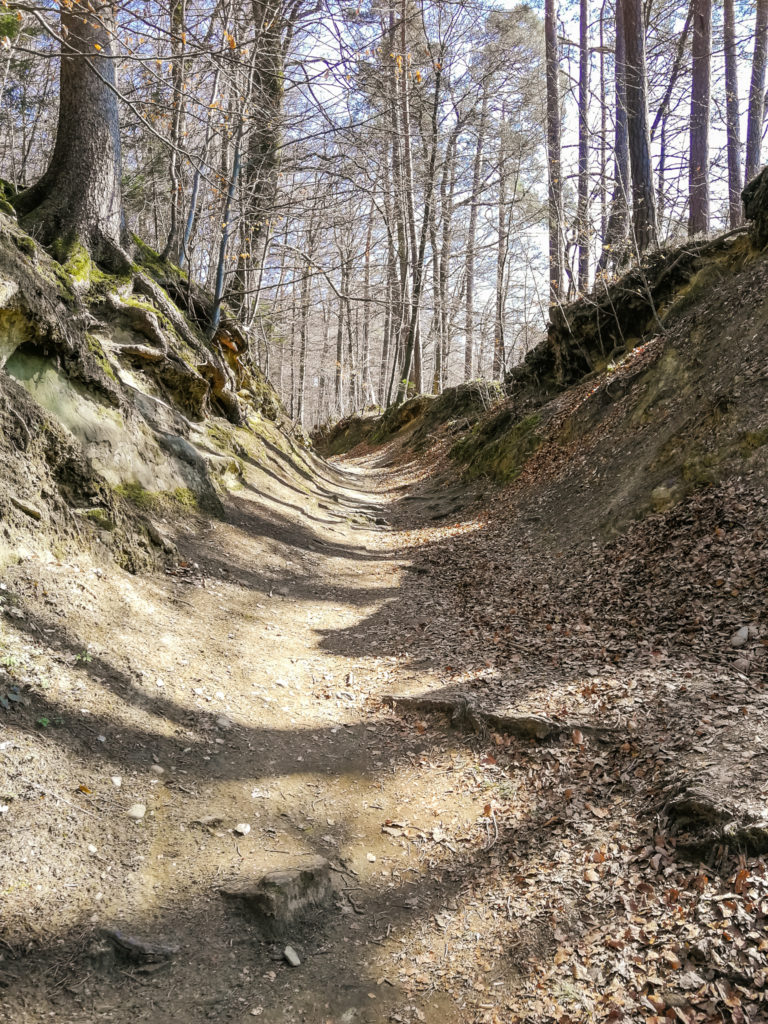
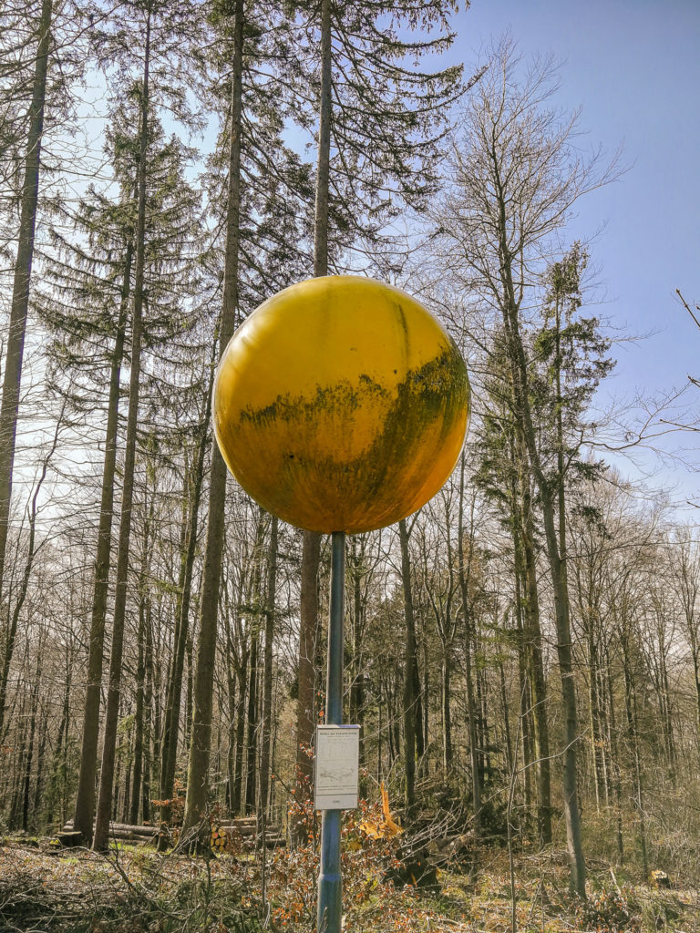
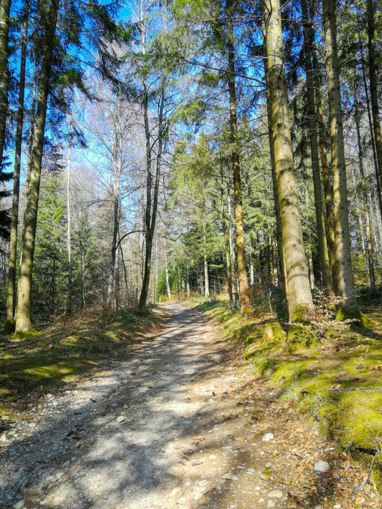
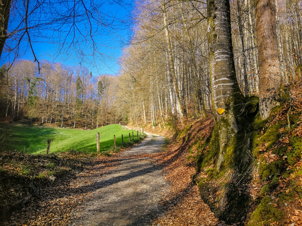
Cross the Waldeggbrügg bridge and turn right up through the rocky Waldegghole gorge and continue through the forest. When you come out of the forest on the Binzberg plain, on the right side at the edge of the forest you will see the first model – the Sun. Each model on the route is also equipped with a plate with lots of interesting information. Before you reach the picnic site just behind the Binzberg farm, you will see 4 more models (Mercury, Venus, Earth and Mars). But we passed the first one unnoticed, because we did not realize that the concrete column with a transparent cube, in which there is a small ball, is Mercury.
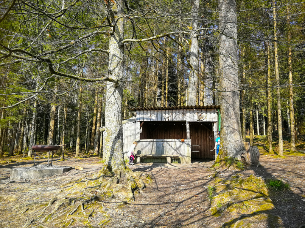
Picnic spot
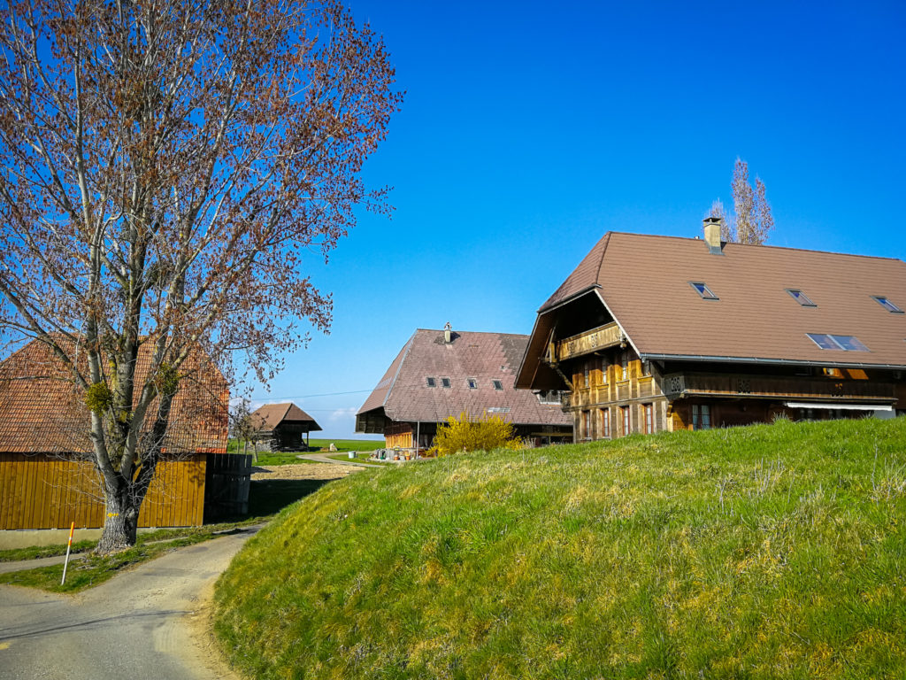
Behind the Binzberg farm you will find a beautiful picnic area on the edge of the forest, even with a covered shelter. From here, the road leads more or less through the forest towards Kaltacker.
Kaltacker
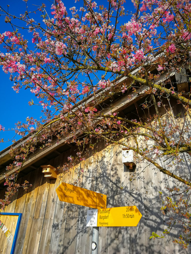
After about three kilometers you will reach the village of Kaltacker. In addition to having a snack here in the Hirschen restaurant, if you are tired, you can wait for bus number 468, which will take you back to Burgdorf. Or instead of going to Wynigen, you can head to the popular lookout point Lueg, and from there even further to the cheese factory in Affoltern.
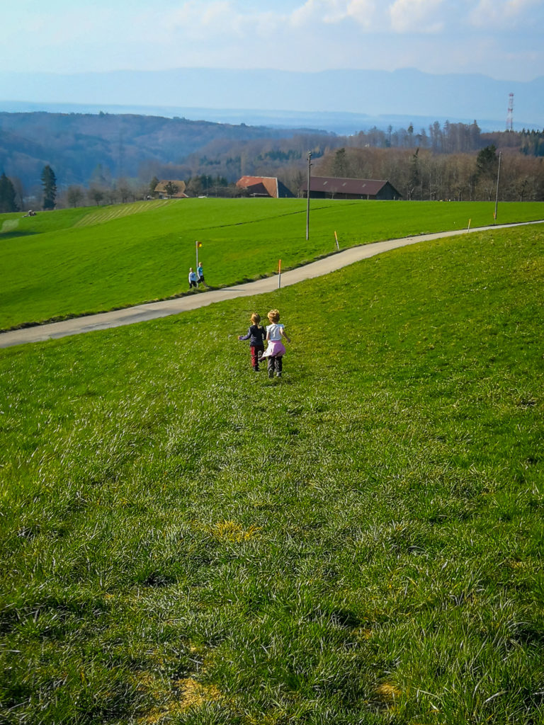
But we turned left and headed for the Guetisberg farms. BUT BE CAREFUL HERE! About 250 meters you have to walk on a road that can be (especially on weekends) very busy. Therefore, I recommend maximum caution!
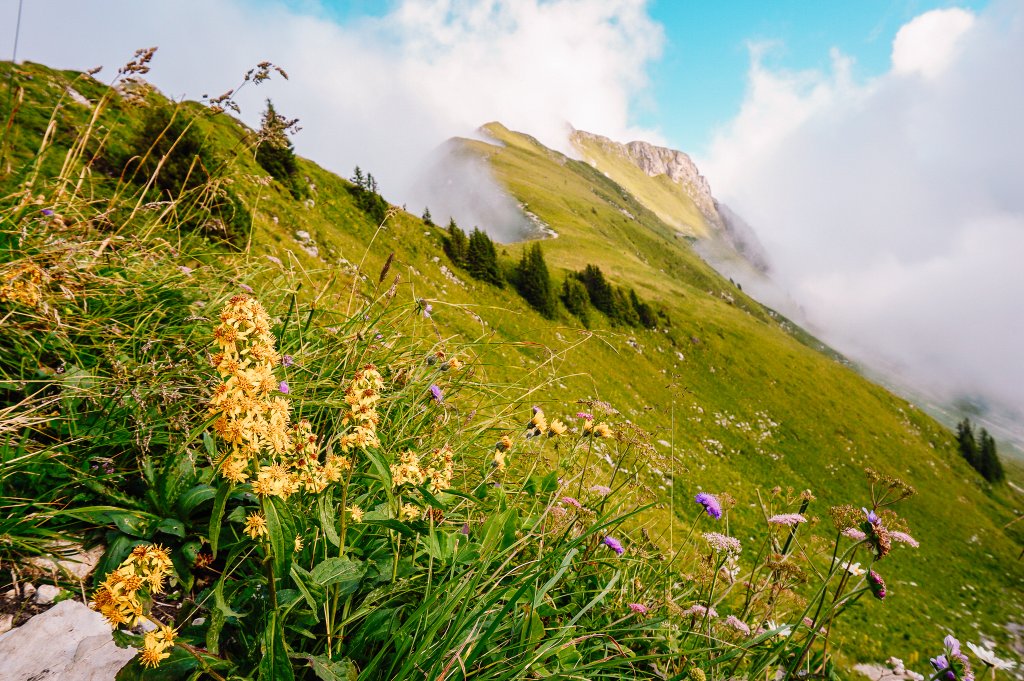
From here we have a view of the Jura Mountains. At the next signpost, we turned right and along the asphalt road we came to the Rutschiweid farm, where there is a model of the planet Neptune.
From here, a dirt road leads down into the valley of the Chänerechbach stream and then climbs again to another forest. At the end of the climb, you will find another picnic area (Feuerstelle Hirselewald). From here it’s about a mile down the hill to the train station in Wynigen.
Summary
- The route, which measures just over 11 km, is very well accessible by public transport. The shortened version we went on was less than 9 kilometers long.
- An interactive map showing the elevation can be found on the Wandermagazin SCHWEIZ website.
- The route is not suitable for a stroller.


I am a member of


Map of activites

Podcast
You may be also interested in
Social Media
Categories
Subscribe