You may have noticed that the title of this post is missing the traditional attribute “with kids”. Even though we climbed the highest mountain of White Carpathians with one child, it would be misleading. The littlest was in the baby carrier most of the hike (I have the impression that we have spoiled her by carrying her, and she is now refusing to walk the longer ways alone :O ).
Getting there
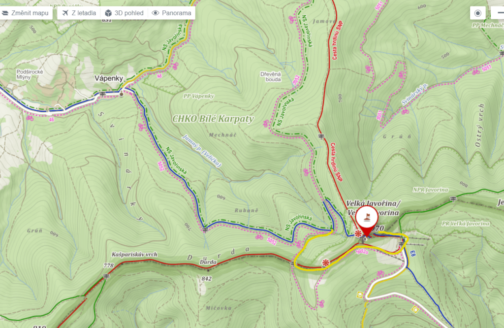
By car is Velká Javorina (970 m.a.s.l.) accessible only from the Slovak side. It is accessible only on foot from the Czech side and several hiking trails lead to the top. I remember from my childhood the trail from Květná. For this hike, we have chosen the route that leads from the village of Vápenky. Probably the largest parking lot is here at the Penzion u Černého potoka. However, we left our car a few yards away at the terminate stop of the local bus line, on the right side behind the bridge over Velička. From here we followed the blue tourist sign.
Trail
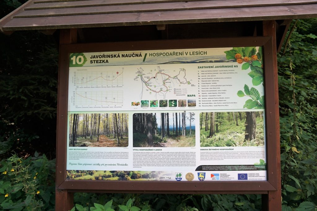
The path leads first on the asphalt and right after a few dozen meters you get to the pleasant shade of the forest. After about two kilometers, you will reach Vadovská “rest place”. Here you can have a snack in the wooden pavilion and learn something about local forests. The place is one of the stops of the Javořina nature trail.
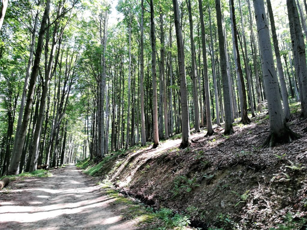
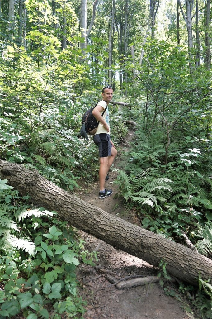
Then the asphalt changes into a wide forest path that leads uphill mostly through a beech forest.
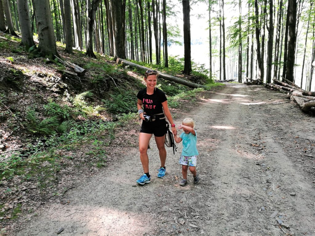
Approximately two more kilometers uphill, you will get to the next information board and at the crossroads. Uphill to the right leads up the cycle path. We turned left and continued following the blue sign. Although it may seem a little illogical, the path now went downhill. But about a few meters away, the blue sign turned right into the forest and up the steep hill.
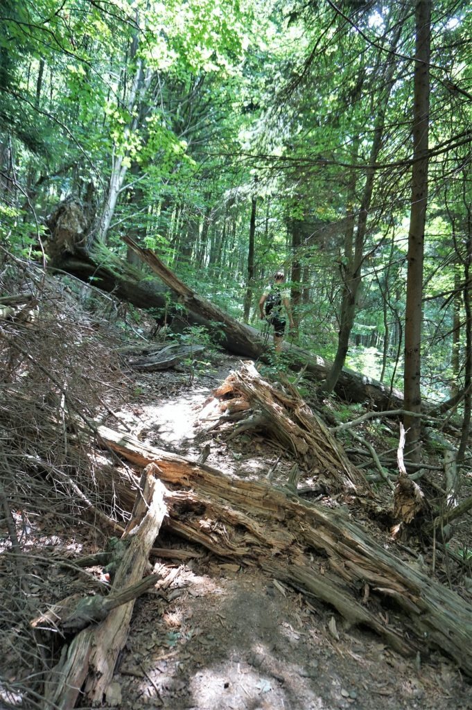
Since we were in the beech forest area (part of Javořina Nature Reserve), that has been left to the natural development since 1909 when the Liechtenstein were the landowners and decided to limit forestry, we had to deal with its pitfalls.
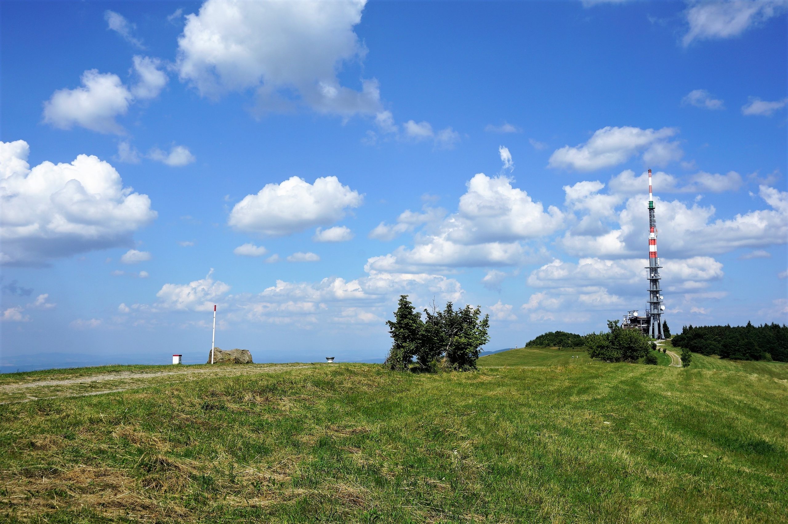
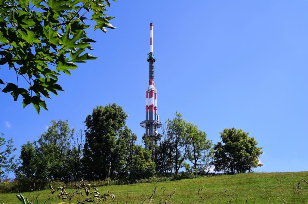
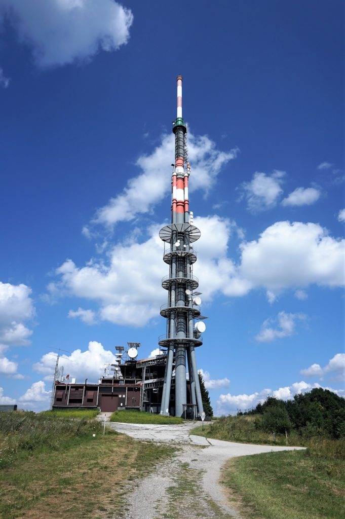
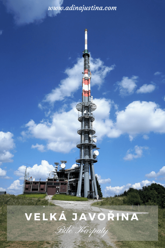
When we were already saying that we have not experienced such a steep climb even in Switzerland, we finally got to the edge of the forest just below the summit. Here, finally, a television transmitter, which dominates this part of southeast Moravia and is visible from far away, finally appeared at sight.
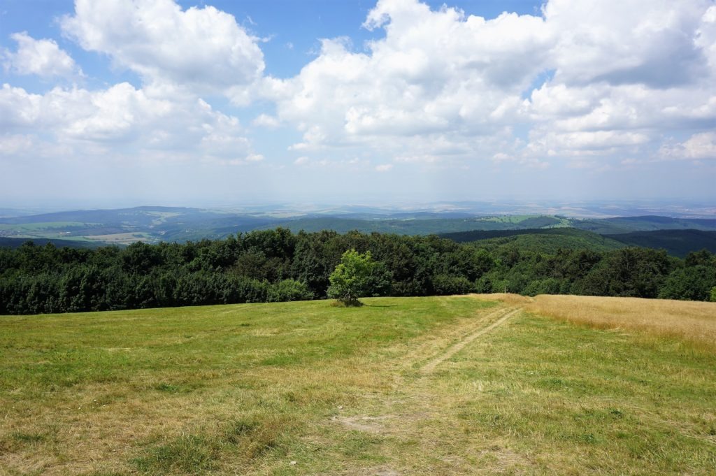
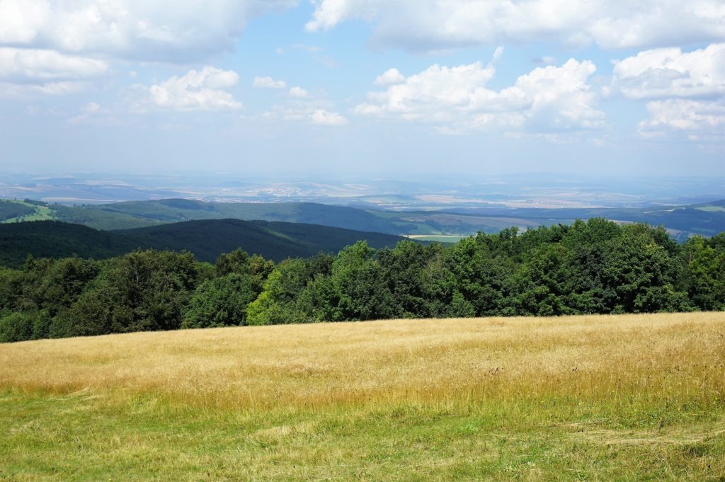
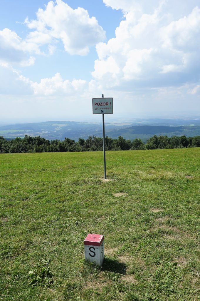
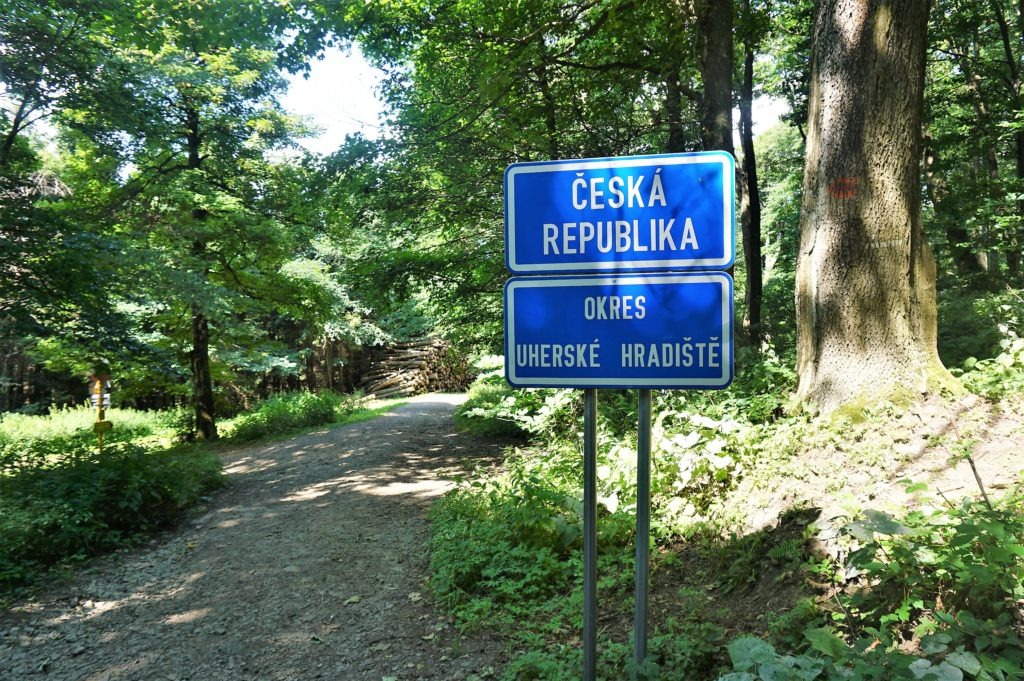
We crossed the mountain meadow to the signpost, which is located exactly on the border of the Czech Republic and Slovakia. From here we looked around the typically waved landscape of the White Carpathians and tried to guess where the towns or villages were (perhaps I´m too spoiled, but I would definitely welcome a panoramic board with a plan and a description of the villages, the surrounding and the more distant peaks).
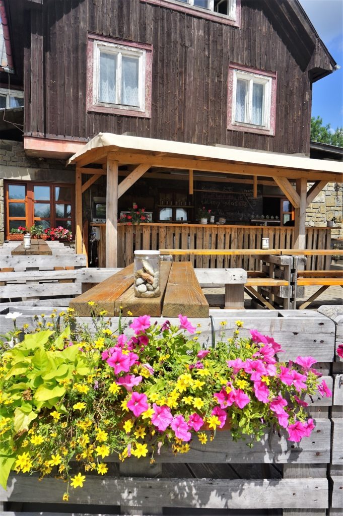
Then we continued for about half a kilometer to the Slovak side to reach the Holuby´s cottage. If you do not have Euros just like we did not have, don´t worry, you can pay here even in Czech crowns.
We didn´t go back in the same direction, but we followed the red sign (route E8) towards the Dibrov monument. In fact, we walked around the summit and the transmitter and went along the state border.
At the second signpost, we turned to the right and headed for the forest (keep following the white verge posts defining the state border). We entered the Czech territory again through the rocky path full of roots 🙂
And then we continued on the cycle path/forest path to the signpost where we once again joined the blue sign. From here, we continued on the well-known way down to Vápenky. The map of our modified route is below. Yellow is marked by where we went from Holuby’s cottage before we once again joined the blue tourist sign.
Summary
- The whole hike was 13 kilometers and we overcame 500 meters elevation gain. It took 4 hours (including the snack break at Holuby’s cottage)
- The route is not suitable for a stroller. Even though … if you did not mind a steep climb and you would have a good terrain stroller, I dare to say that after cycling route 5052 (see the map above) you could get to the Holuby´s cottage could. Otherwise, I would recommend hiking with children 5+ (climbing and the elevation gain was similar to our recent hike from the Simmen falls to Seven Springs in Switzerland).
And what about you? Have you ever hiked to the Great Javorina? Did you try other routes? Which one do you think is the best? Send me your comments! And if you like the article, do not forget to share it! Thank you 🙂





1 Comment. Leave new
[…] Velká Javořina hike […]