


A pleasant fall afternoon on the Ahornalp
Hurray! After a week of voluntary self-isolation, we were finally able to go out again! This is what happened: the day after we went on a trip to the end of the world, we received an e-mail from Dominik’s class teacher stating that that the second child in the class had been tested positive with Covid-19 and that the whole class had to be quarantined. For us, this meant that Dominik started his week of homeschooling and we left the house only in the most urgent cases. But we didn’t have to regret it, because we didn’t miss anything anyway. Ice hockey practices did not take place already for two weeks and other leisure activities are also closed in our canton. But it also meant that next weekend we could not go anywhere on a trip. But we didn’t mind that much either, because on Monday after the end of the quarantine, our whole school had a day-off. So all that remained was to pray that Dominic or any of us would not have the symptoms of Covid-19 until then, and at least that the weather would come out well.
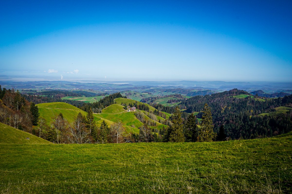
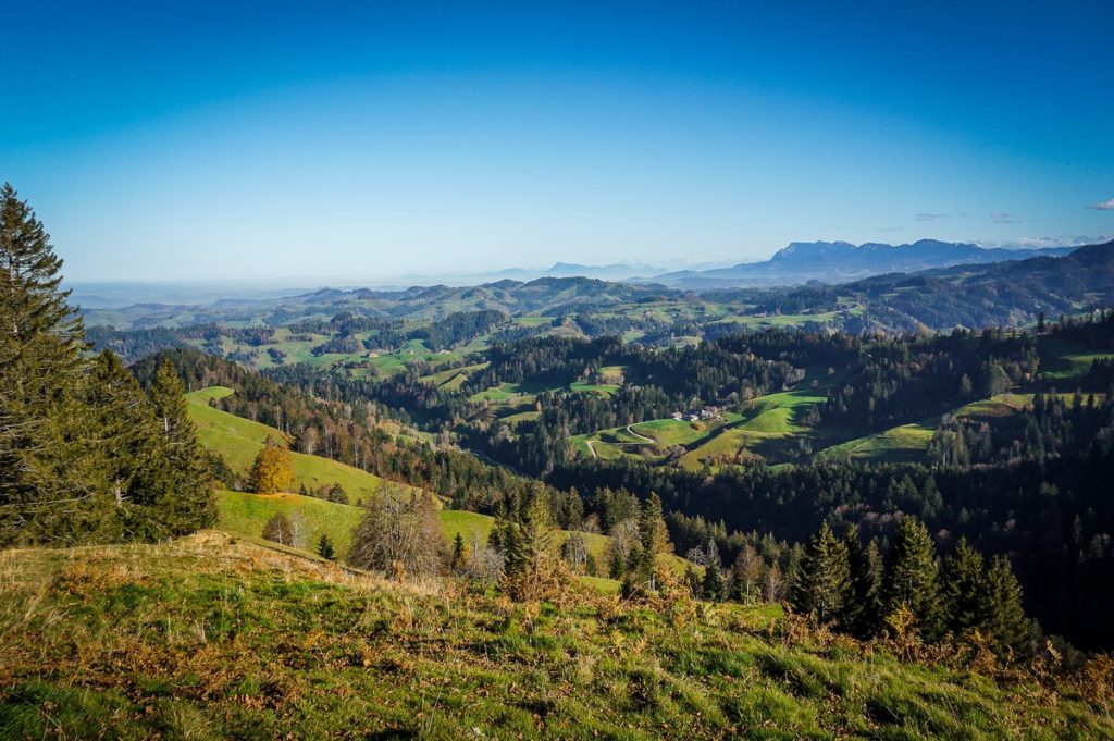
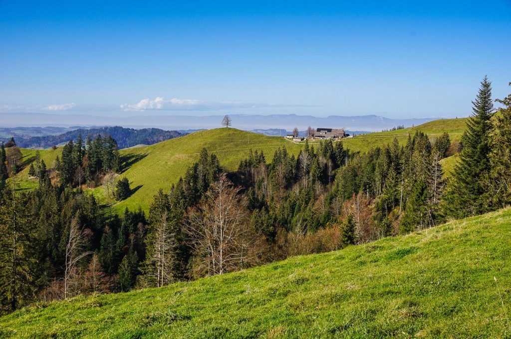
And the weather turned out absolutely great. So we set out to breathe the autumn air into my beloved Emmental, actually on its border – to Ahornalp. I’ve been wanting to look here since my husband was here on a hike last year with his football team, and I secretly envied him for knowing more of Emmental than I did!
Getting there
Ahornalp lies on the border of the cantons of Bern and Lucerne. A special Alpin Bus from Huttwil runs to Ahornalp during the summer season. Twice a day he goes in the direction of Ahornalp, twice a day back. A telephone or e-mail reservation is required the day before (reservations possible from 1. 5. to 31. 10.) and your public transport subscriptions do not apply here (Halb-fare card etc.). One ride costs 10 francs. You can find more information on this site.
The Ahorn Alps can be reached by car from Eriswil or Luthern. The journey from Bern takes just over an hour. Take the A6 motorway, take exit 13 – Muri, and continue in the direction of Luzern / Langnau i.E / Worb / Gümligen. In Ramsei, take the 3rd exit at the roundabout towards Langenthal / Huttwil / Sumiswald.
Parking spaces are available in front of the Ahorn Alp restaurant.
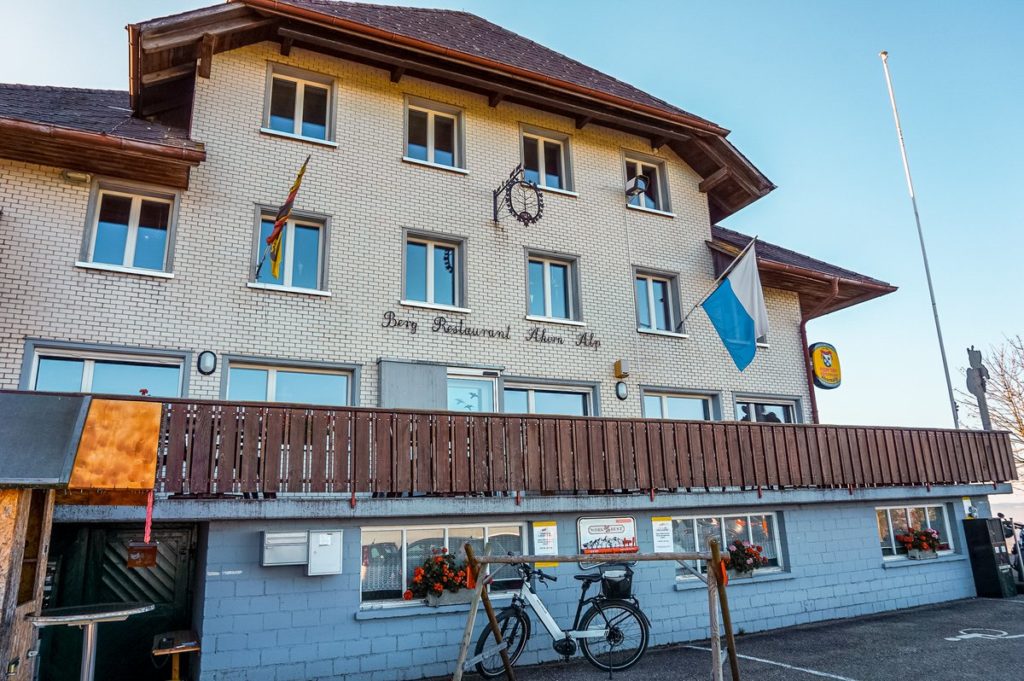
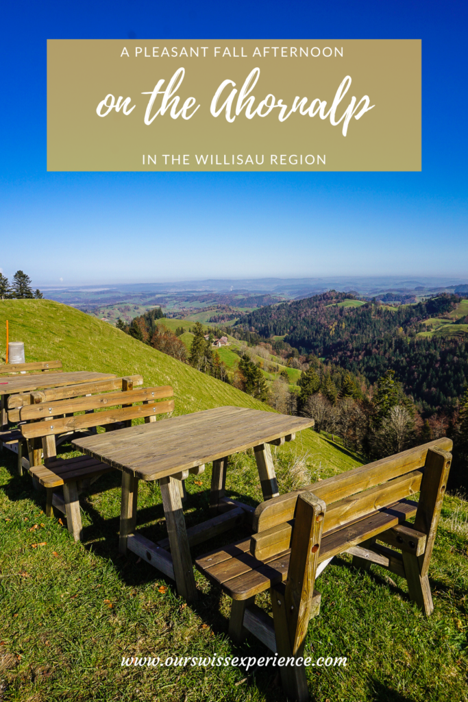
Ahorn Alp Restaurant
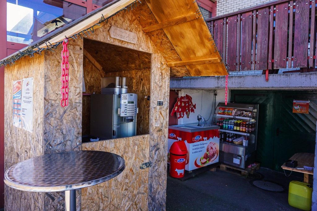
Apart from Mondays and Tuesdays, the Ahorn Alp restaurant is open almost all year round (it is closed for about a month at the turn of January and February). If you go here even on days when the restaurant closed (so called Ruhetag), refreshments are still available in the form of self-service and money box.
Our route
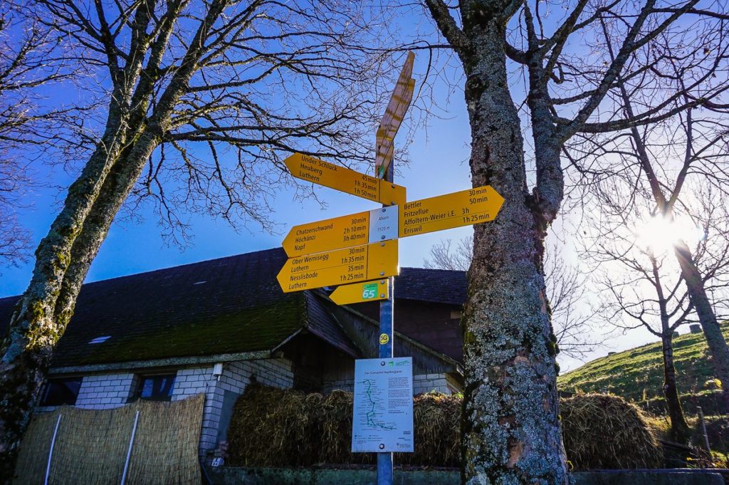
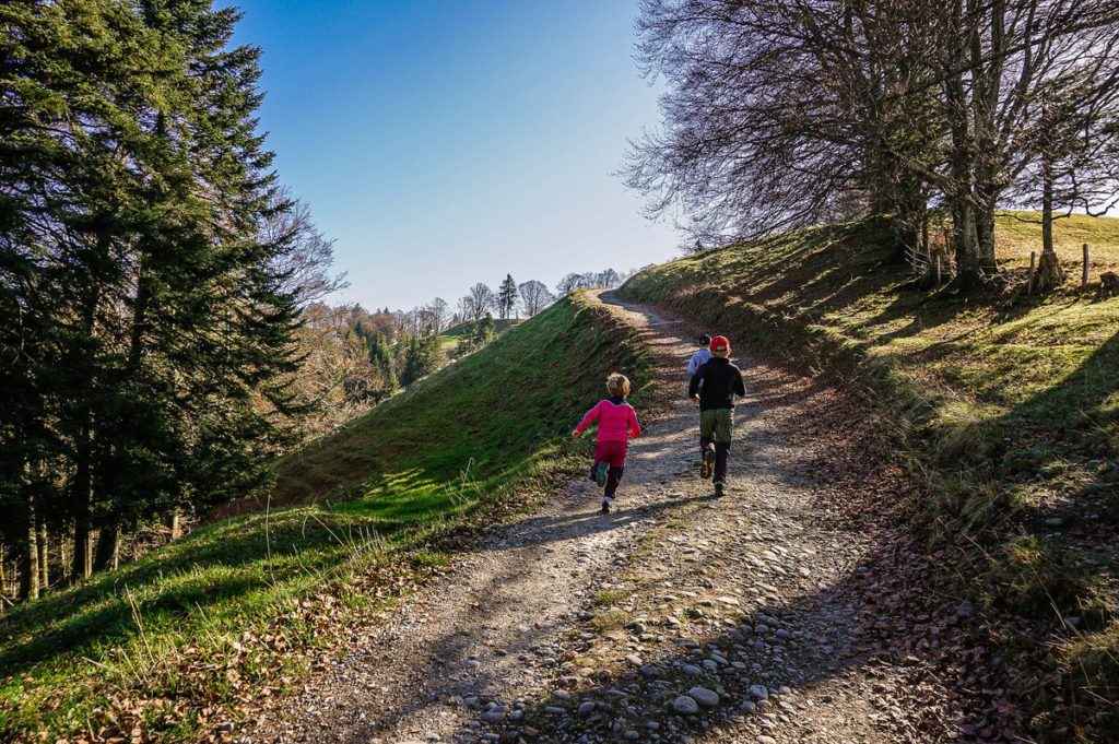
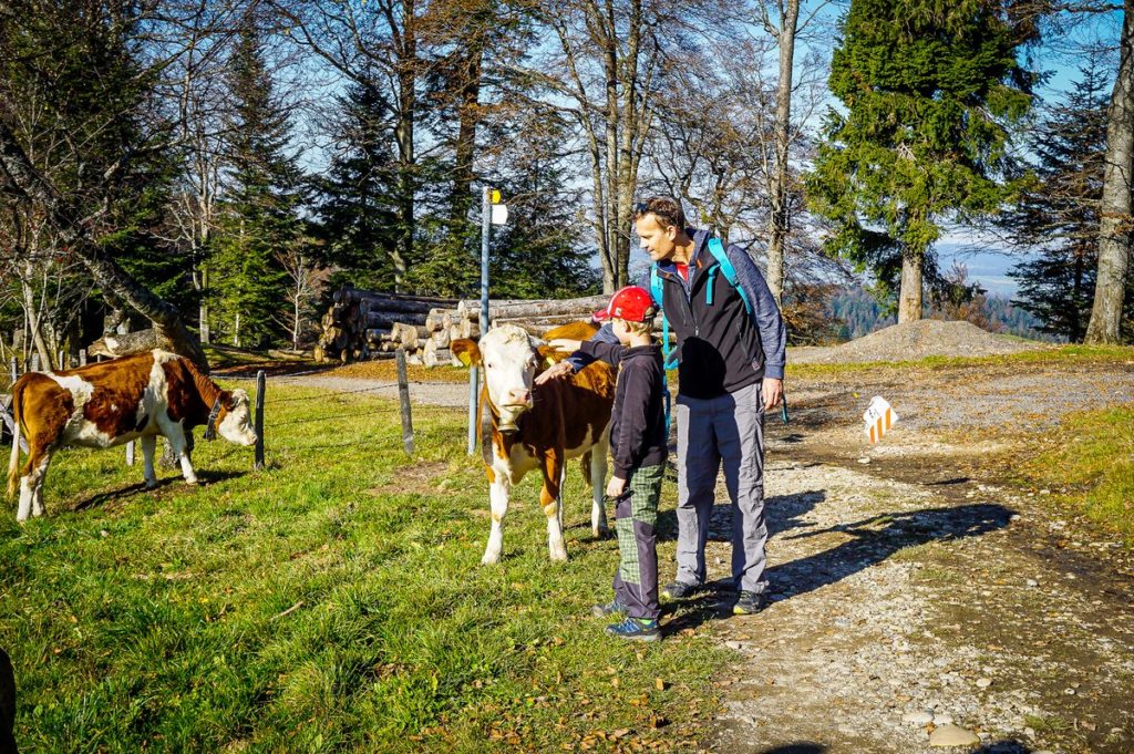
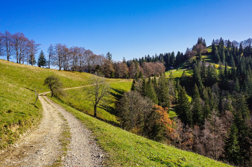
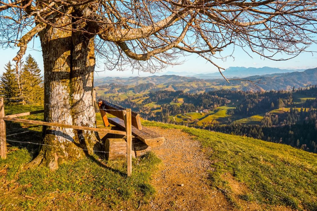
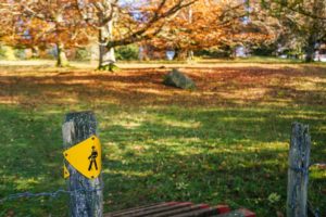
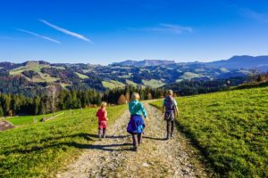
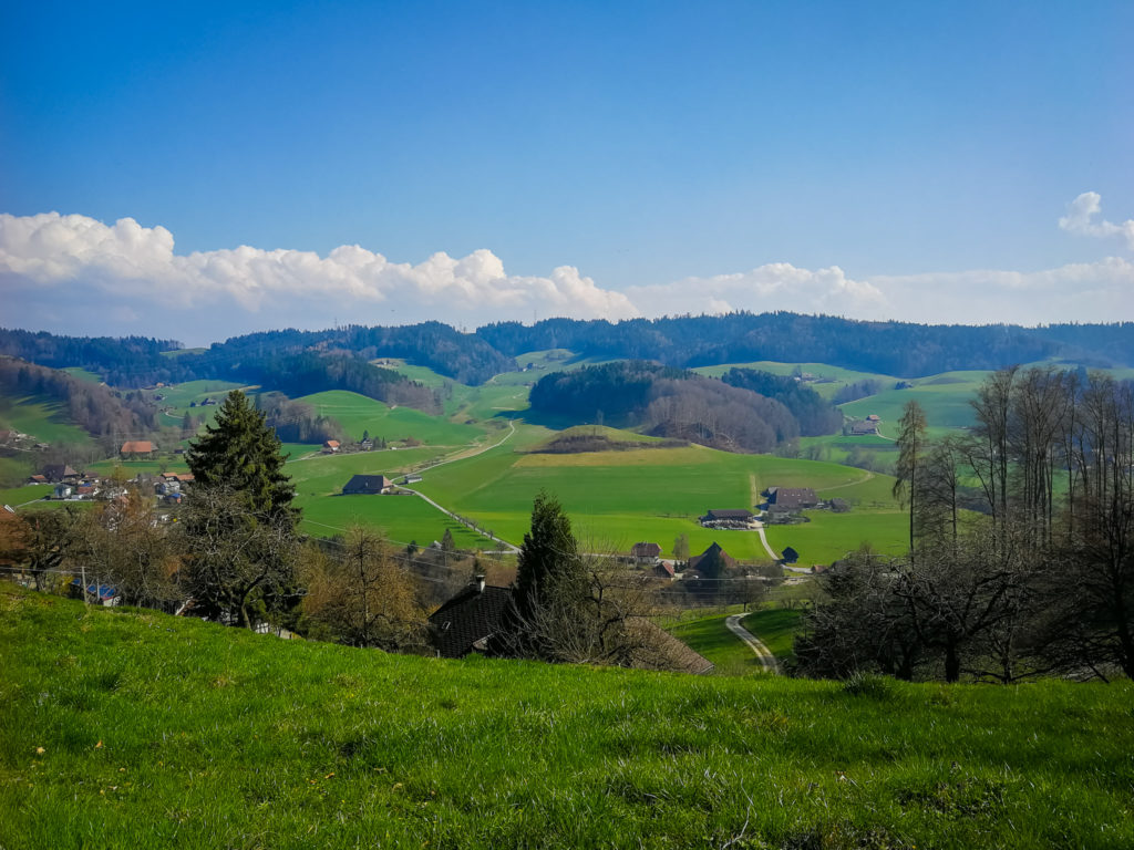
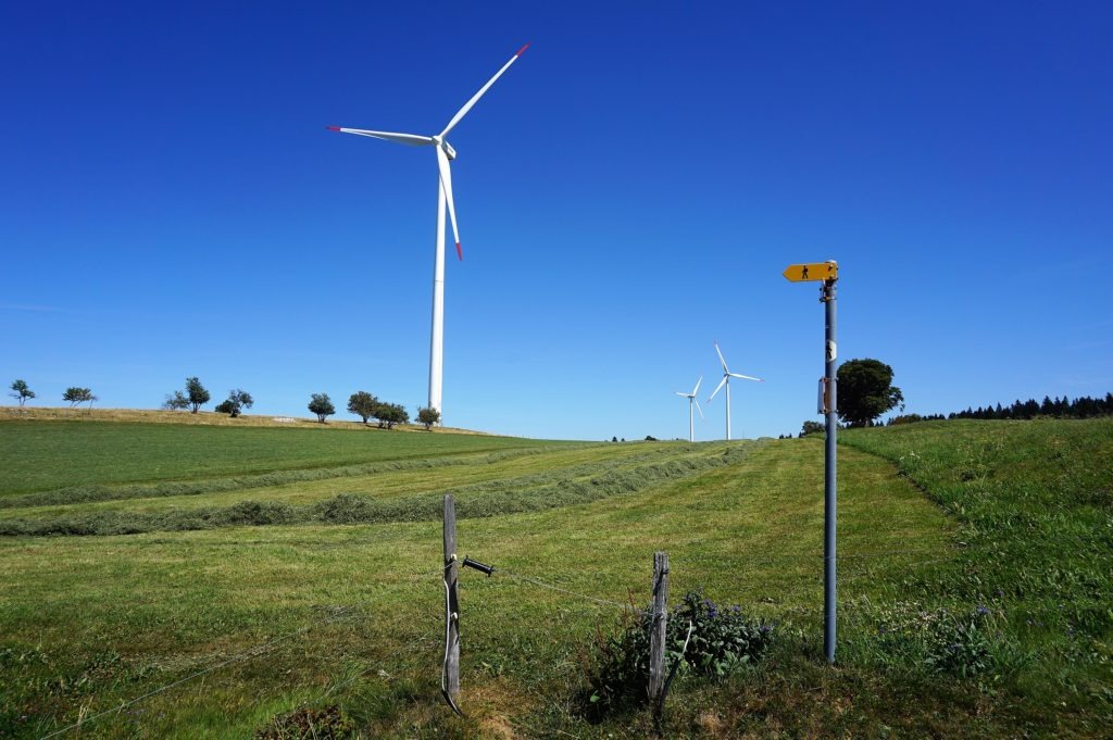
We had no plan for our trip, where exactly we would like to go, we took it only as such a “health walk” into nature, to soak up some fresh air. Obviously, we were not the only ones who had this idea on Monday afternoon. Ahornalp seems to be a popular place for Swiss seniors for an afternoon stroll. Because we met a good thirty of them during the two hours we spent here. But I’m not surprised! It is a really beautiful place and there are several options where to go to. We were just following the sign for route no. 65 (I will get to that below) in the direction of Napf.
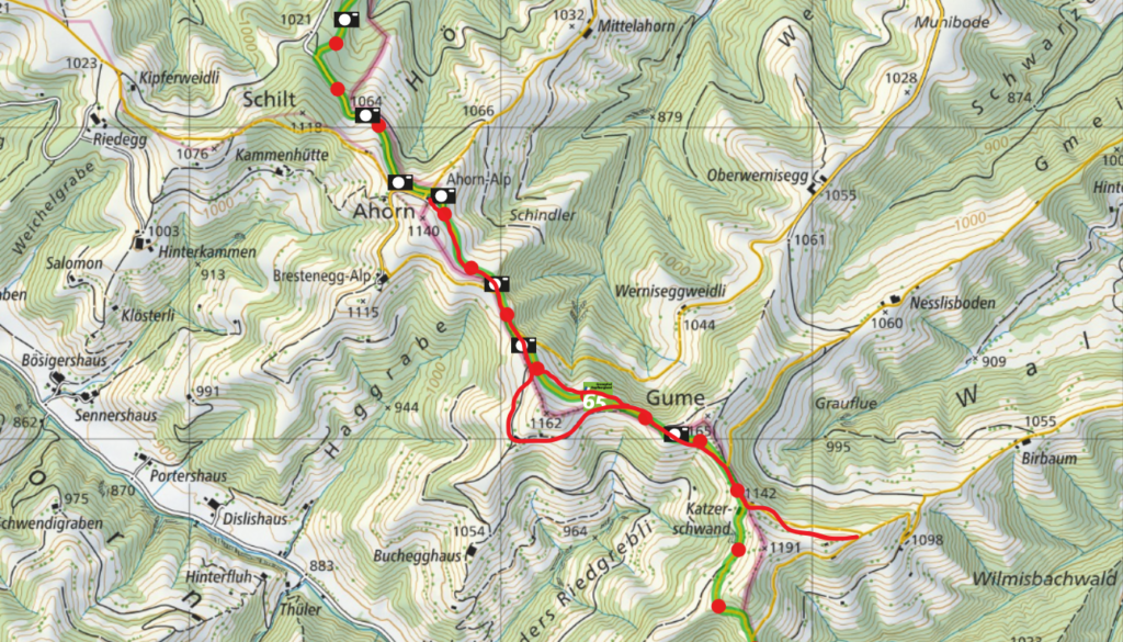
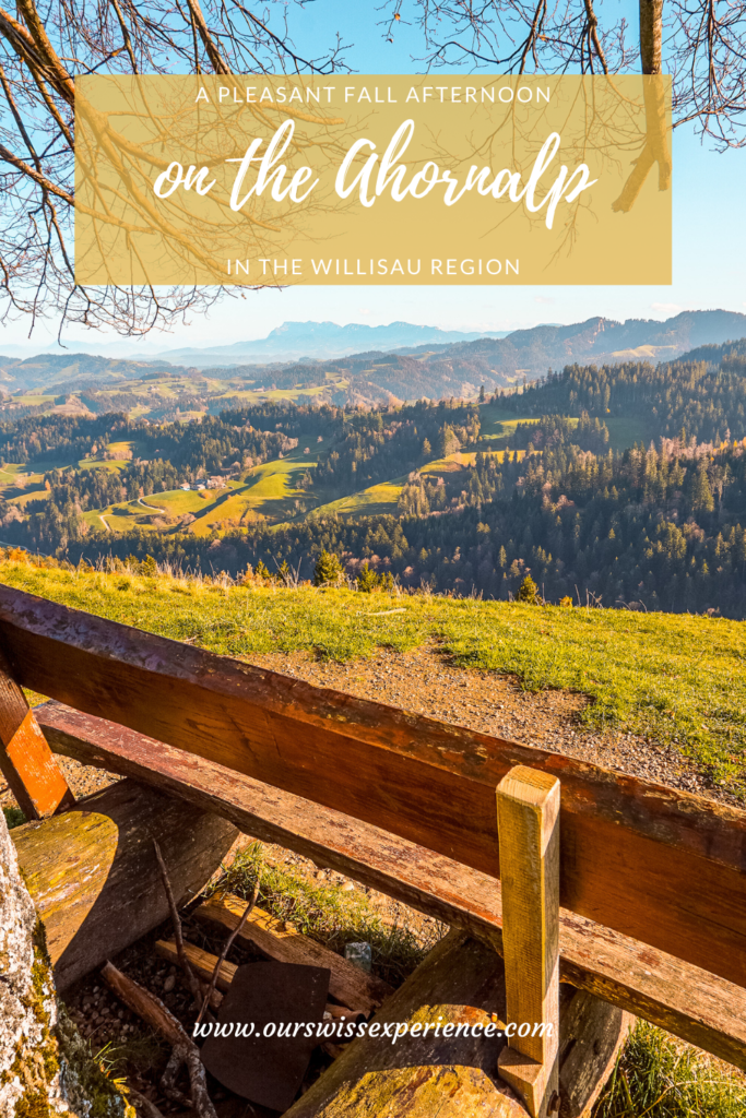
The approximately two-kilometer route from the Ahornalp restaurant to the lookout point just to the left behind the Chatzerschwand signpost is undemanding, almost flat, along a wide path. I would definitely recommend it even with very small children and it is doable with a stroller (in one place you will only have to cross a mountain bike ramp). It reminded me of our trip to the nearby Lüderenalp area – I basically felt like I was there.
If you don’t want to go there and back again, you can take a short loop from the Ahornalp restaurant to the next restaurant – Brestenegg-Alp. (here they have Ruhetag on Wednesday and Thursday for a change). The loop marked in the picture below measures about a kilometer and a half.
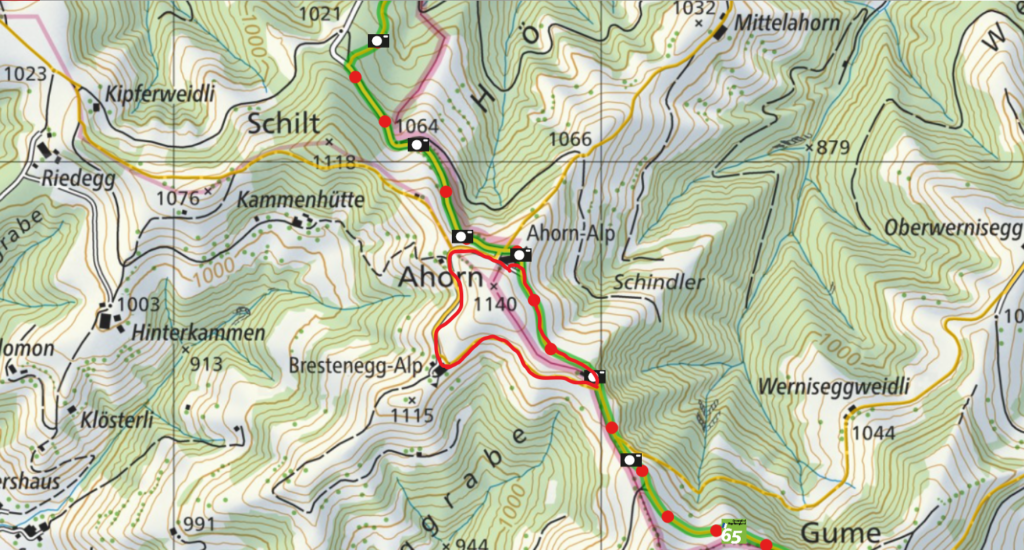
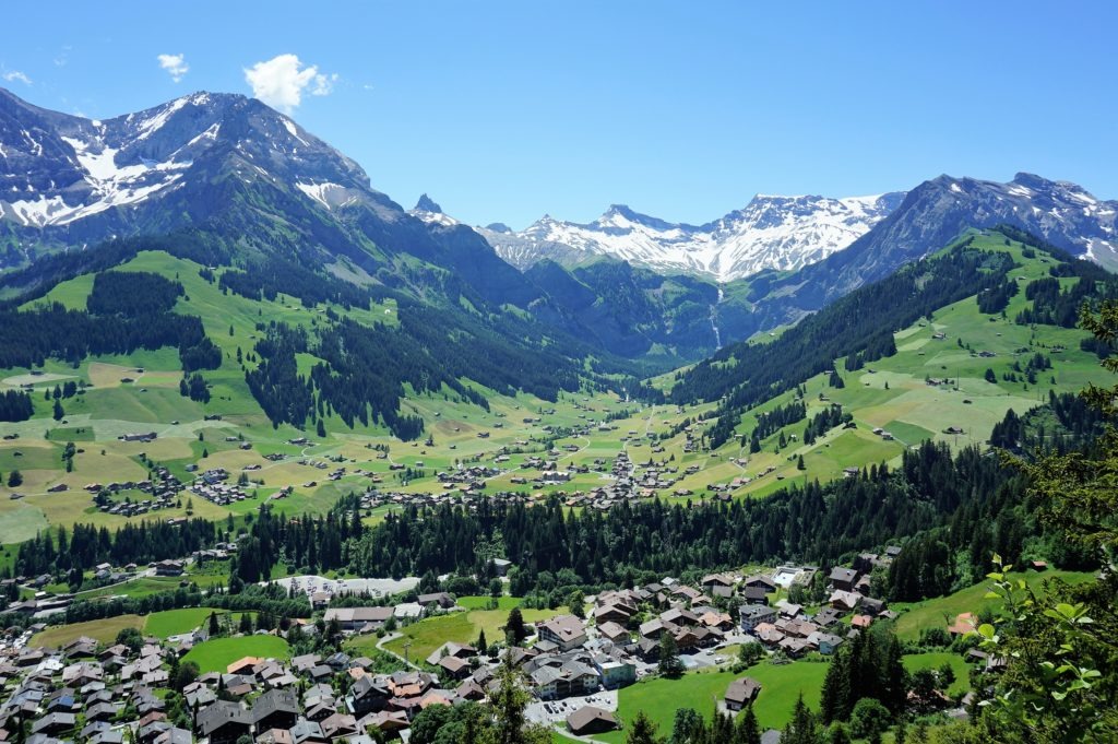
And the other way round, if you don’t mind, you can set off from here on a more than three-hour hike to Napf, which with its location is 1,408 m above sea level the highest peak between the Emmental and Entlebuch areas and lies on the border of the cantons of Bern and Lucerne.
Bordertrail Napfbergland
The 115 km long Napfbergland border trail, which has 6 legs, was opened in 1998 on the occasion of the 150th anniversary of the modern Swiss Confederation. It leads from Langenthal in the Oberaargau region in the central Swiss plateau (Mittelland) through a beautiful landscape over the above-mentioned Napf peak to the Brienzer Rothorn (2350 m a.s.l.) and from there to Brünig. As you travel through the Napf, Emmental, and Entlebuch regions, you will enjoy countless views of the diverse landscape between the cantons of Bern and Lucerne. Thanks to good public transport connections, the individual legs are also ideal for day trips.


I am a member of


Map of activites

Podcast
You may be also interested in
Social Media
Categories
Subscribe