


No, I’m not kidding, we really headed to the end of the world on our last trip. Although the original plan was completely different. I originally planned to go to the iconic rock wall of Creux du Van in the canton of Neuchâtel, but this trip was ruined my husband’s healing torn muscle. And Plan B was ruined by the weather because in the lowlands there had been such fog, so the hike through the gorge of the Areuse River had to be postponed. So I came up with Plan C – a hike over a sea of fog to the Jura Mountains above Biel.
Getting there
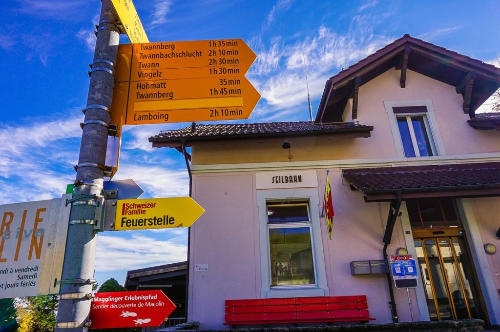
This trip includes two funicular rides and one train ride. The start is in Biel at the Magglingenbahn funicular. It is located about 10 minutes walk (800m) from the train station in Biel. However, we arrived in Biel by car and left it parked in the parking lot in Seefelsweg directly opposite the cable car station. The parking fee is 1.70CHF/hour, 3.40CHF/2 hours, every additional hour 1.10CHF.
A one-way ticket for the Magglingenbahn funicular costs 7.40CHF, with a Halb-fare Card 3.70CHF. The funicular runs every quarter of an hour. After walking about 10.5 km on this hike, you will reach Prêles, from where the next Vinifuni funicular will take you down to Ligerz. The cable car runs every half hour, always in a .15 and .45. Here is a one-way ticket 5.60CHF, with Halb-fare Card 2.80CHF. In Ligerz you get on a train to Biel – the train station is located directly opposite the Vinifuni valley station and the arrival of the cable car and the departure of the train are synchronized. The ticket costs 7.40CHF again, with Halb-fare Card 3.70CHF.
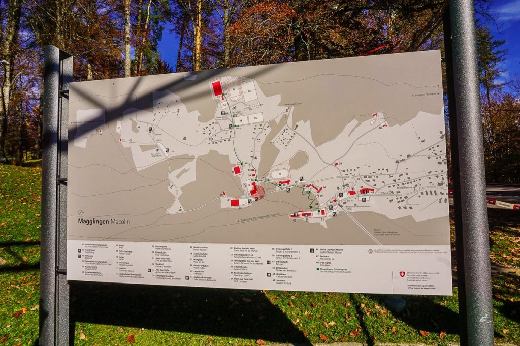
Magglingen – center for the sports elite
As we learned when we arrived upstairs, Magglingen is a huge sports center, which is not only the seat of the “Eidgenössischen Hochschule für Sport”, a training place for Swiss Olympians, but it is also a popular recreational area for the people of the region. And our Dominik tells you that there is a great track for tricks on scooters 🙂
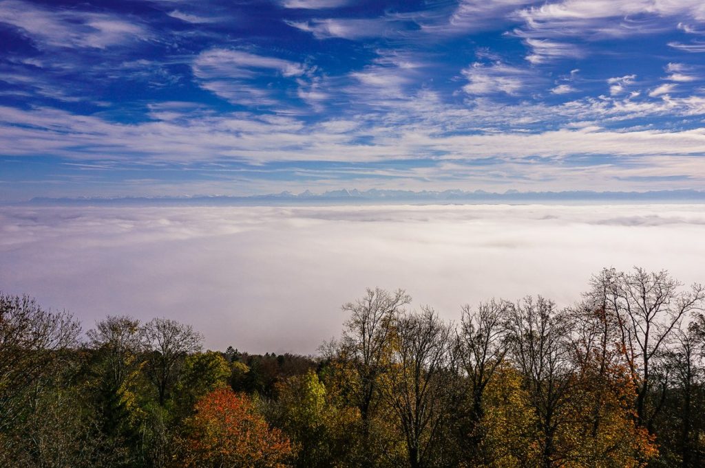
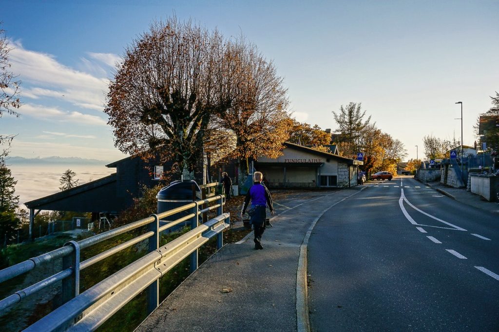
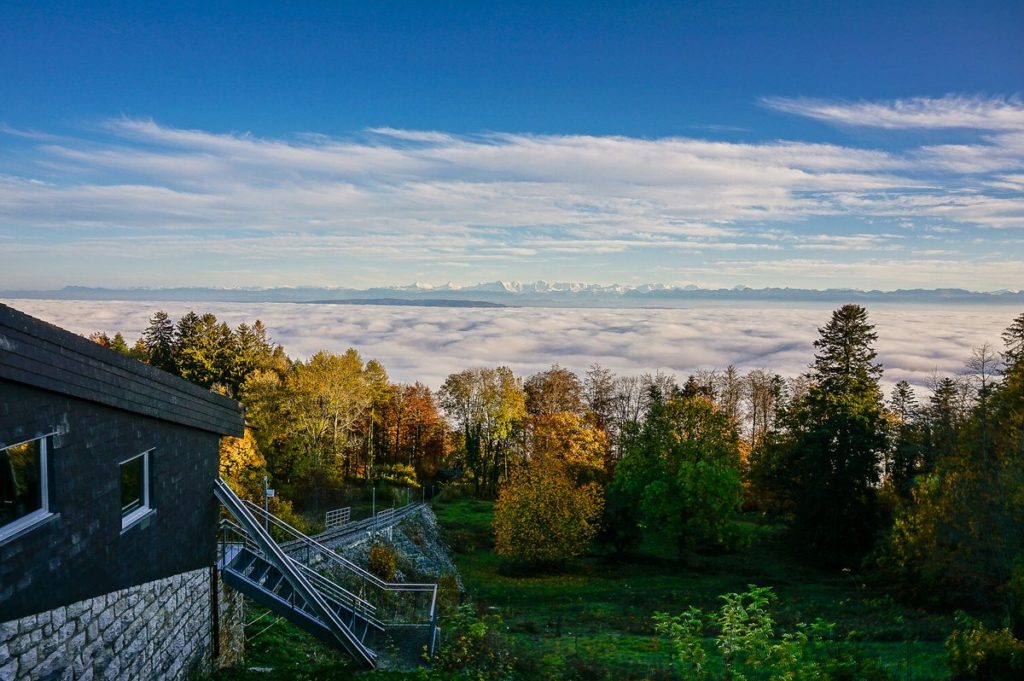
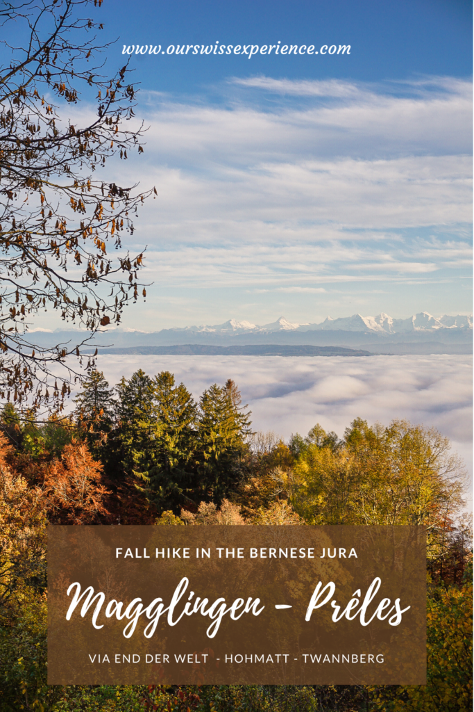
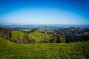
We stayed very close to the seat of the college, from where there was a wonderful view of the sea of fog in the valley and the alpine peaks in the distance. And then, according to the signpost, we set out for the end of the world.
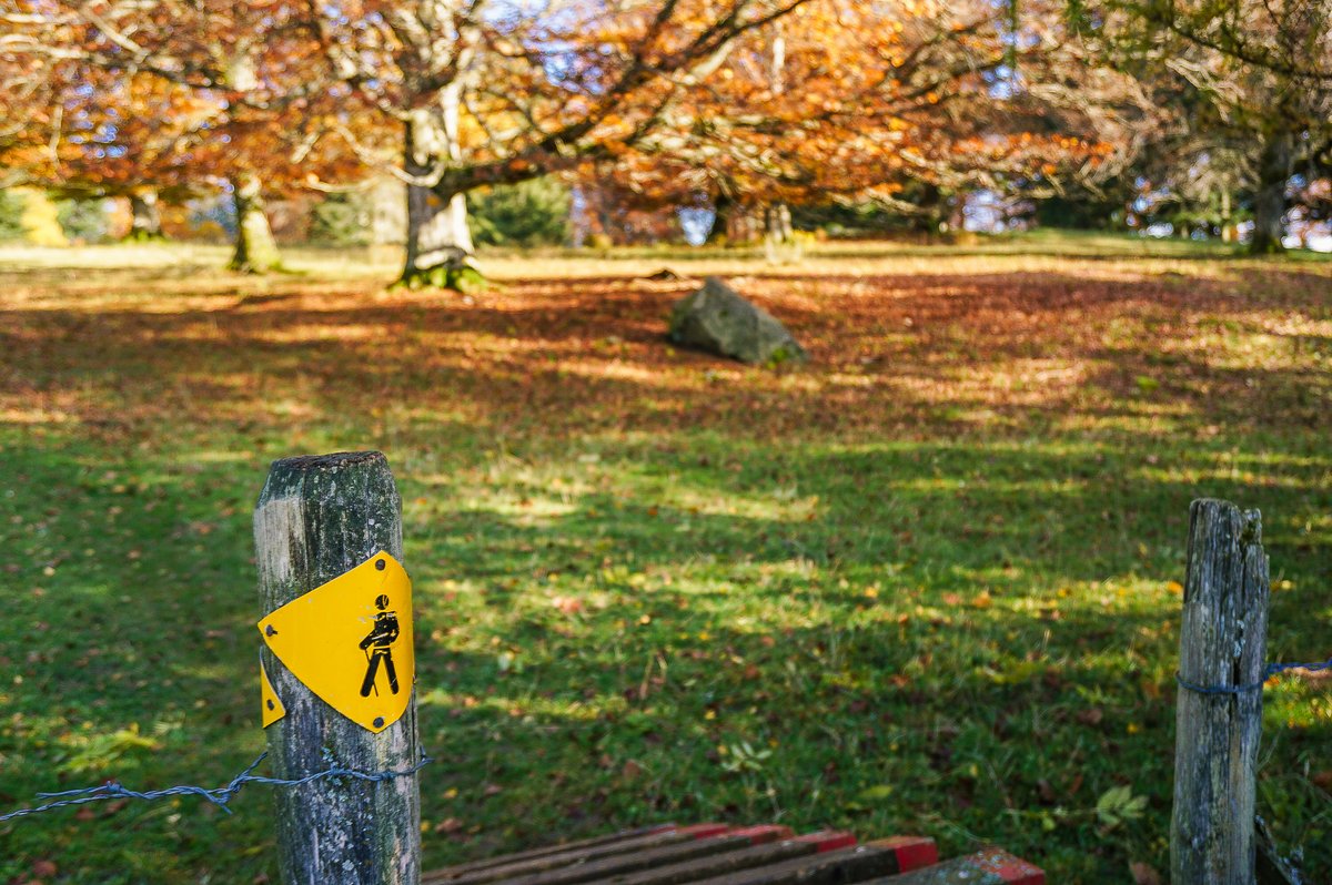
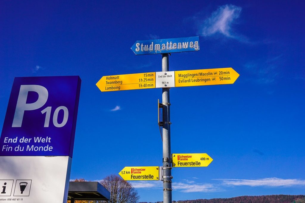
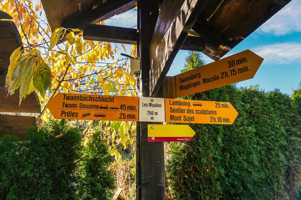
End of the world
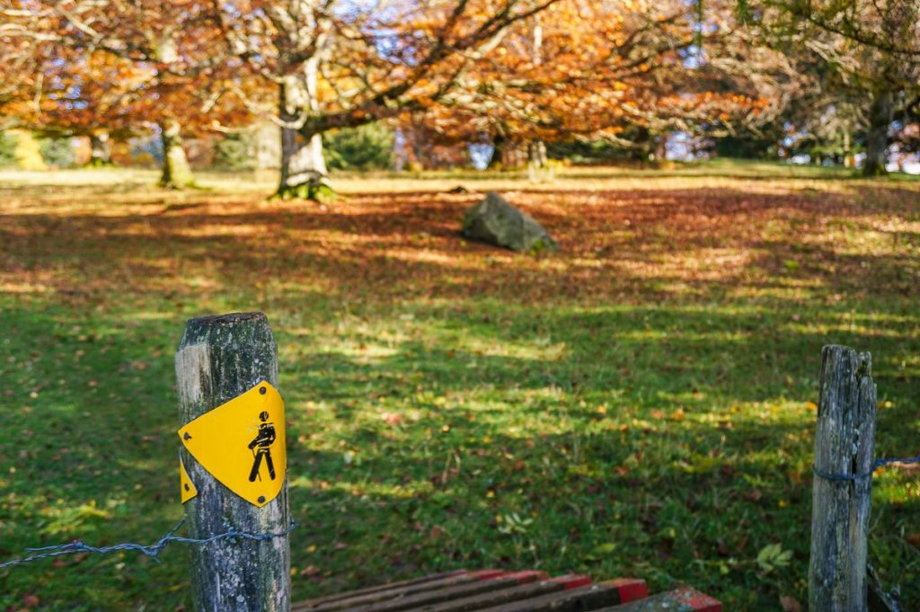
Of course, the name cannot be taken literally, however the sign tells 🙂
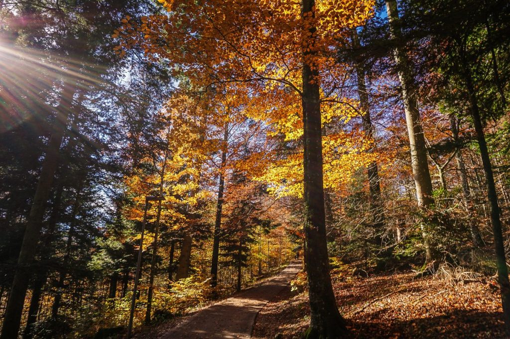
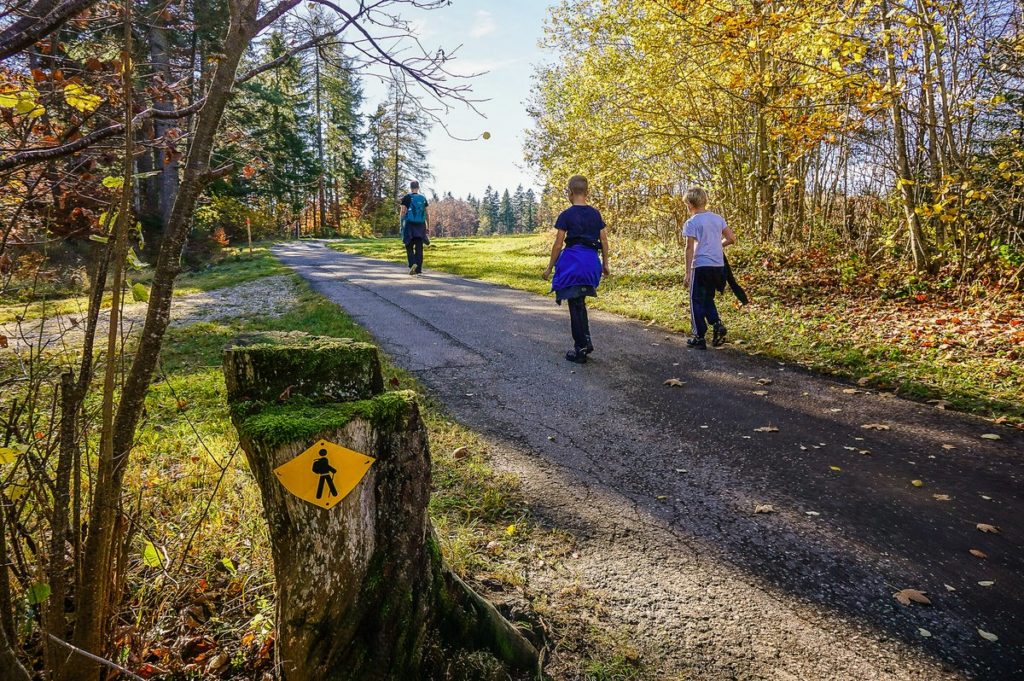
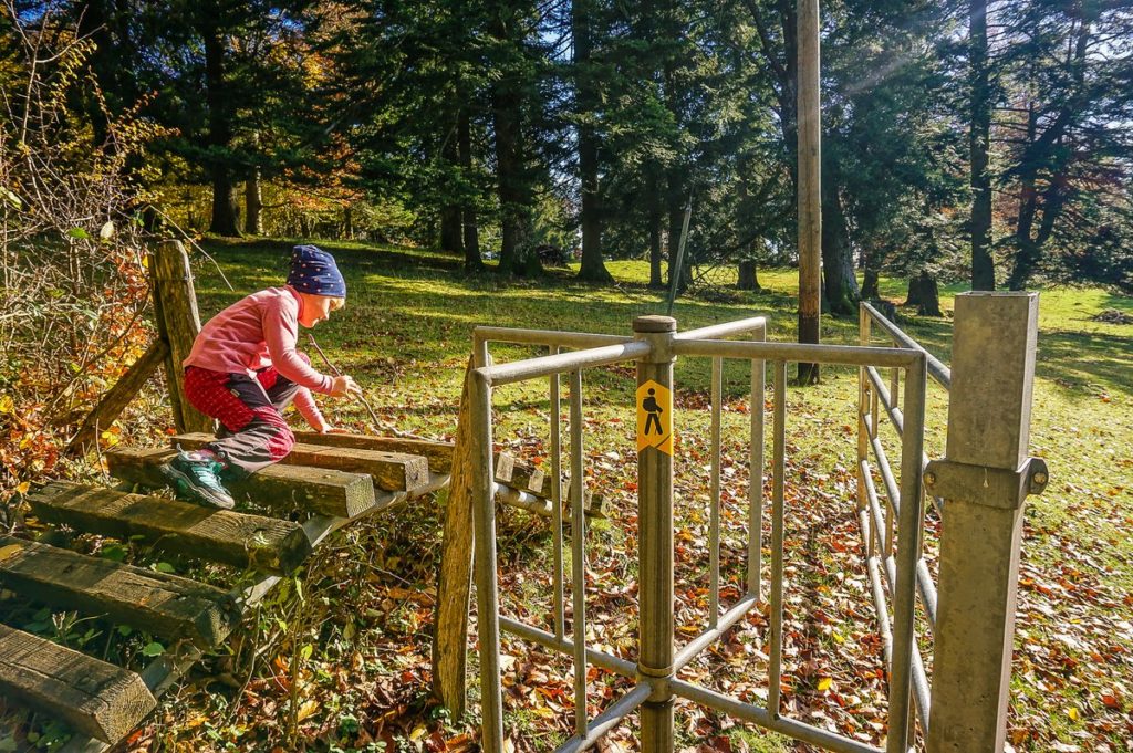
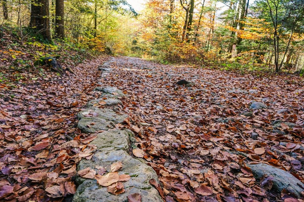
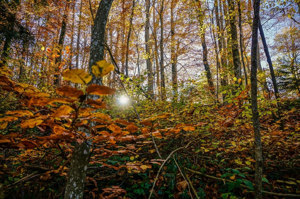
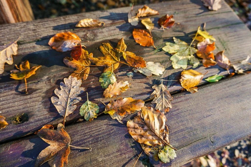
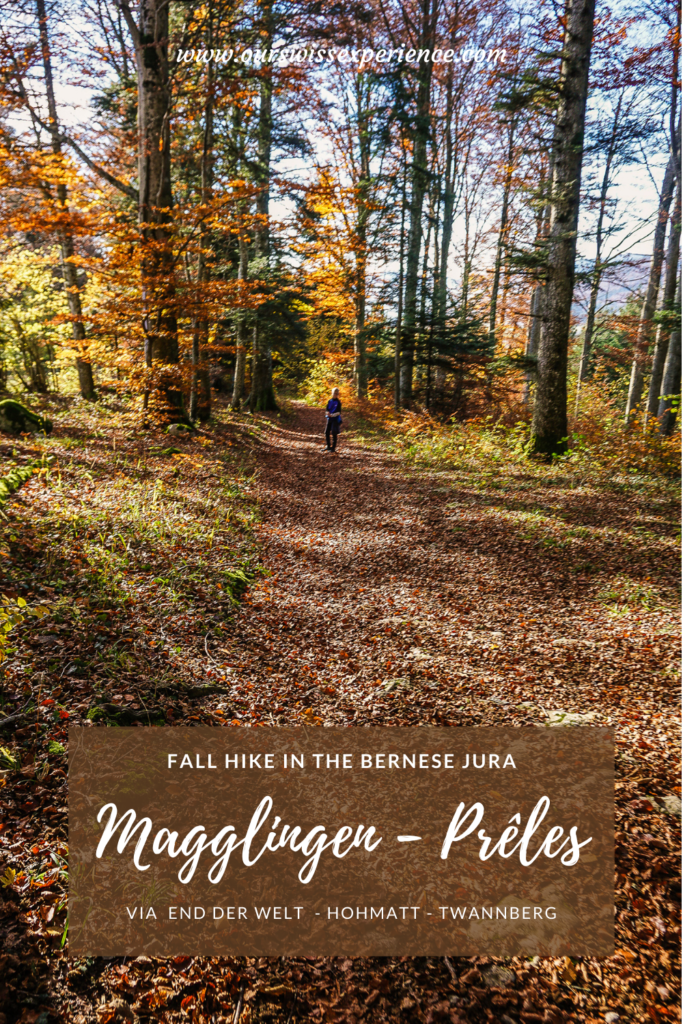
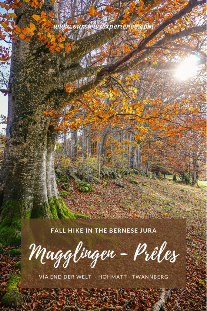
From here, turn left in the direction of Lamboing up a gentle hill to the Grillstelle Hohmatt. The route continues alternately through the forest, across the meadow, through pastures – exactly as you see in the photos.
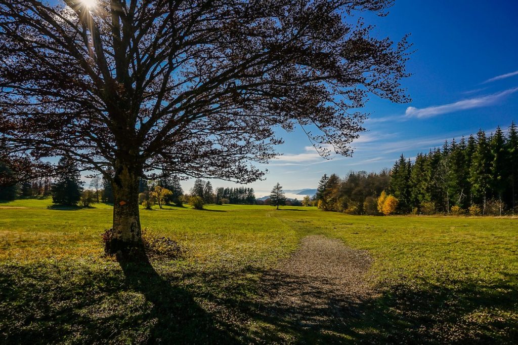
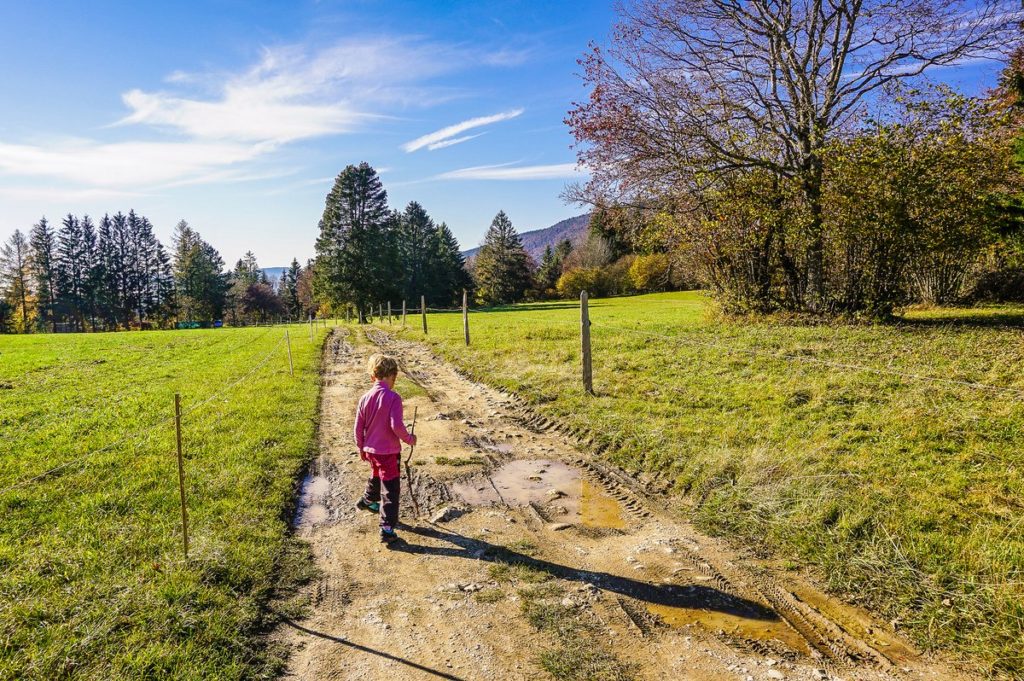
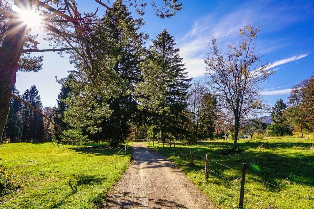
In addition, the road leads almost always straight and more or less always down a gentle hill, still in the direction of Lamboing.
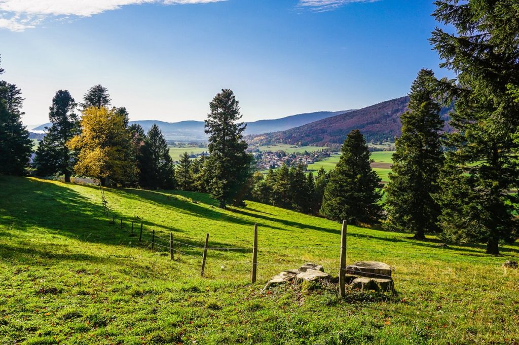
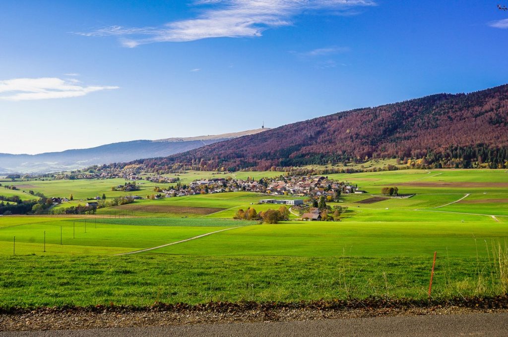
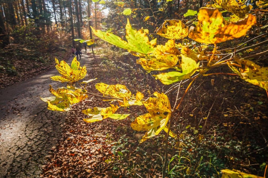
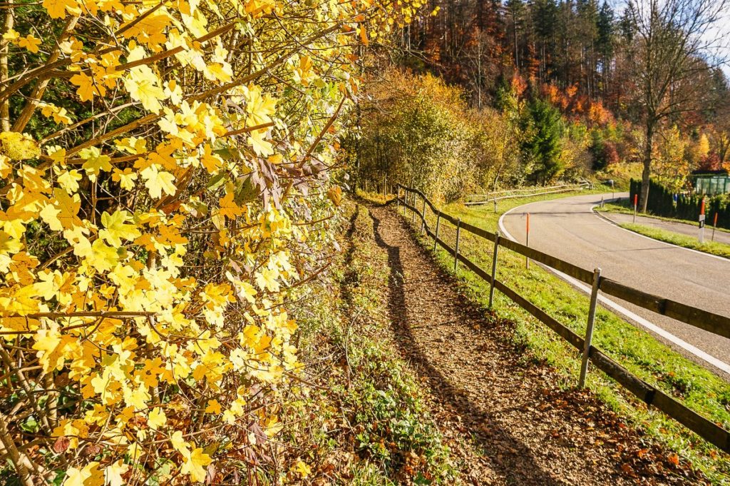
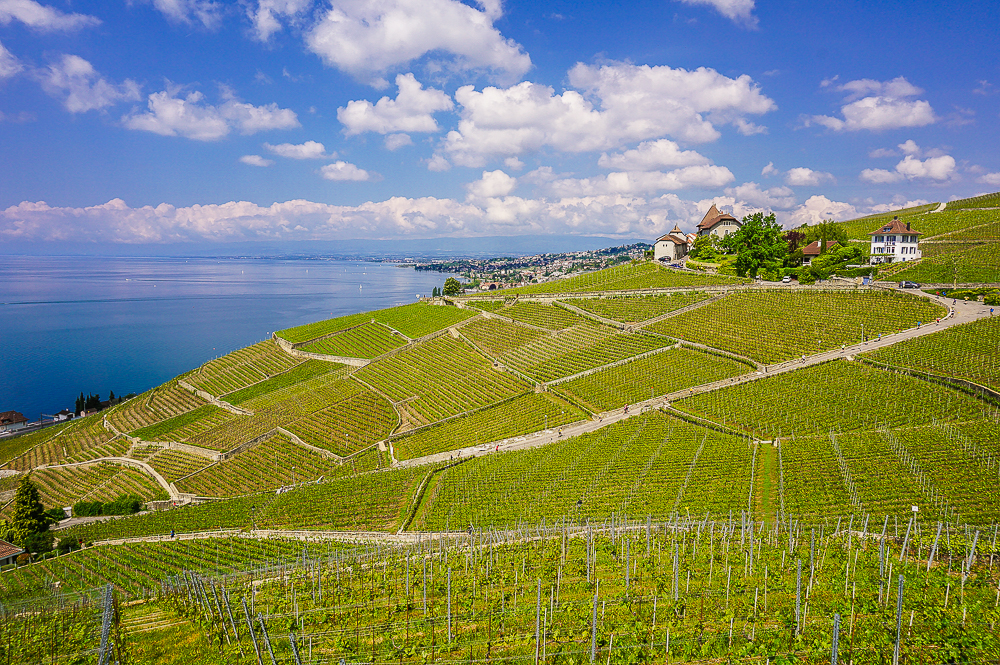
Only when you walk out of the forest after about 7.5 kilometers to the asphalt road and the view of the Plateau de Diesse and Chasseral opens up in front of you (see photo above) will you take the road to the left in the direction of Twannberg. After about 300 meters, turn right again into the forest in the direction of Prêles. From here, it’s about a quarter of an hour to the cable car station. I write “roughly” because even though the wide path here led downhill, we had to slow down a lot because there were slippery stones under the fallen leaves, on which we didn’t want to slip.
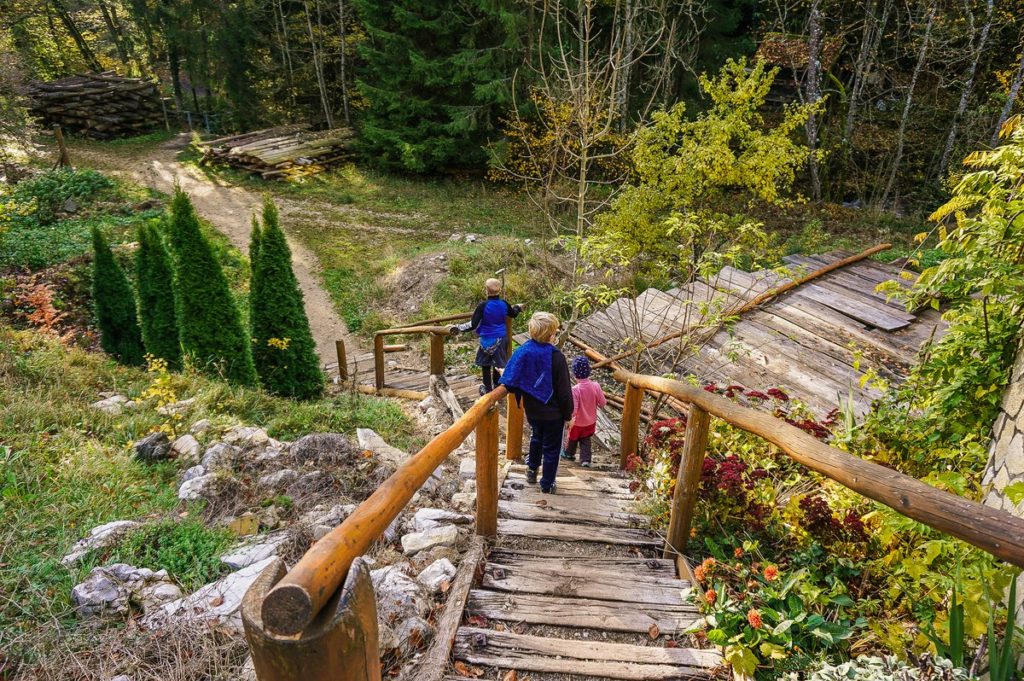
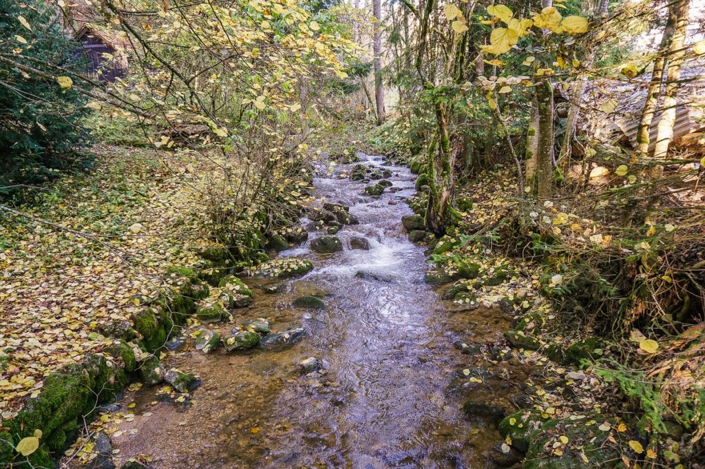
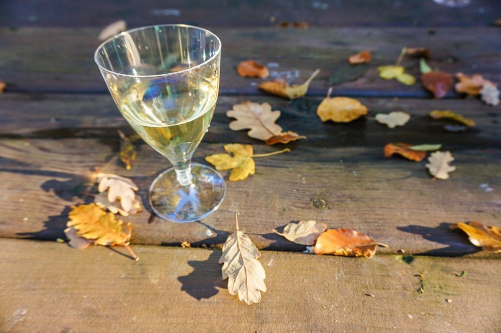
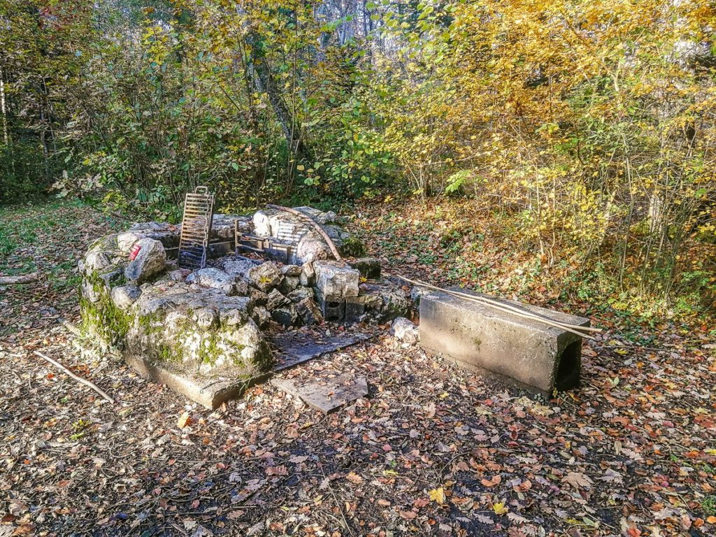
At the Zünd restaurant, we went down the stairs to the Twannbach stream, which we crossed over the bridge and started scratching up from the valley. As a reward for the effort, there was a roast pit at the top, where we could celebrate our 6 years in Switzerland.
The final section was already in the village of Prêles, which we had to go through to get to the funicular station. And even in that slight trot, so that we could catch up and not have to wait another half hour, we managed to enjoy the views over the sea of fog again.
Summary
- The route measures 10.2 km and I do not recommend it with strollers (in some sections there is only a narrow forest path through the roots, also the section from the Twannbach stream up is very steep).
- See the Tourenplaner from Wandermagazin SCHWEIZ for the 3D map.
You might also like in the area
Hiking with kids: Rebenlehrpfad – Vine nature trail at Lake Biel
Hiking with kids through the Twannbach gorge
St. Peters Island on the Lake Biel


1 Comment. Leave new
[…] 2. Jura mountains […]