


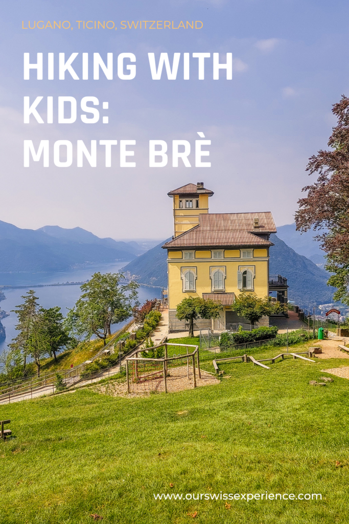
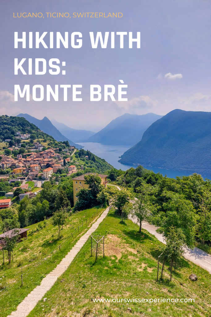
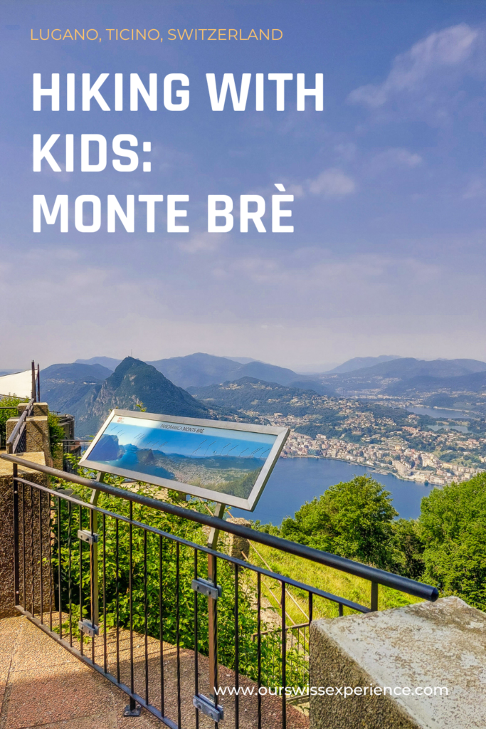
Hiking with kids: Monte Brè, Lugano
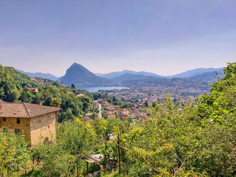
During our recent weekend stay in Reka Holiday Village in Lugano-Albonago, we also made a trip to the local peak of Monte Brè. It may not have the iconic shape of Monte San Salvatore, a sugarloaf jutting out of the lake, but you definitely shouldn’t miss a visit while you’re in Lugano with your kids.
Where is Monte Brè located?
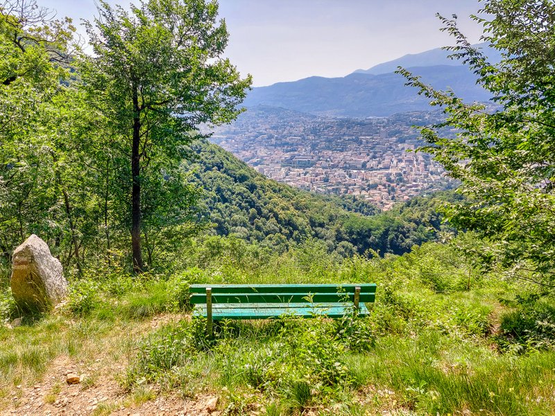
Monte Brè is a 933m high peak to the east of Lugano, overlooking the Bay of Lugano, the Pennine Alps, and the Bernese Alps. It is considered one of the sunniest places in Switzerland. After reaching Monte Brè, beautiful views await you and if you feel like a walk or a bike ride, there are several routes you can take.
How to reach Monte Brè
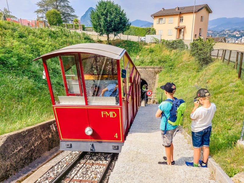
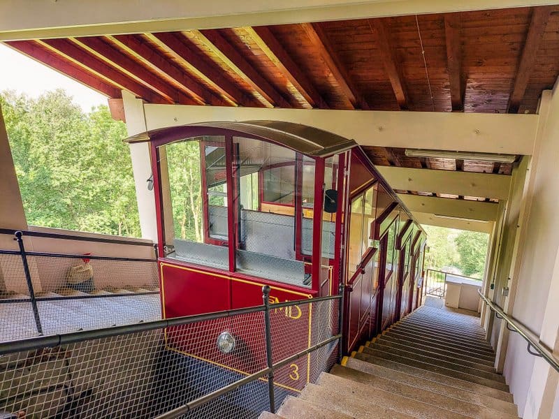
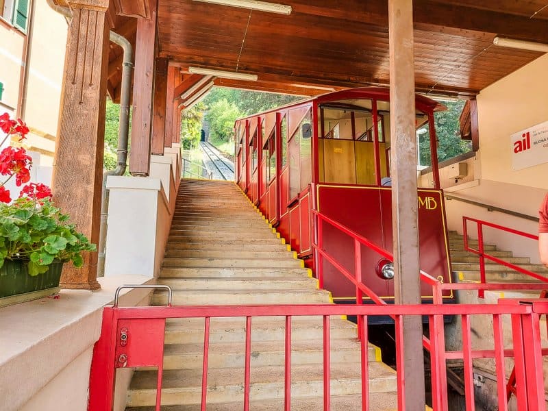
By funicular
The way up is in two stages: the first stage leads from Cassarate to Suvigliana station. Cassarate station is a short walk eastwards from the city center (about 200 meters from the bus stop of local lines 2 or 12, stop Casserate). This first funicular is automatic, runs every 15 minutes, and is free. Due to the turnstile, the entrance is not suitable for strollers – except for portable folding lightweight stroller.
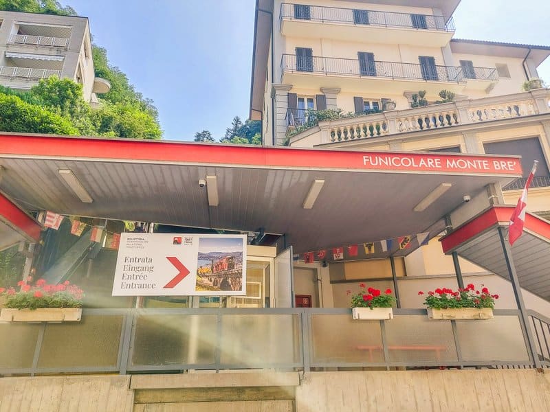
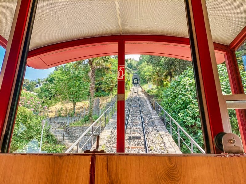
Then you have to change to the Funicolare Monte Brè funicular going to the top. At the Suvigliana station, you need to buy your tickets (or use the SBB or Ticino Ticket app). This funicular, which was put into operation in 1908, runs every half hour (always at all hour and a half-hour).
Price: return ticket adults CHF 25, children (6 – 16 years) CHF 12,50, children under 6 ride for free.
With a Ticino Ticket or Holiday Card, you get 30% off the regular price, so for a return ticket, you pay CHF 17.50, with a Half fare card or MyLugano Pass you get 50% off.
By car
The road from Lugano is narrow and full of switchbacks, sometimes you have to reverse to let other cars or a bus pass (listen carefully before the turns to check if you hear the horn of a bus going in the opposite direction). In the village of Brè Paese, there is a paid parking lot. From here you have to walk to the top. It’s about a 25-minute walk uphill and you have to hike up the stone steps.
By bus
You can also take a bus to the village of Brè Paese. From Lugano, Centro stop, bus line 12 runs. The journey takes 27 minutes and may not be as fancy as the funicular (although it is quite adventurous thanks to the serpentines), but one-fourth the price.
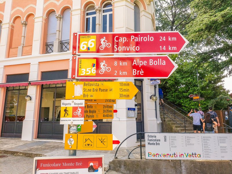
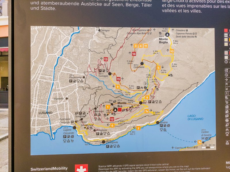
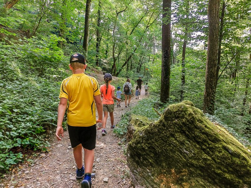
Hiking option 1: an easy walk around the peak
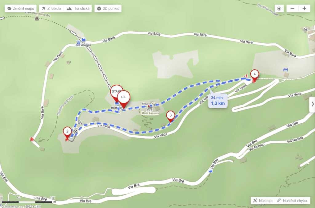
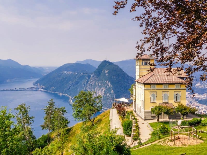
This easy walk starts right at the funicular exit. Head in the direction of Bellavista and you will reach Ristorante Vetta, which is said to offer the most beautiful panorama in Switzerland.
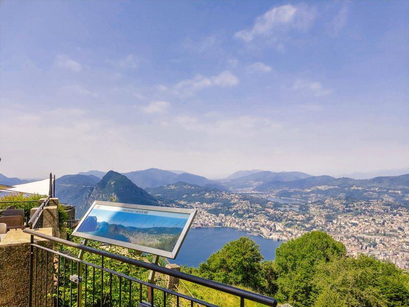
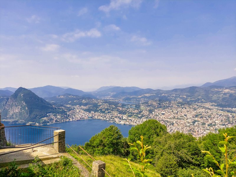
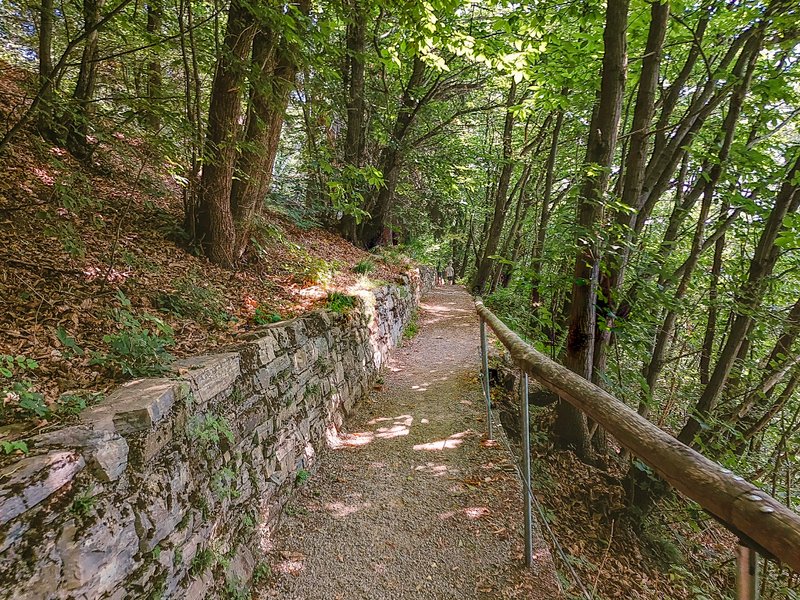
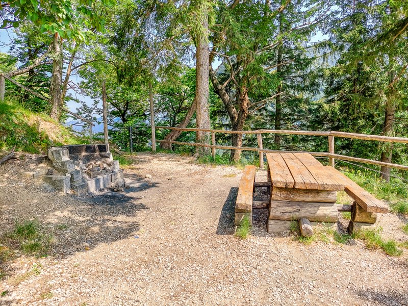
From the restaurant, you will then walk past the playground towards the woods along Sentiero delle Betulle. After less than ten minutes of walking, you will reach the “crossroads” with the Scalinata alla Torretta stairs. Before turning back to the top, turn right and descend the steps to the viewpoint. From here you will have another beautiful view of Lake Lugano.
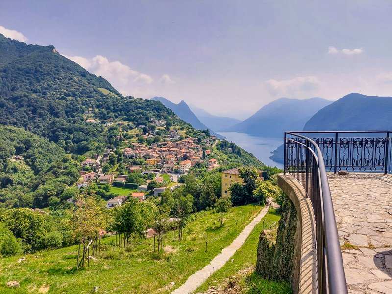
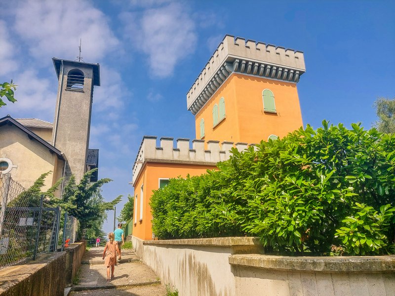
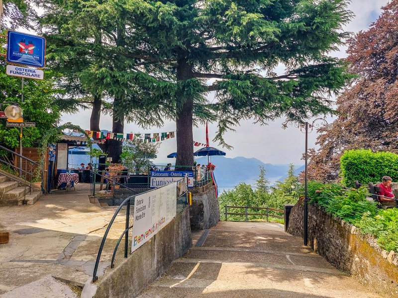
At the viewpoint, you will find a small fountain with drinking water and a nice picnic spot in sight. Afterward, take the stairs uphill until you reach the church of Maria Assunta and back to the funicular station. Opposite the funicular station, you will also find the Osteria Funicolare restaurant with a terrace.
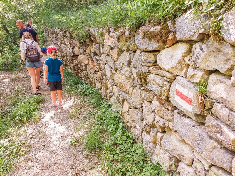
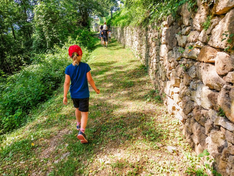
Hiking option 2: descent from Monte Brè to Albonago
Those who would like a slightly longer and more demanding hike can choose to descend from the top back to Lugano, or rather to Albonago, the mid-station of the Funicolare Monte Brè.
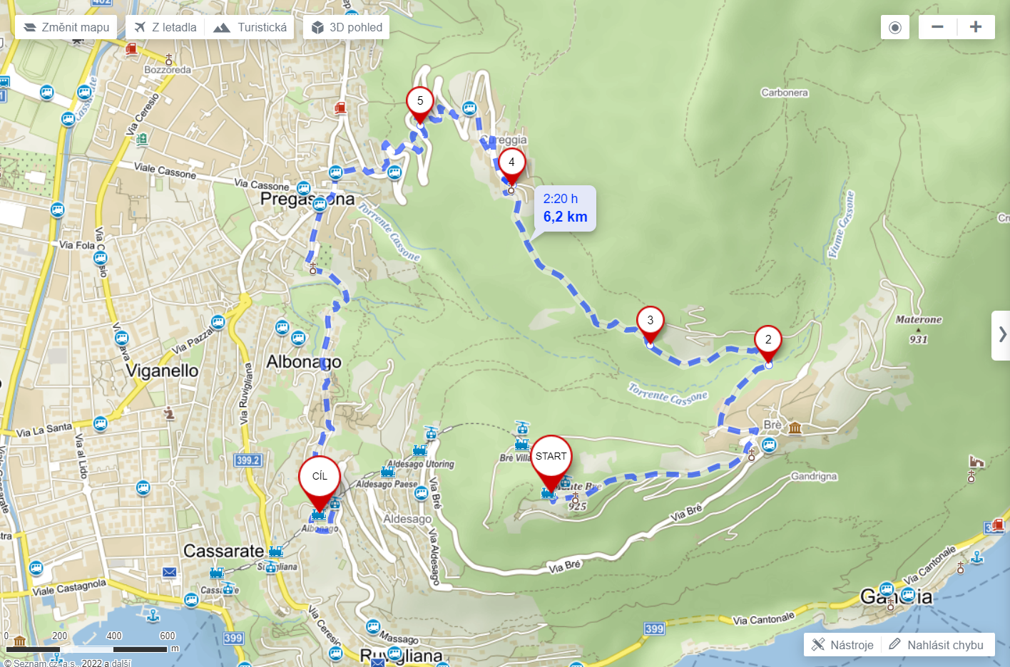
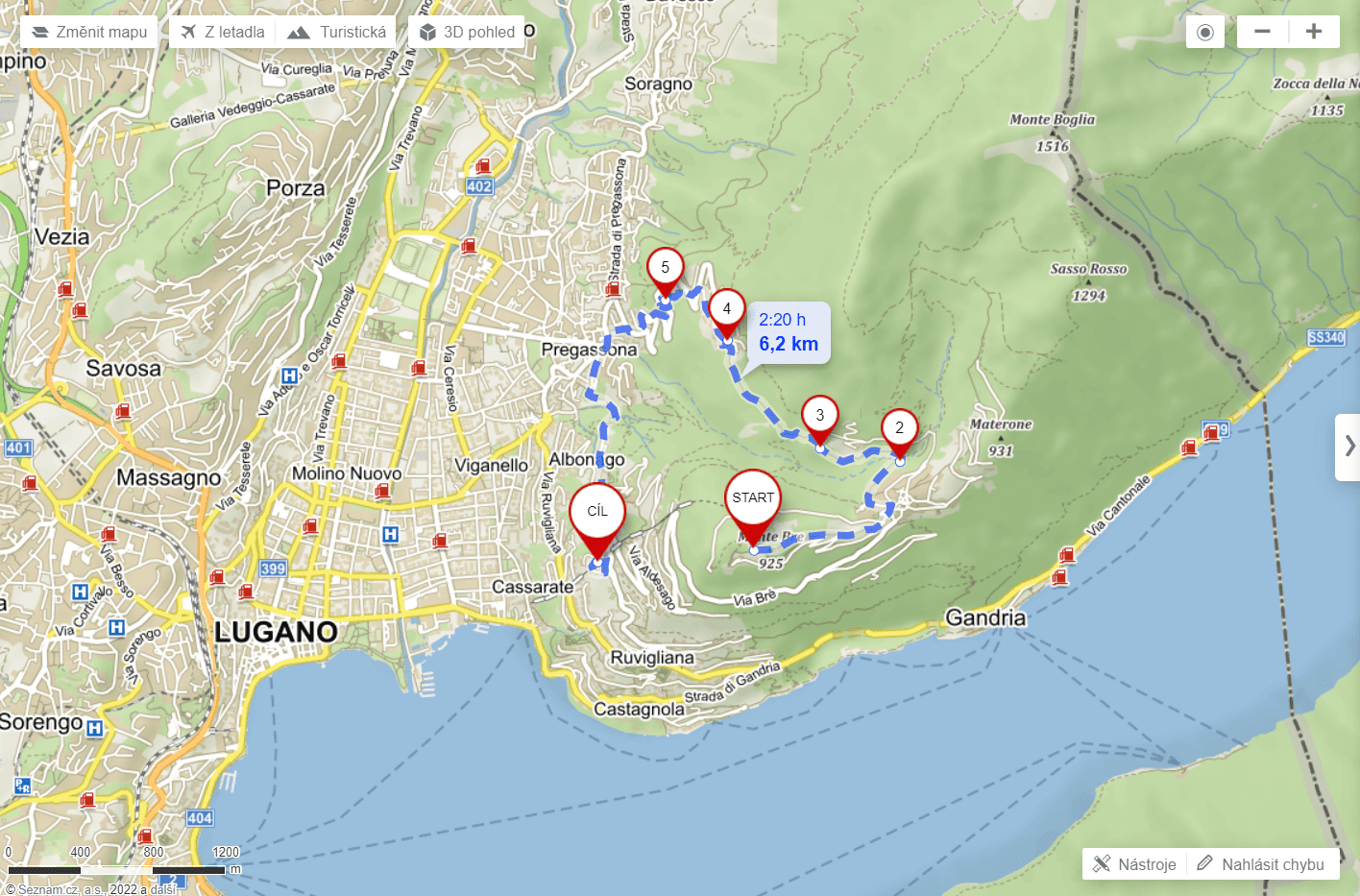
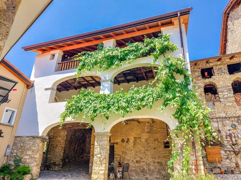
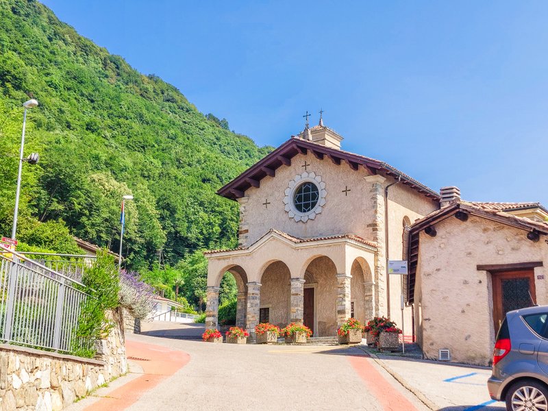
From the funicular, you will go directly to the church of Maria Assunta and then continue down the steps of Scalinata alla Torretta past the aforementioned viewpoint to the village of Brè Paese. Here you can stop for a while, as the village has preserved the character of an ancient rural village (you will find here, for example, a traditional Ticino house with wooden beams) and has been gradually enriched with numerous works of art. The decoration of the town center with several works of art is intended to introduce the general public to this charming village, where artists such as Pasquale Gilardi (1885-1934), Wilhelm Schmid (1892-1971), and Josef Birò (1887-1975) lived.*
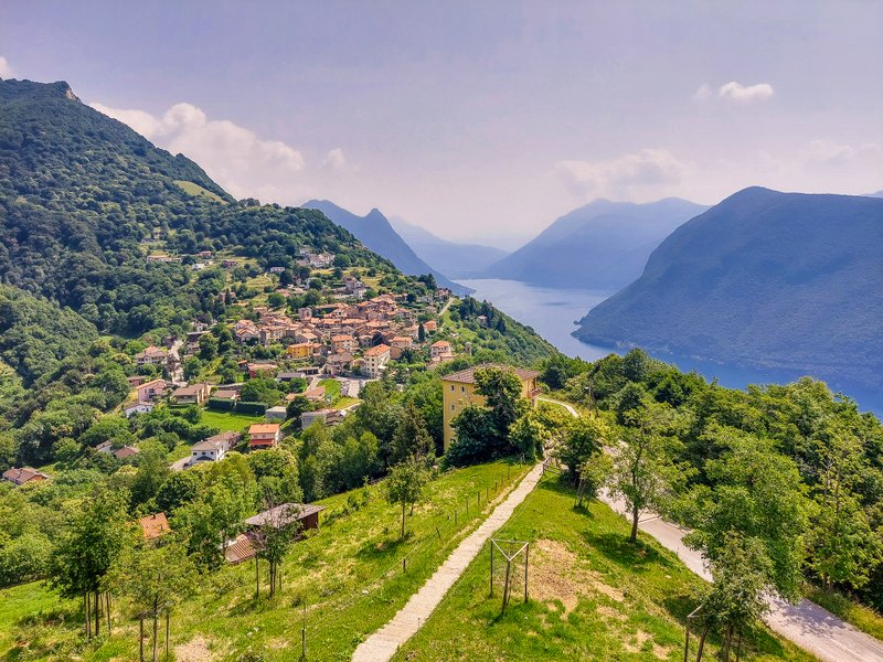
From the village, head in the direction of Cureggia. After practically a few dozen meters, you’ll reach a pleasant shaded forest, from which you can occasionally catch a glimpse of Lugano.
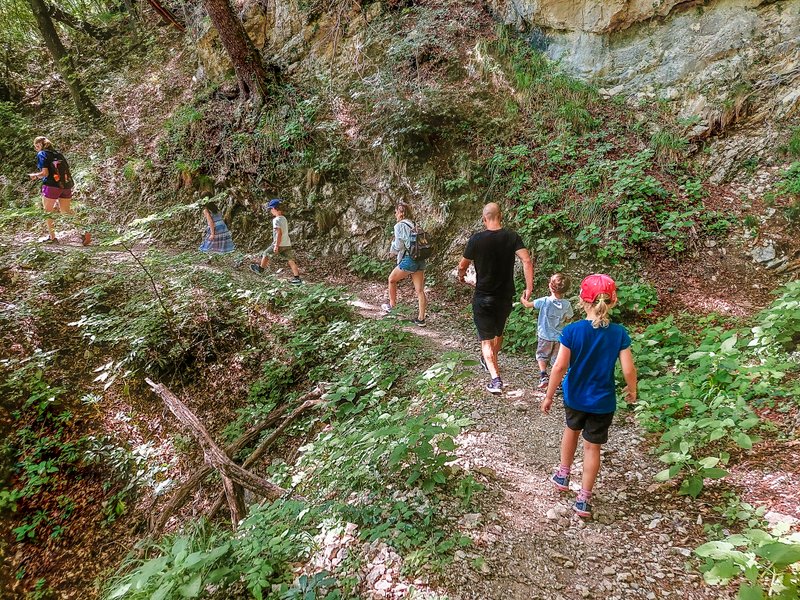
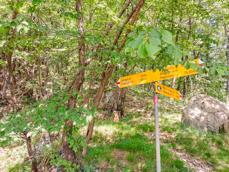
After about two kilometers you will reach the village of Cureggia.
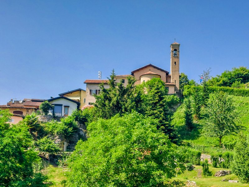
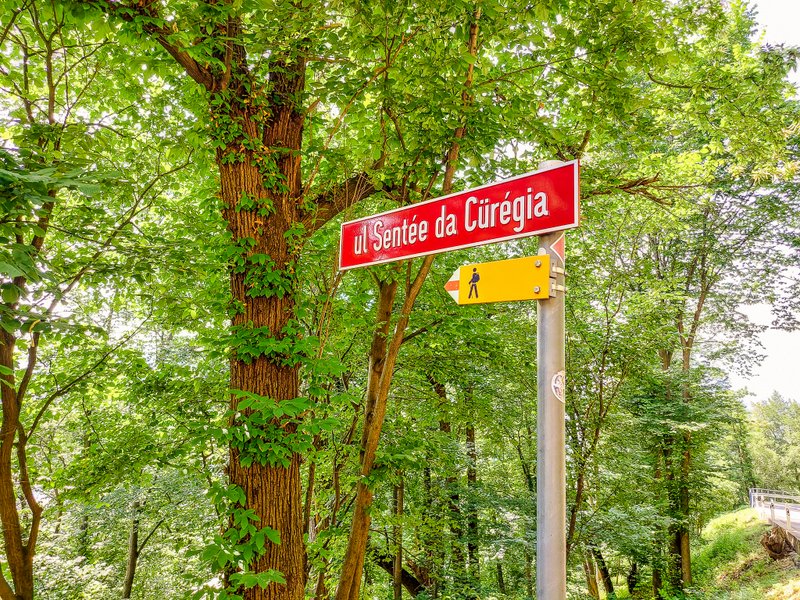
From here you will descend back to Lugano. It’s mostly down the steps of ul Sentée della Cürégia. Be careful in one section, the route is a short distance along the road. After another less than two kilometers, you will come to the village of Pregassona. From here you can either catch bus 7 to the Lugano, Centro stop or continue on to Lugano, Albonago.
Summary
- Neither of the trails is suitable for a stroller due to the number of steps.
- Another hiking option: walk down to Gandria and then follow the Olive Trail to Lugano.
Categories: hiking


I am a member of


Map of activites

Podcast
You may be also interested in
Social Media
Categories
Subscribe