


Wiriehorn with Kids: Geology Trail and Ride on Scooters in Diemtigtal Nature Park
I have to admit that geology has never been one of my favorite subjects. When I was in high school and deciding which subjects to take for my final exams, I was briefly tempted by geography. I enjoyed learning about countries, cities, and cultures, and dreaming of traveling the world. But then I found out that the exam wasn’t just about maps and interesting facts about nearby or distant countries, but also about geology, rocks, the formation of mountain ranges, and geomorphology. And the idea that I’d be studying rocks instead of planning a visit to the Empire State Building in New York definitely turned me off geography back then.
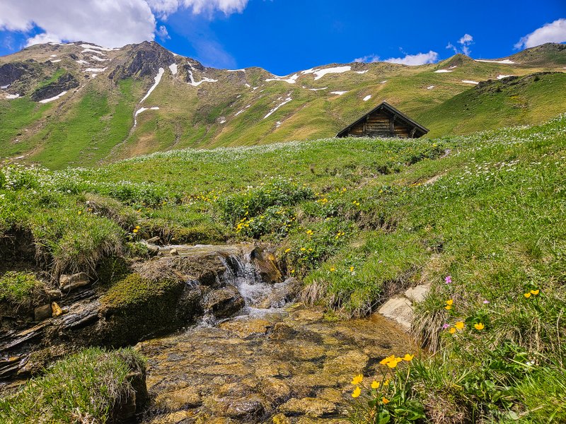
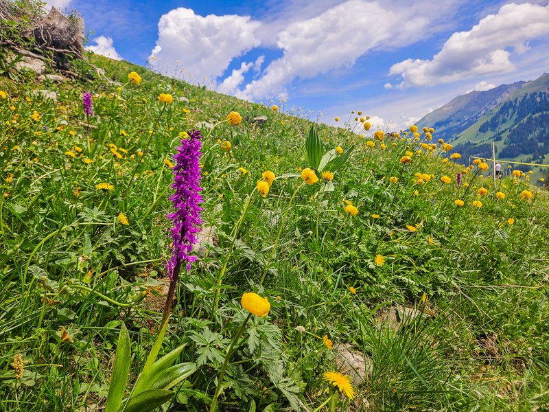
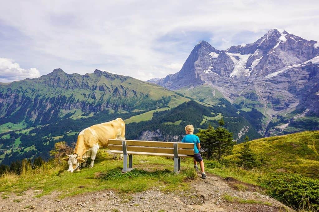
That made my surprise at the geological trail around the Wiriehorn all the greater. It turned out that geology doesn’t have to be just boring school stuff, but can be a fascinating story of the landscape you’re walking through. And if you come here at the right time, it’s not just geology that awaits you. During our visit, the mountain meadows in the Diemtigtal Nature Park were in full bloom with wildflowers, so in addition to the geological excursion, we also enjoyed an unplanned lesson in botany.
Geological Trail around Wiriehorn
The Geological Trail around Wiriehorn is approximately 9.1 km long and takes about 3.5 hours of walking time to complete.
Those who wish to extend the route to include the ascent to the summit of Wiriehorn (2,304 m above sea level) should allow for an additional 2 × 1.3 km and approximately 1.5 hours. The total length of the loop then increases to 11.7 km.
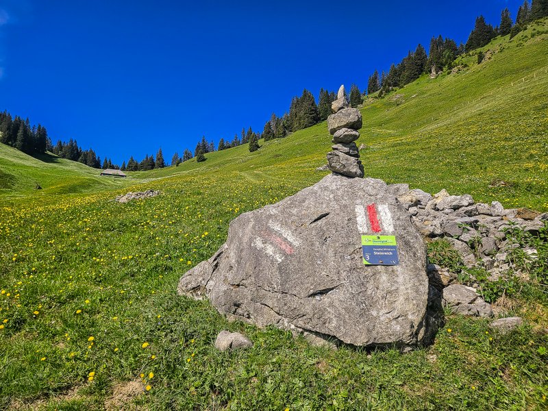
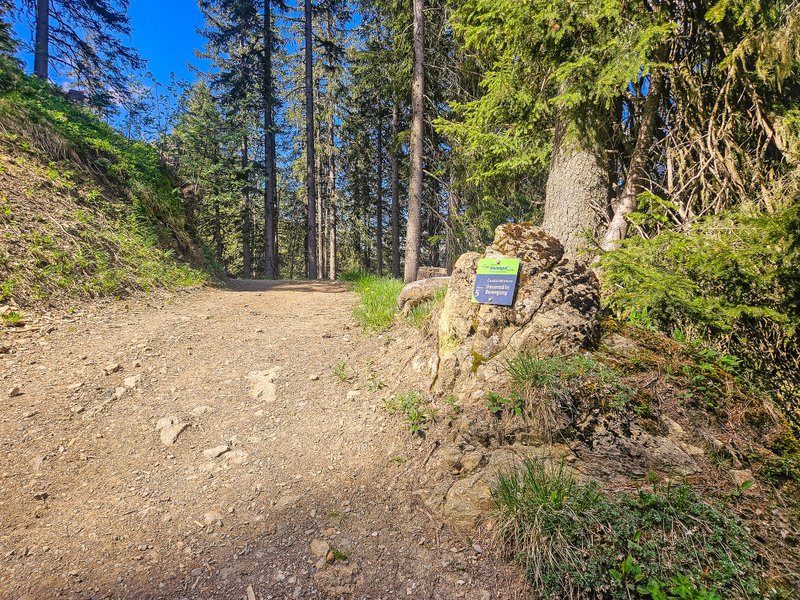
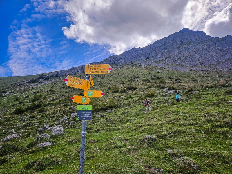
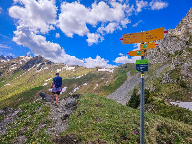
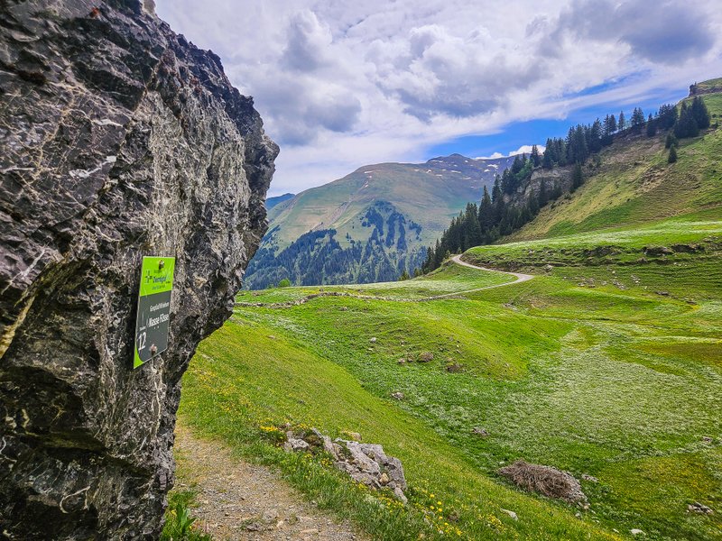
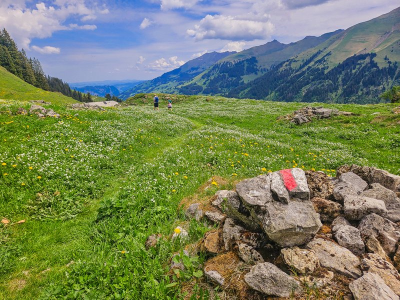
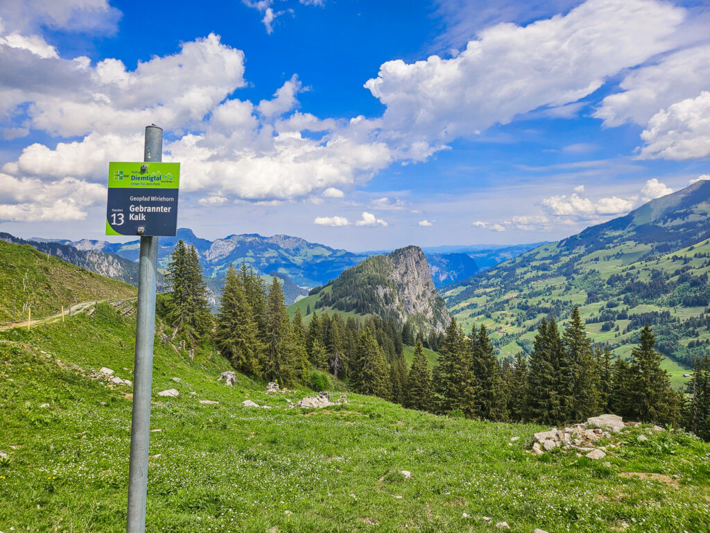
Don´t forget to take the informational brochure at the valley station – it will explain the formation of the local landscape, rocks, valleys, glacial formations, and soil at the 18 stops. The trail is marked with the number 322 at the signposts.

Practical Information: Parking and the Wiriehorn Chairlift
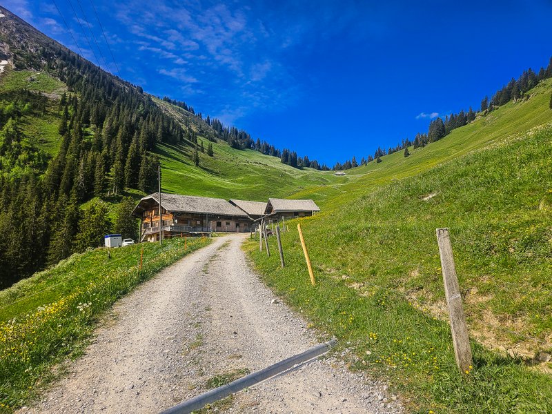
The starting point for the entire route is the Wiriehorn area in the Diemtigtal Nature Park, a pleasant 40-minute drive from Bern via the A6 highway. Take the Zweisimmen exit, and after about 7 km, turn left toward the Diemtigtal Nature Park. Park directly at the valley chairlift station. Parking is paid and costs 5 CHF for the whole day. You can pay via Twint, the Parking Pay app, or in cash at the payment machine.
By public transport: Take the train to the Oey-Diemtigen station, then take the Postauto line 250 bus to the Riedli, Talstation Wiriehorn stop.
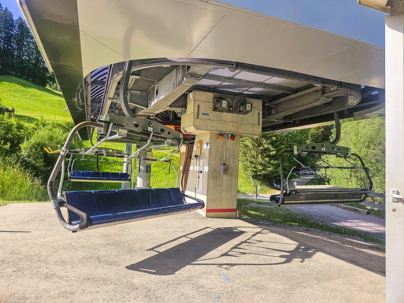
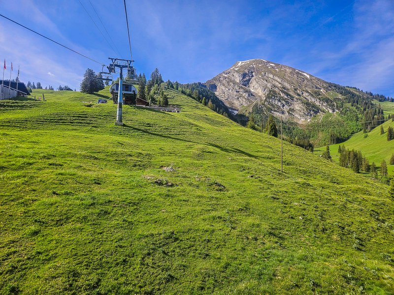
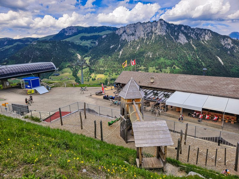
We took the chairlift up. For Magic Pass holders, the Wiriehornbahnen ride is included in the price.
If you do not have a Magic Pass, a one-way ticket costs 14 CHF for adults, 6 CHF for children, and children under 6 ride for free. If you plan to return to the valley on scooters, all you need is a one-way ticket up.
At the upper station of the cable car, you can rent classic scooters (Trottinett) or larger off-road scooters (Monstertrotti). We chose the classic option, which was perfectly sufficient for the trip down to the valley. Rental costs 13 CHF for one ride, 22 CHF for two rides, and 28 CHF for three rides. Those who prefer the sturdier Monstertrotti with larger wheels will pay 16 CHF for one ride, 26 CHF for two rides, or 34 CHF for three rides. The listed prices apply only to scooter rentals and do not include the chairlift ride.
The Geological Trail, Step by Step
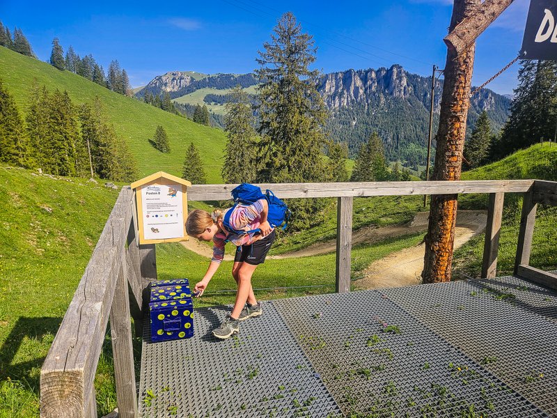
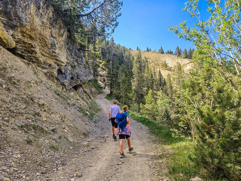
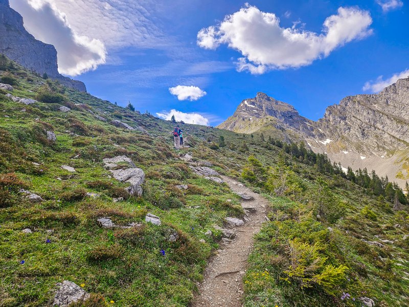
After getting off the lift, we first had to walk about a kilometer along a paved road. This road is shared by hikers, cyclists, and scooter riders heading back down to the valley, so it’s important to keep an eye out for children in particular. Along the way, we also came across a station on a shorter themed trail for younger children, Schatzpfad, so my daughter had to check out what it was all about.
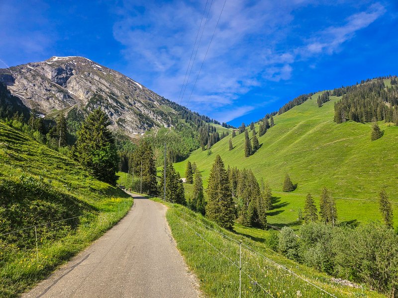
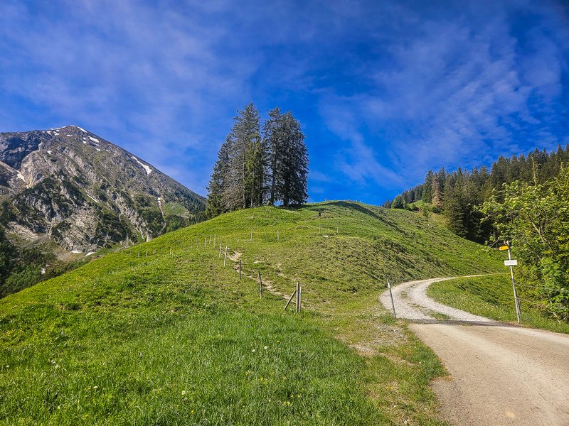
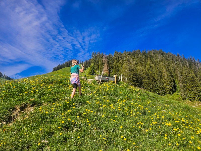
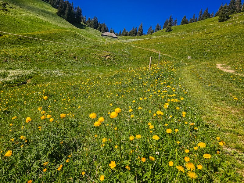
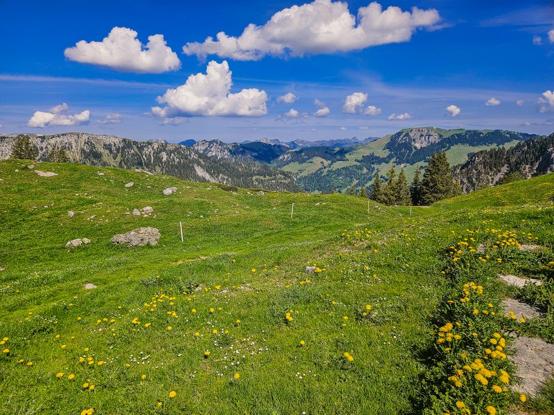
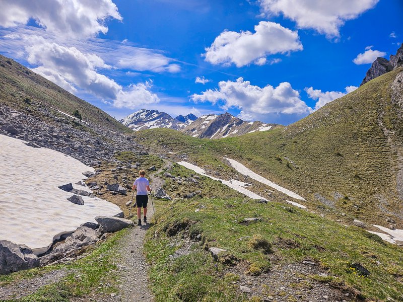
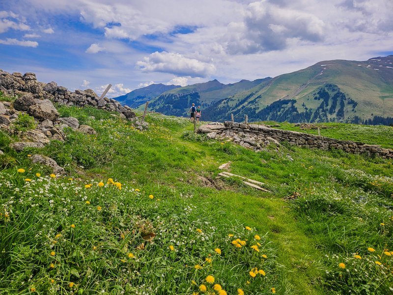
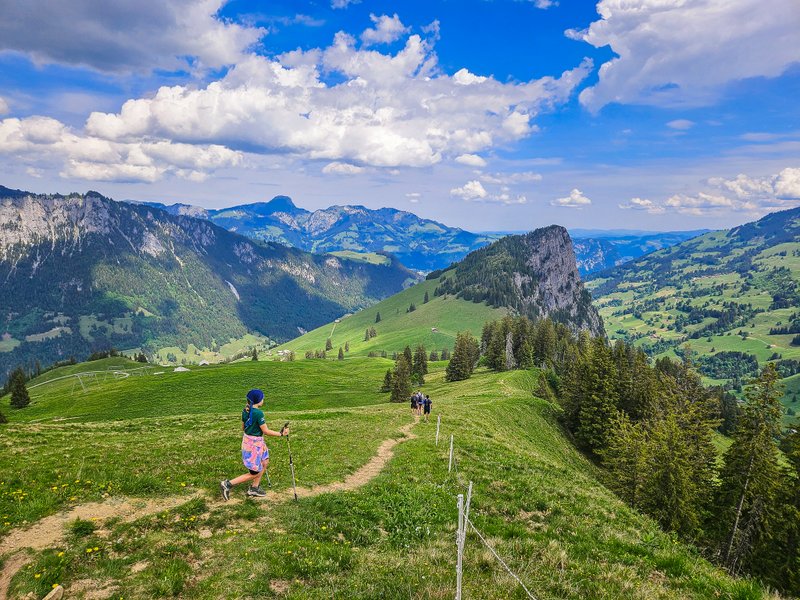
Fortunately, the paved road doesn’t last long. Soon you’ll turn onto a mountain trail that begins to wind its way upward. After the initial climb, the trail opens up onto wide mountain meadows in the Bodeflue area, where you’ll continue climbing uphill. Here, we fully enjoyed not only the views but also the blooming mountain flora. If you visit in early summer, you’ll find a veritable natural botanical garden full of mountain flowers.

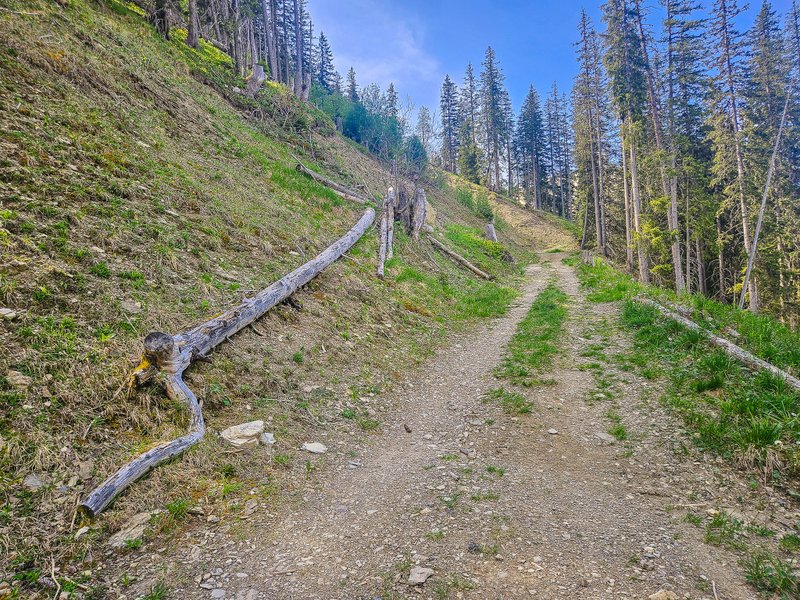
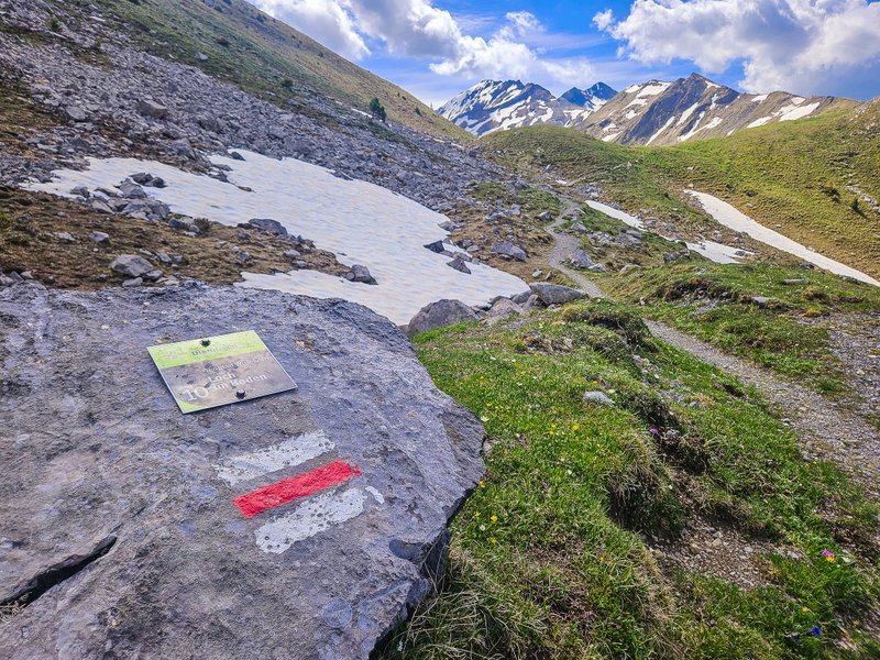
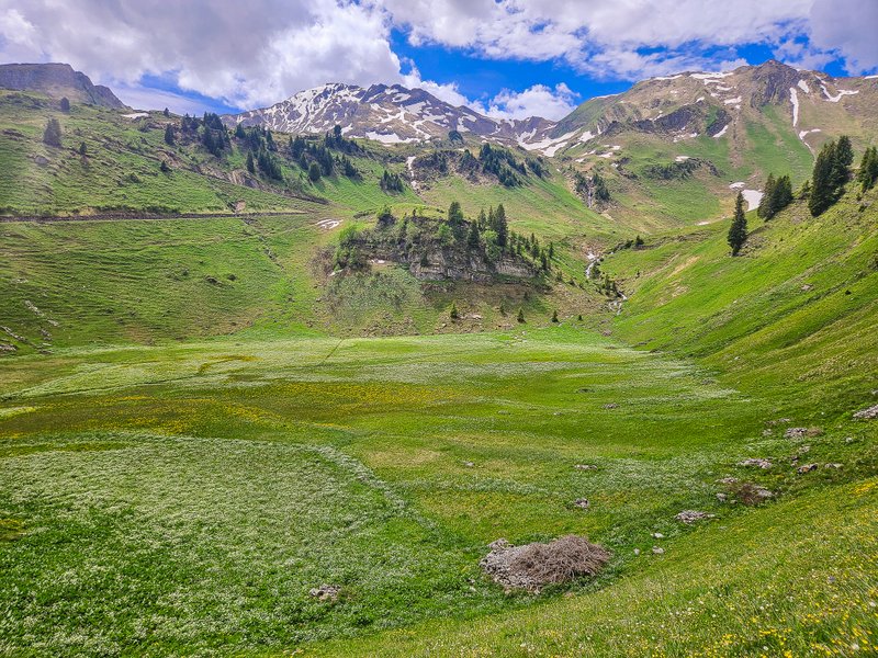
After this section of the trail, the landscape begins to change dramatically. One of the stops along the geological trail explains why landslides occur frequently here. We learned that the combination of steep slopes, fine-grained bedrock, and water causes certain parts of the terrain to shift slowly and continuously.
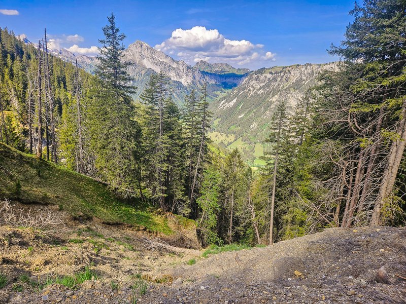

At the Wirie viewpoint, we took a short snack break because the next part of the climb lay ahead of us. The landscape changes again here. In places, it looks almost like a lunar landscape.

At signpost number 9, you can turn off toward the summit of Wiriehorn (2,304 m). We had originally considered this option, but since the weather was expected to take a turn for the worse soon—and it’s not wise to take risks in the mountains—we decided to continue along the loop trail. At least we have a reason to come back here someday.
Marmots, Wetlands, and Mountain Meadows
We then climbed up to the pass, where we were surprised to find patches of snow. But what made us even happier were the marmots. We spotted several of them right along the trail, and it was undoubtedly one of the highlights of the entire trip.
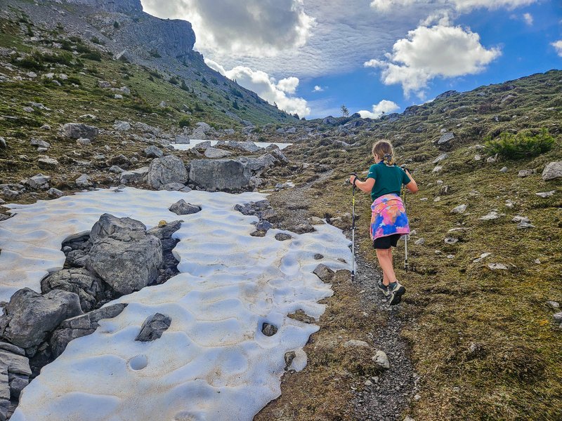

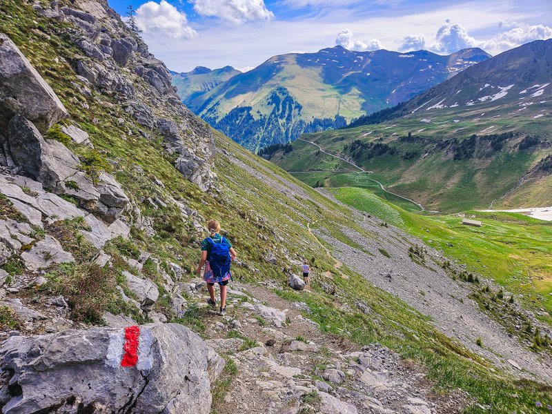
From checkpoint number 11, we reached the highest point of the loop, and from there on, the trail was mostly downhill. In some places, it’s quite steep, so I would definitely recommend hiking poles for added safety.

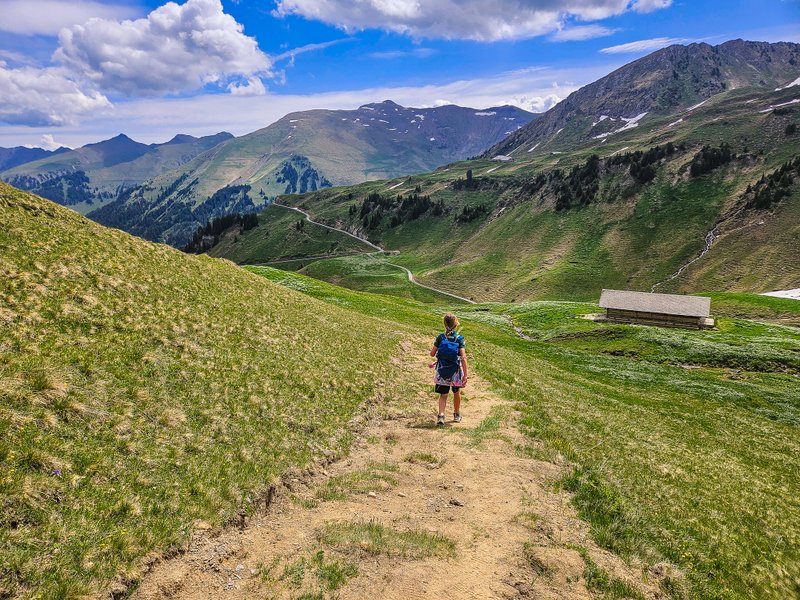
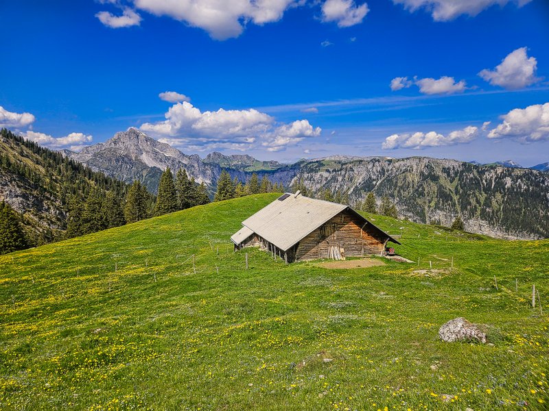
Gradually, we descended into what felt like a completely different world. The dry, rocky slopes gave way to wetlands and damp meadows. Stop number 12 is dedicated to the local peat bog (Flachmoor). The brochure explains that the water here has nowhere to drain, so the soil remains permanently waterlogged and a layer of peat gradually forms. Thanks to this, plants grow here that you wouldn’t find in a typical mountain meadow.

Shortly thereafter, we arrived at the lime-burning stop. I must admit that this was one of the places that surprised me the most. More than 200 years ago, there was a lime kiln here where limestone was burned. The resulting lime was then used to make cement for building mountain cottages and other structures in the region.
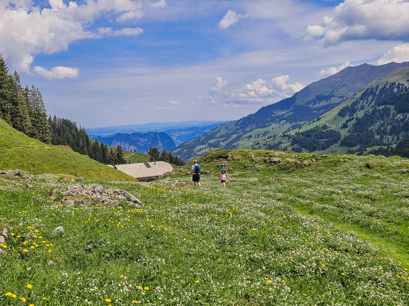
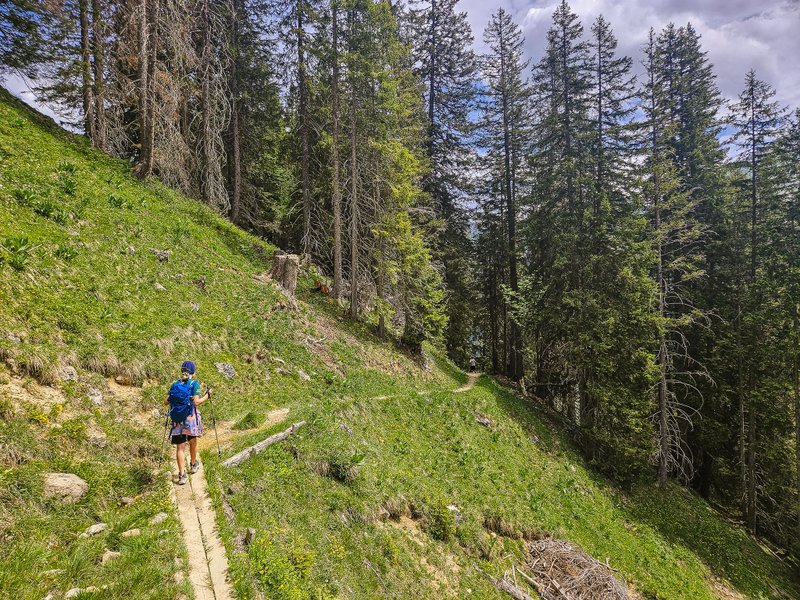

From this point on, it was mostly downhill. Suddenly, I recognized places we had skied down in the past. The trail runs partly along the ski slopes, and passing through the Schwarzenberg area, we reached a mountain restaurant, from which it’s about a ten-minute leisurely walk along a paved road back to the starting point at the upper station of the cable car in Nüegg. But our day on the Wiriehorn was far from over.

Down to the Valley on a Scooter
Instead of taking the chairlift down, we rented scooters and had a roughly six-kilometer descent into the valley ahead of us. The perfect way to cap off a day spent in the Diemtigtal Nature Park.
Final Recommendations
- If you decide to tackle this route, I recommend sturdy hiking boots and hiking poles.
- The descent from the highest part of the loop, in particular, can be quite steep and slippery when wet. After rain, I would only set out on the trail with sufficient caution.
- If you want to head to Wiriehorn with younger children, I recommend starting with the easy, approximately 2.5-kilometer-long “Schatzpfad” puzzle trail
- The Wiriehorn area is very well known among mountain bikers, who have their own downhill trails here.
- And if you’re traveling with children, I definitely recommend ending the day just as we did—with a scooter ride back down to the valley. The six-kilometer-long route is a great reward after completing the loop and has become one of the highlights of the entire day for our children.
You might also like


I am a member of


Map of activites

Podcast
You may be also interested in
Social Media
Categories
Subscribe