


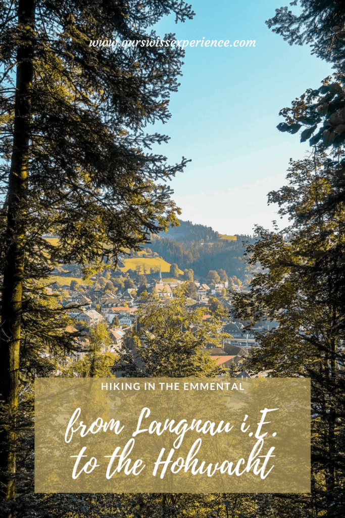
Hiking in the Emmental: to the Hohwacht near Langnau
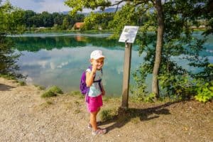
It was one of those days when I wanted to go on a solo hike. The family did not protest. But my little ones thwarted my plans when saying 15 minutes before the train was supposed to leave that she wanted to go with me. Well, I had planned a route of about eleven kilometers to the Hohwacht lookout south of Langnau with an elevation gain of 400m. Ok, so I took her with me. At 8:17 we got off the train in Langnau* and then … I couldn’t have wished for a better hiking partner! And as my friend said when I told her about our hike – it was a mother and daughter quality-time that I will remember for a long time!
Arrival
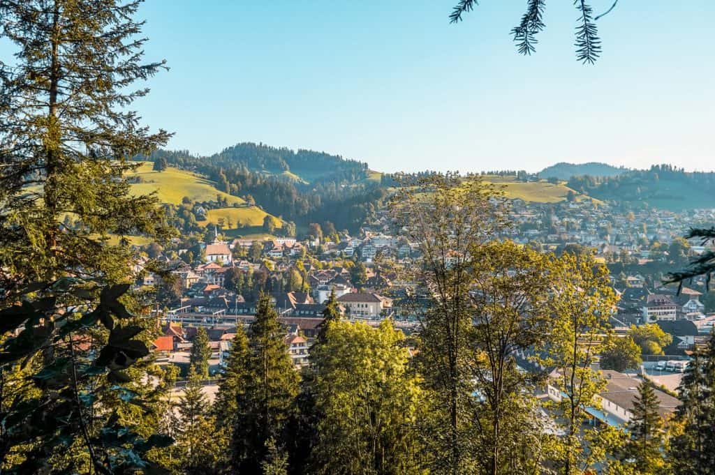
*For those who are new to Switzerland – Langnau is not the same as Langenthal, which I wrote about here last time. While Langenthal is located in Oberaargau northeast of Bern, Langnau is located in Emmental about 30 km east of Bern. I have to admit that it took me quite a long time to stop confusing these towns – it basically only improved when we started going to both of our boys’ hockey tournaments 🙂
So the best way to get to Langnau is by train, frome Bern you are here with RegioExpress in less than half an hour. By car on road no.10 in 40 minutes.
Start of the route
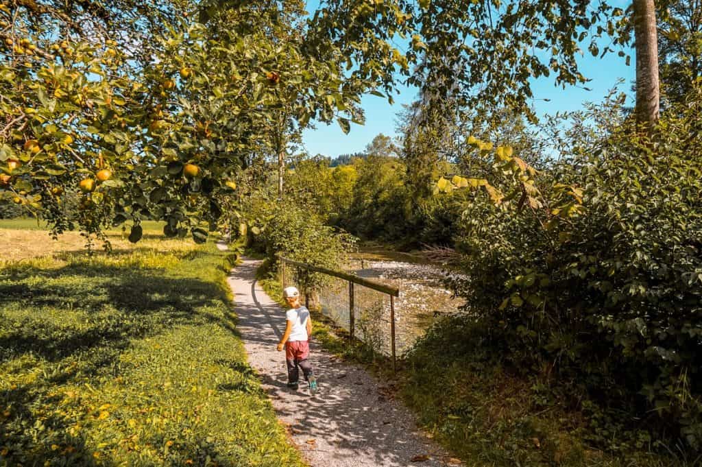
The route starts directly at the train station. There is a signpost directly opposite the station building, which will take you to the left to the railway underpass, then walk along Schmiedenstrasse to the bridge over the Ilfis River. Right behind it is another signpost – the direction to Hohwacht is indicated by two arrows, each in a different direction. You turn left straight behind the bridge, as if you wanted to walk along the river. After a few meters, the ascent to the forest begins.
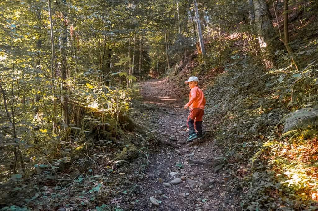
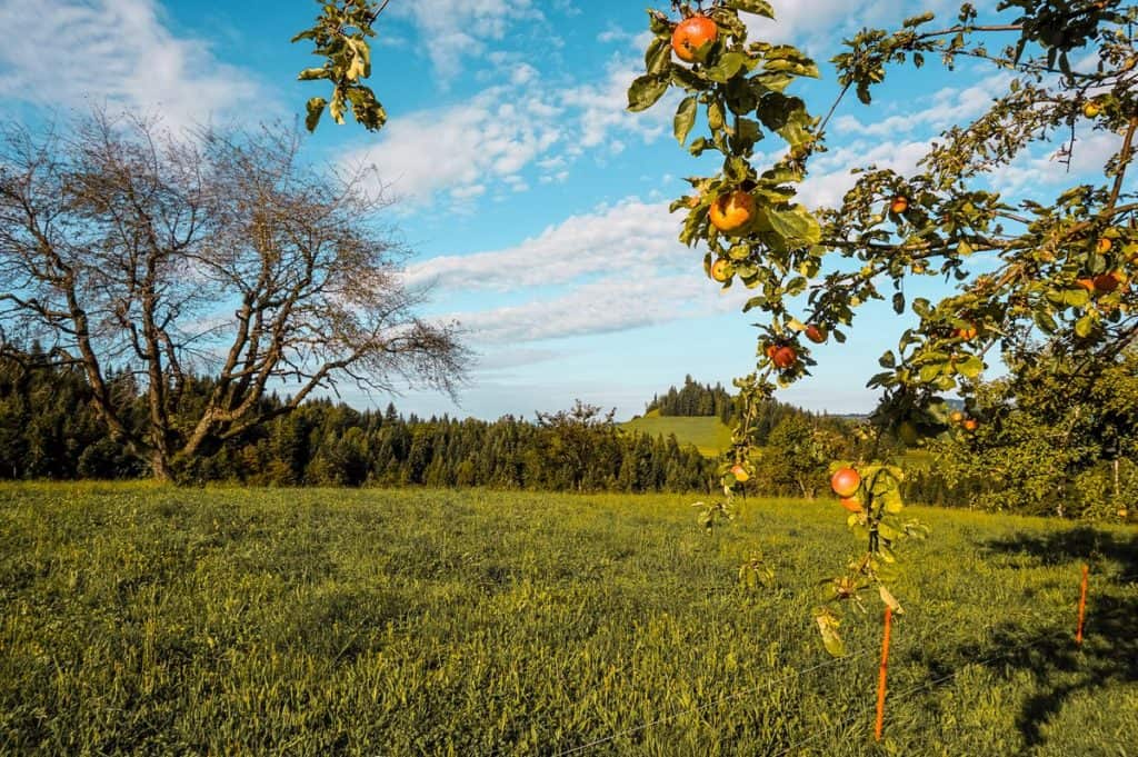
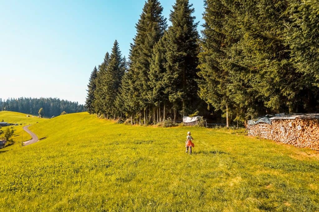
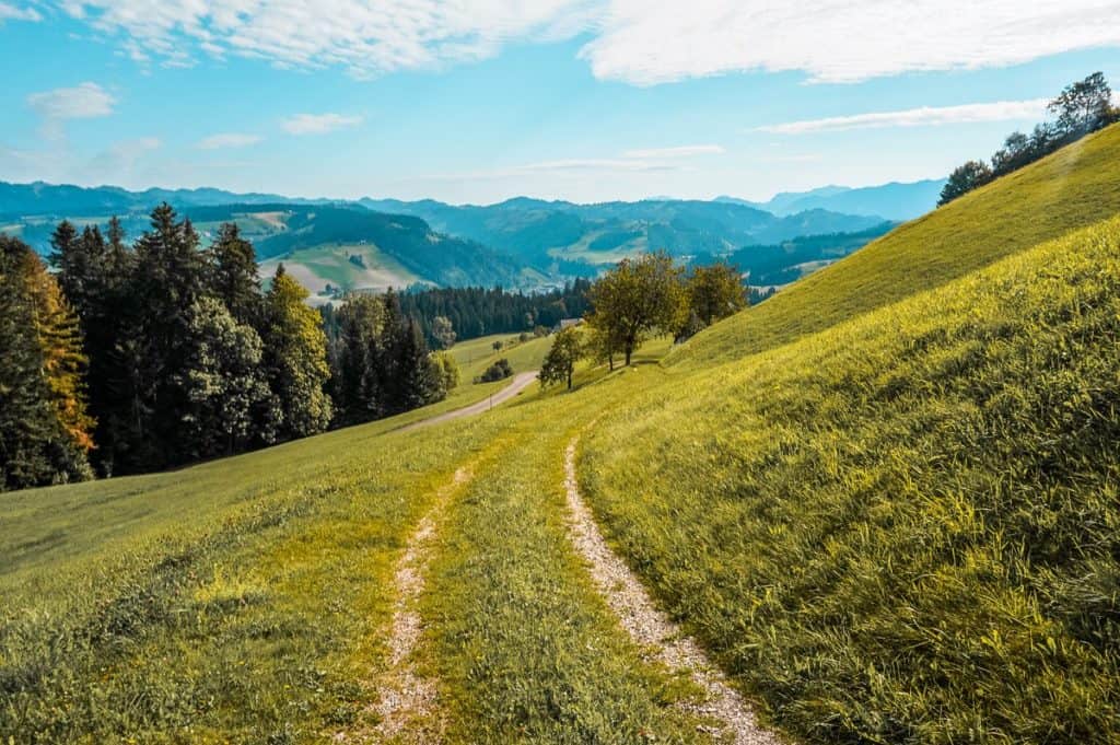
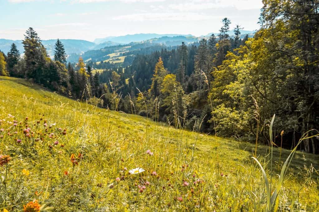
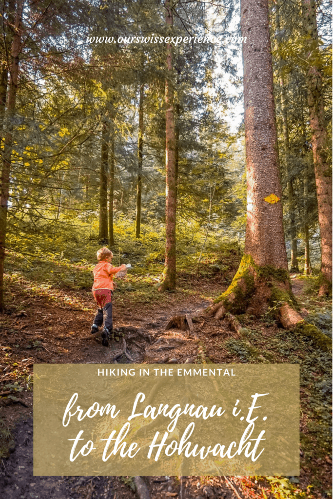
Furthermore, the route climbs mostly along a forest path, in some in sections along a dirt road or through pastures, then a short distance along the road to the Hohwacht.
The climb is quite steep, on three kilometers to the Hochwacht you can overcome an elevation gain of 400 meters. The last roughly a kilometer in the forest awaits you countless climbs of wooden stairs.
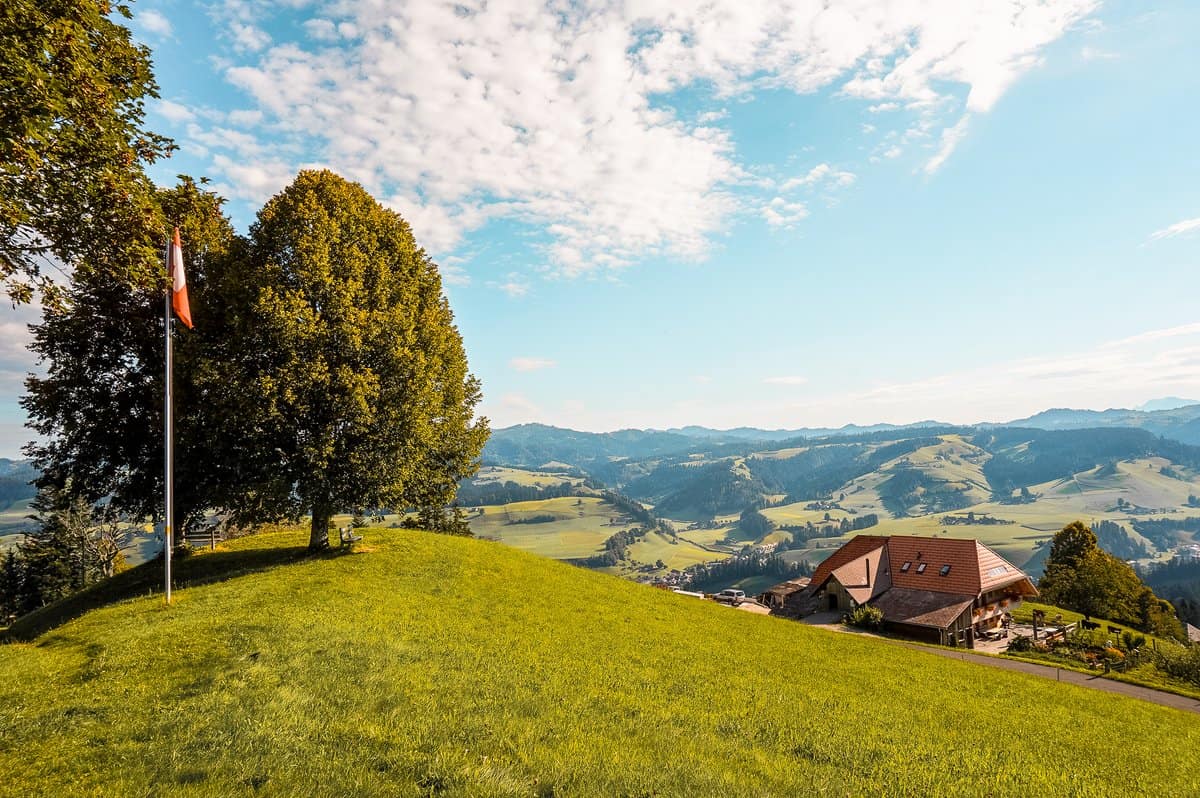
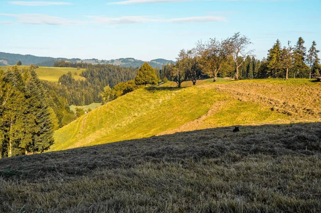
Hohwacht
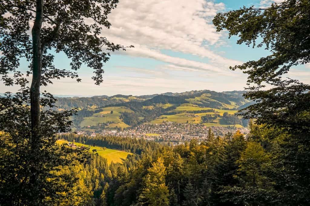
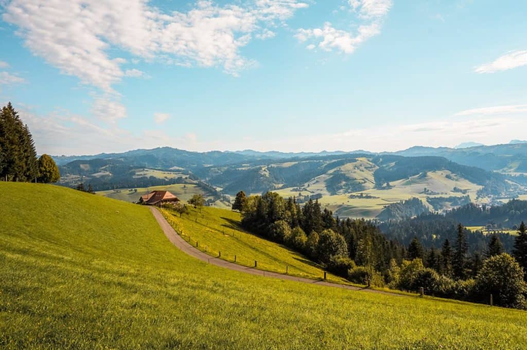
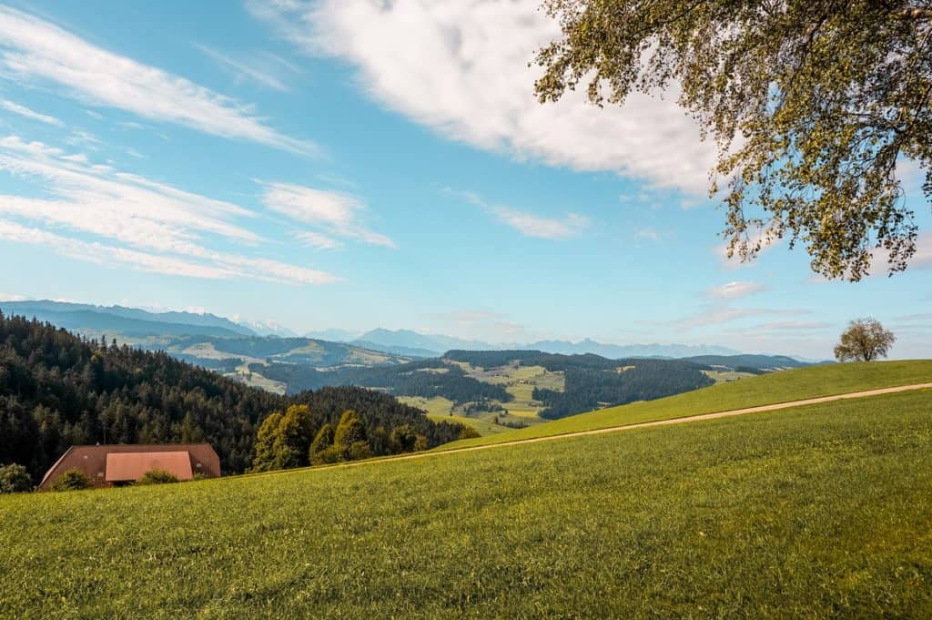
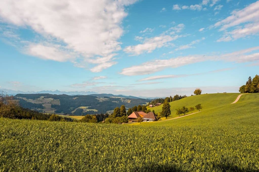
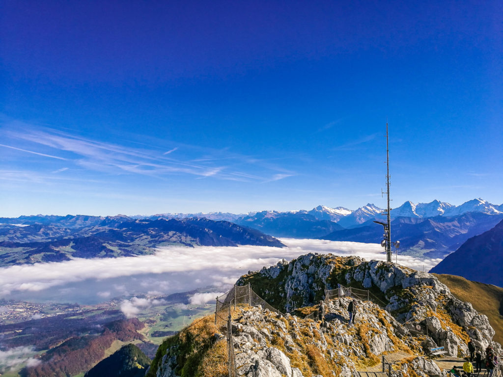
The reward for the effort will be the view of the Hohwacht with a beautiful view of the hills and forests of the Emmental.
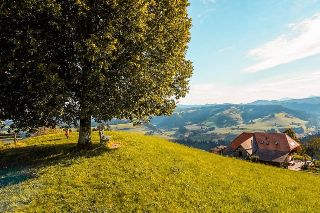
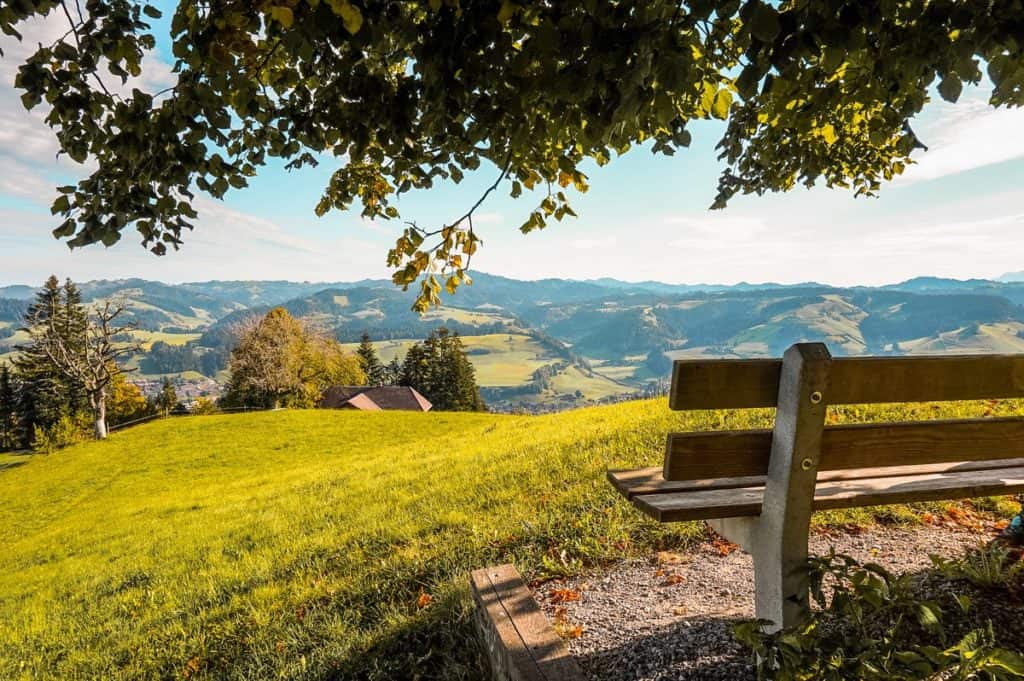
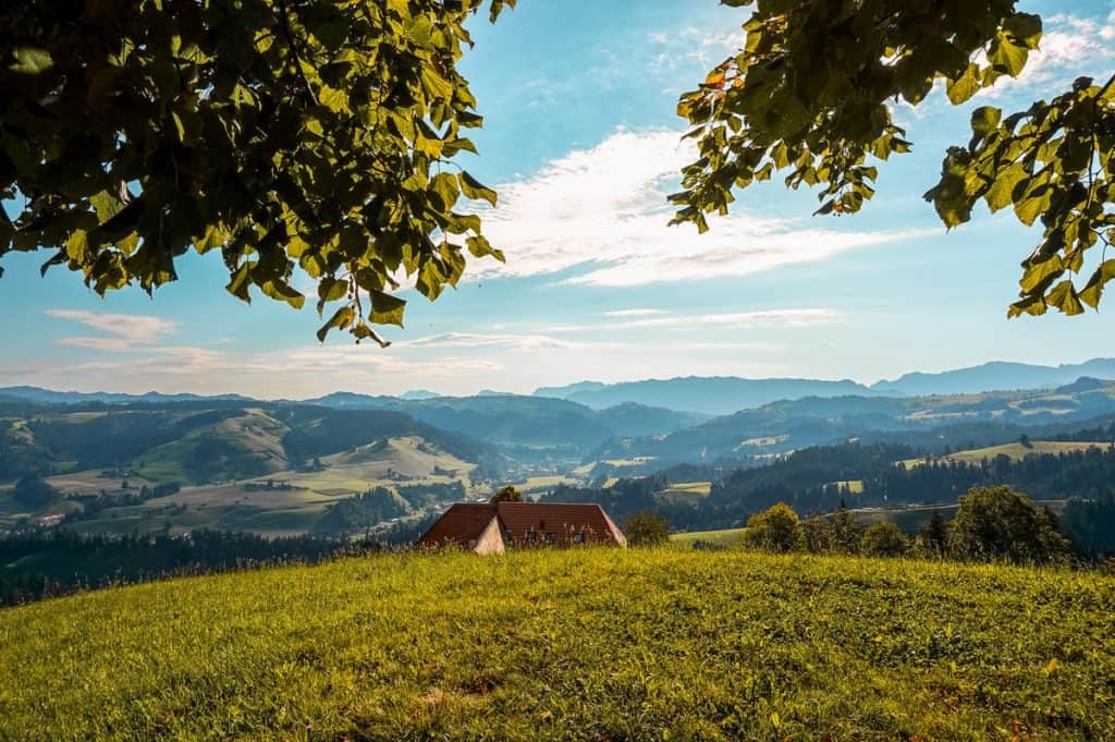
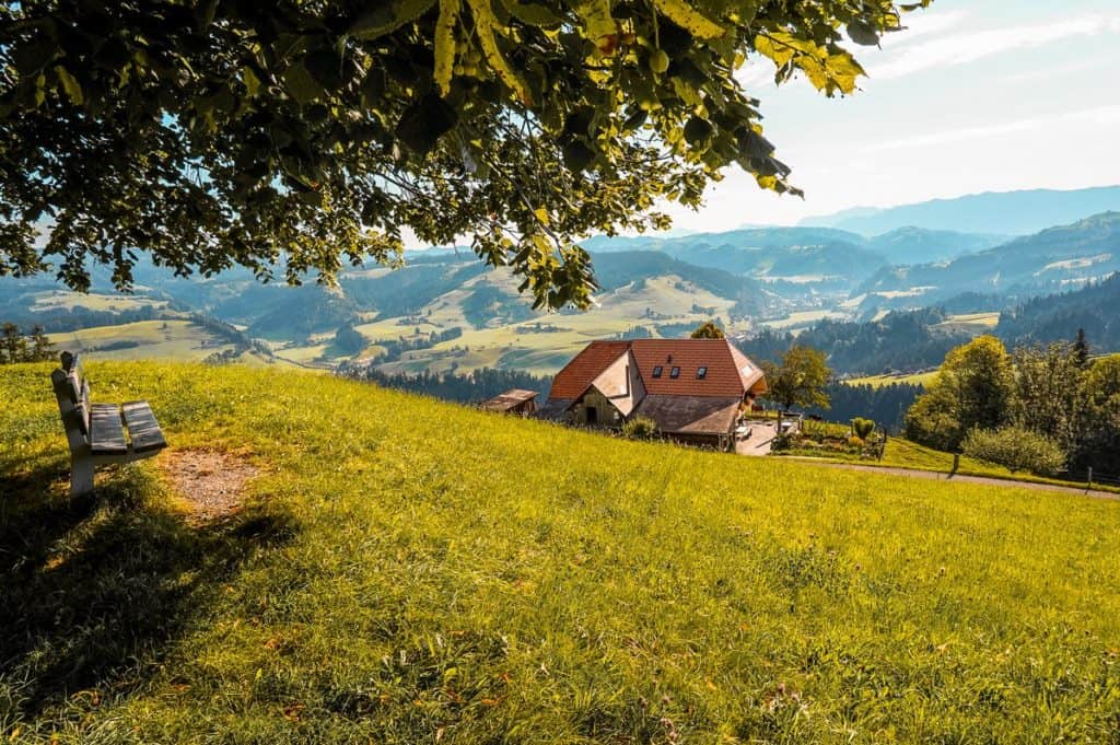
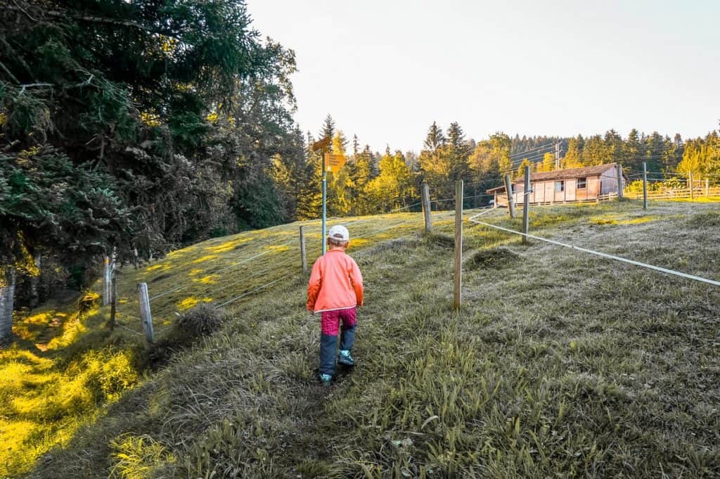
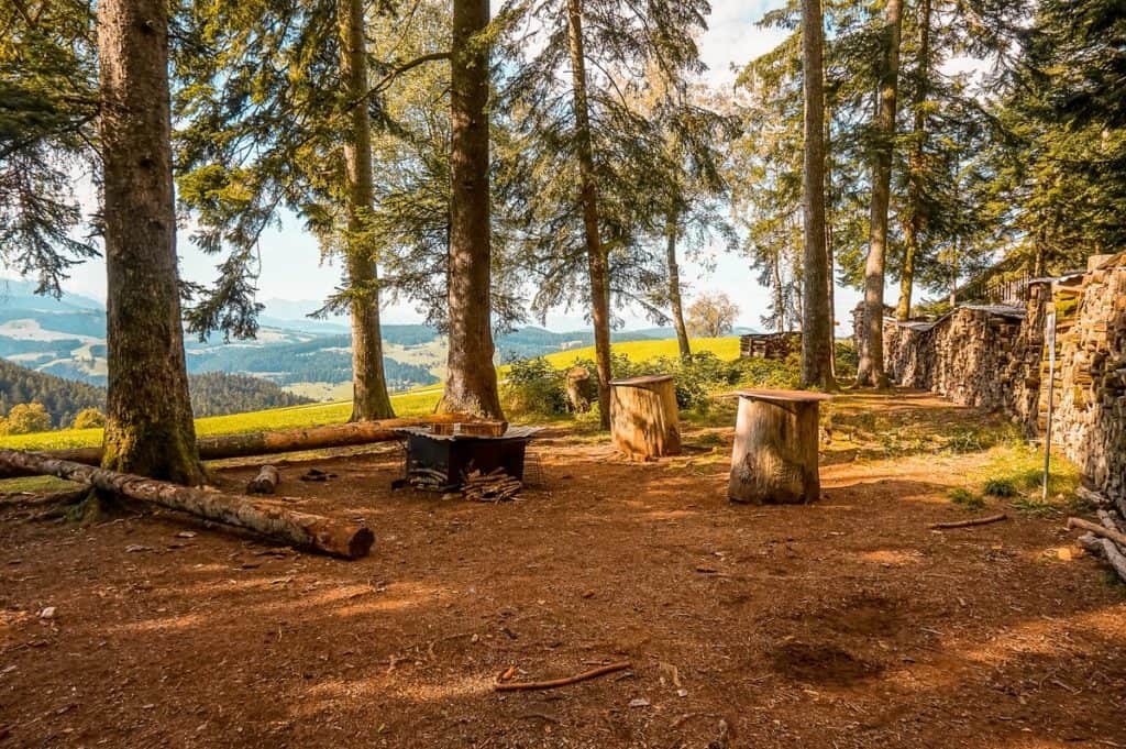
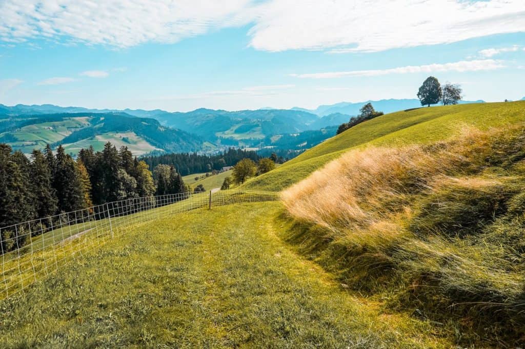
The route continues along the ridge more or less along the plain through open landscape and forest. At the Scheidegg signpost you will find a place to grill. Here you can also enjoy beautiful views of the Alps.
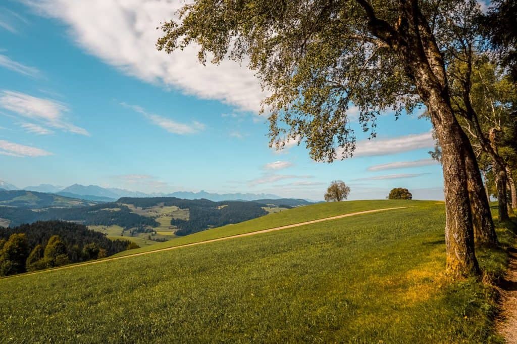
From here, it is about 5 minutes to the Hinter Scheidegg signpost, from where the descent begins again (again, in some places quite steeply) via the Mittler Stärberg to the Ilfis river valley. Along it you will go the last about 3 kilometers back to the station.
Summary
- The route measures 11 kilometers and is not suitable for strollers.
- Due to its height profile (which can be found on the website of the Wandermagazin SCHWEIZ), it is more suitable for more proficient hikers. As my husband said, when I described our hike back to him at home, the route is more of a performance hike.


I am a member of


Map of activites

Podcast
You may be also interested in
Social Media
Categories
Subscribe